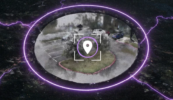
A visual positioning system (VPS) works out exactly where a camera is by comparing what it sees against a prebuilt 3D map of the space. It returns 6-DoF pose: three numbers for position, three for orientation, in the map's coordinate frame. Not "near aisle 14", but the precise point the camera occupies and the direction it faces.
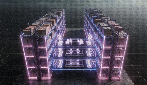
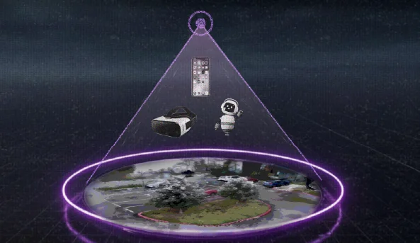
MultiSet captures any environment with any scanner, normalizes it through Vision Fusion into a unified compression-optimized map, then returns a centimeter-true pose in seconds when devices query the map.


| Visual positioning (VPS) | GPS / GNSS | Visual SLAM | LiDAR SLAM | UWB | BLE / Wi-Fi | QR / markers | |
|---|---|---|---|---|---|---|---|
| Typical accuracy | Sub-5 cm | 3 to 10 m, worse indoors | Drifts without a map | 2 to 5 cm | 10 to 30 cm | 1 to 5 m | Exact at the marker |
| Returns orientation | Yes, full 6-DoF | Heading only | Yes | Yes | No, position only | No | Yes, at the marker |
| Works indoors | Yes | No | Yes | Yes | Yes | Yes | Yes |
| Absolute or relative | Absolute, against a shared map | Absolute | Relative to where it started | Relative to where it started | Absolute | Absolute | Absolute at each marker |
| Hardware to install | None, uses the existing camera | None | None | LiDAR sensor per device | Anchors plus tags | Beacons, battery cycle | Printed targets |
| Survives app restart | Yes | Yes | No, session resets | No, session resets | Yes | Yes | Yes |
| Multi-user shared frame | Yes | Yes | No | No | Yes | Yes | Yes |
| Main cost driver | Capture the space once | None | None | Sensor cost | Installation and survey | Install and battery maintenance | Placing and maintaining targets |
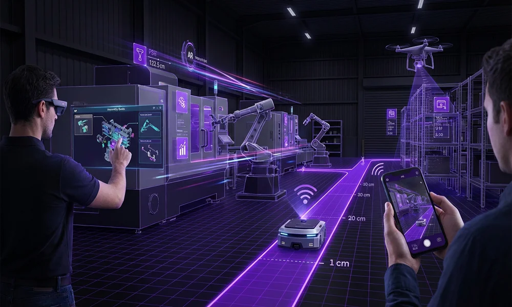
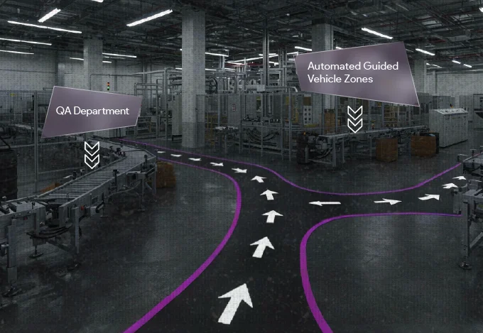
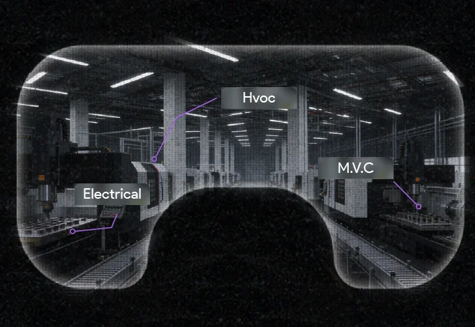
VPS becomes useful the moment a worker, robot drone or asset needs to know exactly where it is. Three patterns drive most enterprise rollouts:
Satellite signals do not survive a roof and a steel frame, so everything called indoor positioning is a way of replacing that missing signal. There are four families, and the choice between them is mostly a question of what you are willing to install.
A camera against a map. The device compares what it sees to a prebuilt 3D reconstruction of the building and gets back a full position and orientation. Nothing to install, but the space has to be captured once.
Radio time-of-flight. Ultra-wideband anchors and tags exchange precisely timed pulses. Ten to thirty centimetres is realistic, and it is an infrastructure project: anchors need power, mounting and surveying, and every tracked thing needs a tag.
Radio signal strength. Wi-Fi and Bluetooth beacons trilaterate from measured signal strength. One to five metres, degrading as people and inventory move around, with batteries to replace on a cycle.
Printed targets. QR codes and markers at surveyed positions. Exact at the marker, drifting between them, and someone has to maintain thousands of stickers in an environment that scuffs and repaints them.
The table above sets the four against each other on accuracy, orientation, persistence and cost.
No. SLAM maps as it moves, from wherever the device started. Two devices never agree, and nothing survives closing the app.
A VPS localizes against a shared map that already exists, and every device gets the same frame, next week too. In production they run together: SLAM tracks frame to frame, and the VPS fixes drift.
More in VPS vs SLAM and indoor positioning technologies.
It depends on the job.
Paying for centimeters you don't need gets expensive. So does learning at pilot stage that meters were never enough.
Terms are in the glossary, and wayfinding is on indoor navigation.