Spatial Ground Truth for Every Robot, Device, and Human
Robots, drones, humanoids, and people share the space — but not a reference for where they are. MultiSet VPS delivers centimeter-scale 6-DoF localization on one shared coordinate system, built from scans you already own.
Warehouses, factories, construction sites, hospitals, and underground operations can't ship spatial data to someone else's cloud. MultiSet runs where your security posture requires — cloud to air-gapped. Same API, same map, every tier.
Cold start, every start.
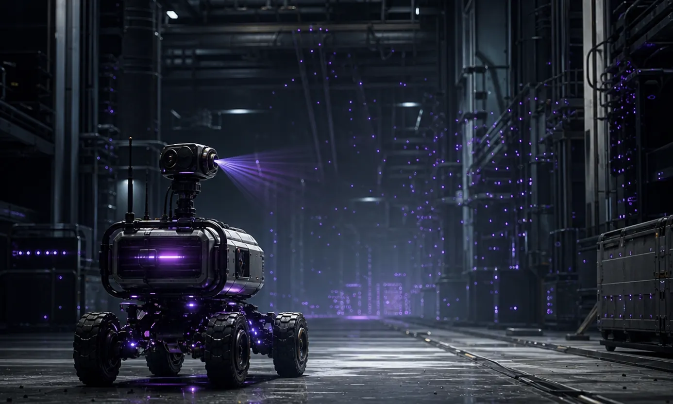
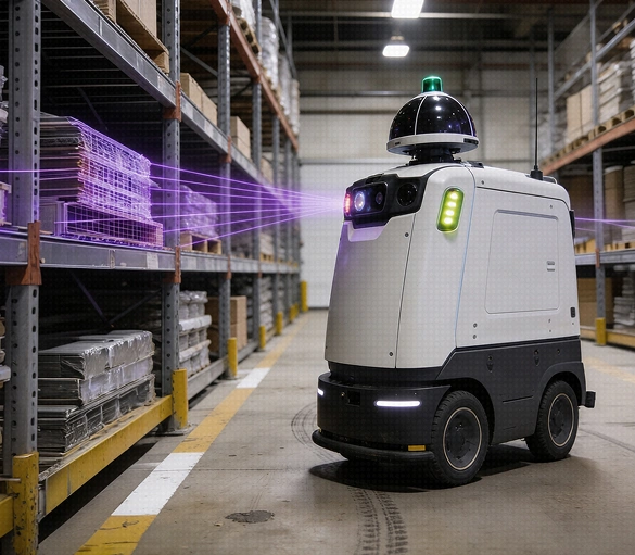
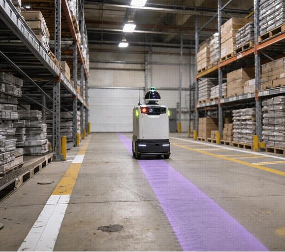
SLAM starts from zero — every robot explores before it works. With MultiSet, one camera frame on wake returns an exact 6-DoF pose. No wandering. No map-building delay.
Drift is inevitable. Misalignment isn't.
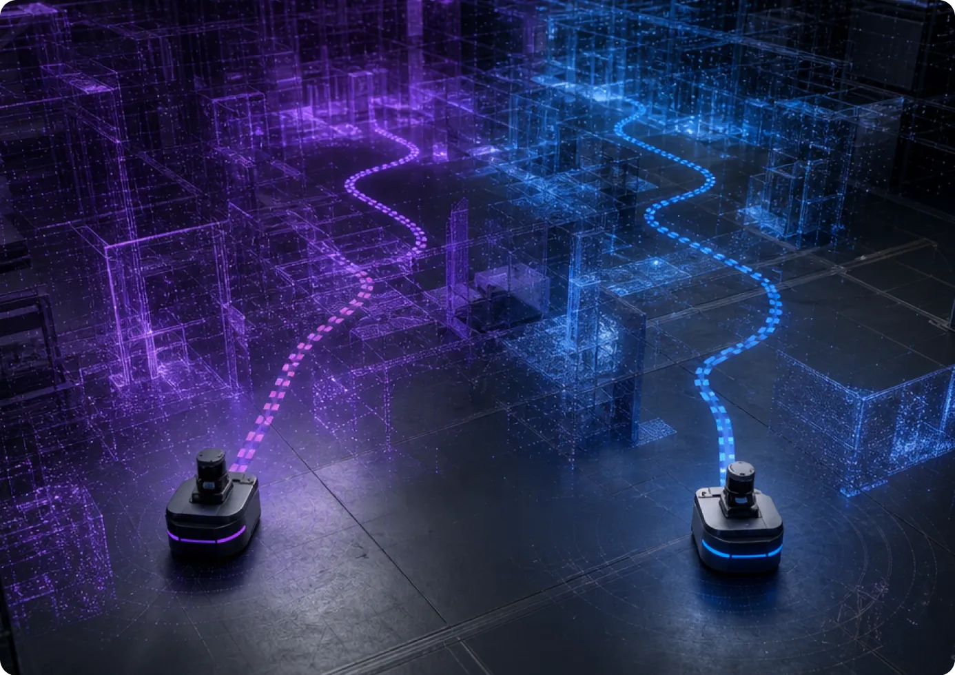
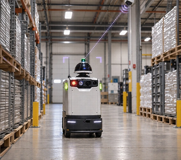
Sensor noise and wheel slip accumulate. Each robot's map drifts from reality — and from every other robot's. Absolute localization resets drift and keeps fleets aligned to ground truth.
Robots, glasses, and AI agents can't agree on "where."
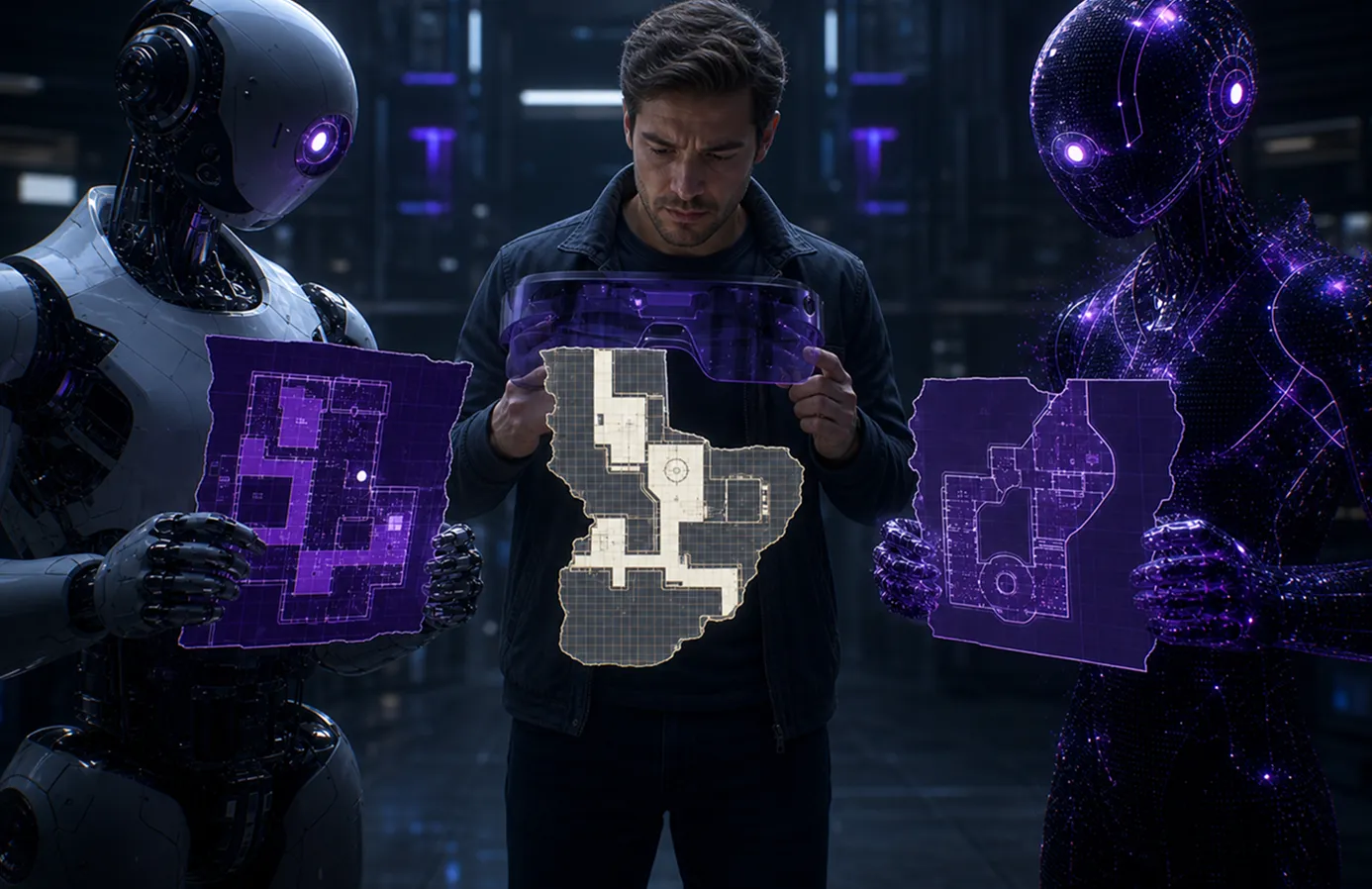
Every robot vendor, XR platform, and AI system keeps its own map. MultiSet aligns them all to one coordinate system — without replacing any of them.
Human-Robot Coordination on a Shared Coordinate System
When everything knows where it is, everything can work together.
Human-Robot Coordination
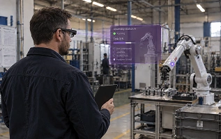
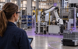
Workers see robot positions, intent, and safety zones anchored in place. Robots take human-set waypoints in coordinates both sides understand.
Smart Glasses + Robotics Orchestration
A supervisor in AI glasses sees live fleet telemetry pinned to each machine. Tasks pass robot to human and back — same anchors, same map.
One Reference for Every Modality
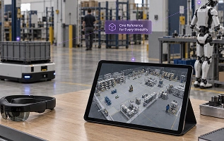
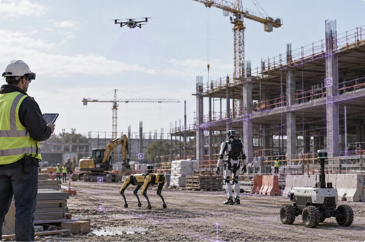
AMRs on ROS 2, drones, humanoids, phones, headsets, AI agents — every modality on one coordinate system. New devices onboard without a re-scan.
Object-level alignment.
MultiSet Object Tracking lets robots recognize and align to specific equipment from CAD or scan models — for docking, inspection, and manipulation.
Ingest
Build the map from capture you already own: E57, LiDAR, Matterport, 3D Gaussian Splats, 360 video, CAD/BIM.
Localize
Every robot, drone, headset, and phone gets its pose on one shared map.
Build localization maps from E57, LiDAR, Matterport, 3DGS, 360 video, CAD/BIM. No re-capture.
Cold-start localization
Absolute 6-DoF pose from a single camera frame on wake — no exploration run.
Two primitives, one SDK
VPS for environment-level localization, Object Tracking for equipment-level alignment.
Embed it under your platform
OEMs and robotics platforms ship MultiSet as their localization layer — your platform, your customers, our infrastructure.
Your map, your infrastructure
Public cloud, private cloud, self-hosted, or fully on-device. MultiSet never sees your data.
Fleet-wide drift correction
Periodic absolute relocalization bounds SLAM drift, keeping fleets aligned.
Every platform
ROS 2, Unity, iOS, Android, WebXR, and Meta Quest ship from the same map.
On-Prem, Private Cloud, and On-Device Robot Localization
From public cloud to air-gapped floor. Warehouses, factories, construction sites, hospitals, and underground operations can't ship spatial data to someone else's cloud. MultiSet runs where your security posture requires — cloud to air-gapped. Same API, same map, every tier.