Digital visualization showing spatial computing for industrial space mapping with raw 360 video data transforming into interactive AR interface on a tablet.

FARO to VPS: Turn a FARO Focus Scan into a Machine-Readable Localization Map

The as-built survey you already ran becomes positioning infrastructure.

Sub-5 cm median localization accuracy. Deploy anywhere.

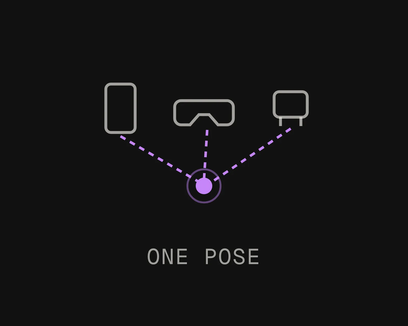
The output is a localization map, not another as-built deliverable. Phones, headsets, and robots resolve their 6-DoF pose against it.

Export It. Upload It. Localize It.

MultiSet accepts FARO E57 exports as a native VPS input. Register the scans as you normally would and export.

MultiSet reconstructs it into a 6-DoF localization map, with no separate photogrammetry pipeline in between.

Insta360 & MultiSet AI Visual Positioning System
Industrial and construction sites are usually already scanned
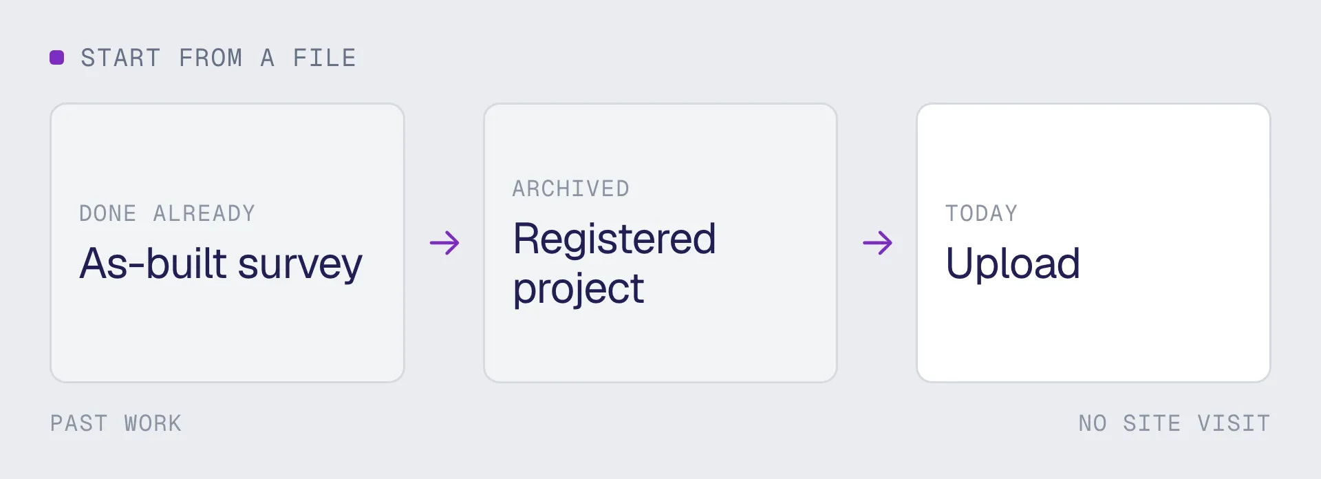
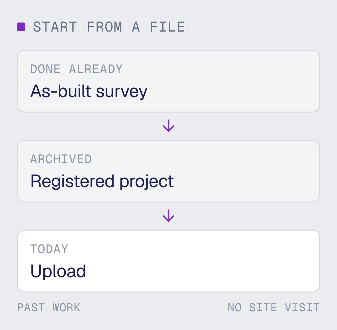
FARO Focus is one of the most common scanners on plants and construction sites, which means the buildings where positioning is worth most have usually been captured already. The registered E57 that came out of that job is the input, so a pilot can start from a file rather than from a site visit.

Supported export: E57 point cloud
Typical workflow:

- Capture with Focus, register the scans
- Export the registered project as E57

From FARO Scan to AR, Robotics, and Spatial AI in Three Steps

MultiSet 360 video to VPS: a handheld 360 camera scanning a warehouse aisle into a spatial point cloud
Export
Export the registered project as E57. Register first: unregistered individual scans are separate coordinate systems, and the map wants the tied-together result rather than a folder of stations.
MultiSet 360 video to VPS: raw 360 capture processing into a centimeter-accurate localization map
Upload
Log into the MultiSet Developer Portal. Select E57 as your input type, choose indoor or outdoor, and drop in the export. Scale and reconstruction are handled for you. Processing begins immediately.
MultiSet 360 video to VPS: phones, AR glasses and robots localize with 6-DoF pose on a warehouse map
Localize & Build
Your VPS map is live. Phones, headsets, robots, and spatial agents resolve 6-DoF pose against it via REST API. Scale across floors and buildings with MapSet, and keep versions and annotations current as the space changes.

Why Your As-Built Scan Is the Fastest Route to a Pilot

No Site Visit to Schedule

Sending a capture crew into a live plant is a permit, an escort, a toolbox talk and often a production impact. Using the scan that already exists removes all of it, and the facility can be localizing before the first site visit would have been booked.
A Localization Map, Not Just a Model

An as-built point cloud is something engineers check against. A VPS map is something devices query. Phones, headsets, and robots resolve their 6-DoF pose against it to sub-5 cm, across Unity, iOS, Android, WebXR, Meta Quest, and ROS 2.
Built for the Identical-Equipment Case

A plant room with forty near-identical pumps is where positioning earns its place, and it is exactly the kind of space FARO scans get commissioned for. The map already covers the hard case.
Stays Inside Your Infrastructure

Interior geometry of an operating facility is sensitive, and many operators cannot let it reach a third-party cloud. Private VPC, self-hosted and fully on-device deployments exist for exactly that, with the same binary in each.
Your Cloud or Ours

Run on MultiSet's public cloud, your private VPC, self-hosted on-prem, or fully on-device. Data is encrypted in transit and at rest, with enterprise identity and audit controls.
Campus-Scale with MapSet

Stitch FARO maps from multiple floors and buildings into one MapSet, and mix them with your Matterport, NavVis, Leica, 360 and Gaussian splat scans in a single coordinate system. Users localize continuously as they move between spaces, with no manual transitions and no drift.

From the Same FARO Scan: Digital Twin VPS Localization Map

A FARO scan produces an as-built record engineers verify and model against. MultiSet turns the same scan into a localization map your devices and robots query in real time. Different output, different job, and many teams run both.
Pilot Project
CAPABILITY
A 3D model / digital twin
A MultiSet VPS map
What it produces
A viewable 3D model, mesh, or digital twin of the space
A 6-DoF localization map devices query for their exact position
Primary job
Document, visualize, measure, and plan the space
Position phones, headsets, robots, and agents in the space, live
Who consumes it
People reviewing the space on a screen
Devices on site, resolving where they are to centimeters
On site
Revisited later in a browser or viewer
Localizes on device in under 1500 ms, on-prem or offline
Capture sources
Often tied to one capture type or platform
Scan-agnostic: FARO, Matterport, NavVis, Leica, 360 video, and 3DGS in one map
Where it fits
Captures and documents reality
Makes that same reality queryable for AR, robotics, and spatial AI
Frequently asked questions
Can you turn a FARO Focus scan into a VPS map?

Yes. Export the registered project as E57 and upload it. MultiSet builds a 6-DoF localization map that apps and robots query for their exact position, rather than an as-built record to verify against.

Do I need to register the scans first?

Yes. Unregistered individual scans are separate coordinate systems, so a folder of stations is not a map. Register as you normally would for an as-built deliverable, then export the tied-together project as a single E57.

Do I need to rescan the plant?

No, and on a live plant this is the single biggest saving. Sending a capture crew into a classified or operating area means a permit, an escort, a toolbox talk and often a production impact. Using the scan that already exists removes all of it.

Will it work in a plant room full of identical equipment?

That is the case worth testing, and it is the one to test first. Forty near-identical pumps is where markers and beacons fail: markers need a surveyed target on all forty and maintenance after every housing removal, and beacons put the technician in the room they already knew they were in. Absolute pose against a shared map separates them.

Can the scan stay inside our own infrastructure?

Yes. Public cloud, single-tenant private VPC, self-hosted on-premises and fully on-device all run the same binary. Interior geometry of an operating facility is sensitive, and on many assets the constraint is a customer contract rather than a regulation. Settle it in the first conversation, not at the security review.

How accurate is VPS from a FARO scan?

Sub-5 cm median, with pose resolved in under 1500 ms. Accuracy holds through changing light and people moving through the space, because matching is against the structure of the plant rather than against what is sitting in it.

What happens after a shutdown or a retrofit?

Scaffolding up, insulation off or a spool replaced usually needs no map change, because matching is against structural geometry. A moved wall or a relocated skid needs a partial recapture of the zones that changed, and authored anchors carry forward across map versions rather than being placed again by hand.