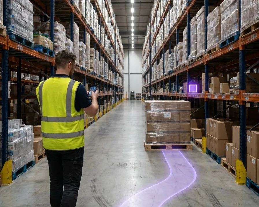
Indoor navigation on a tablet: camera-based positioning locating equipment inside a facility

Indoor Navigation: How It Works, and How to Choose a System

Satellite positioning stops at the door. What replaces it depends on one question.

Sub-5 cm median accuracy. Nothing installed in the building.

Routing a person to a room and identifying one object among identical ones are two different problems. They need different accuracy, and they cost different amounts.

What It Is. Why GPS Stops. What Replaces It.

Indoor navigation is guiding a person or a machine inside a building, where satellite positioning does not reach. Satellite signals do not survive a roof and a steel frame, and the partial fixes a receiver still reports are worse than none, because they are confidently wrong by tens of metres.

Everything else on this page follows from that. Something inside the building has to supply the position instead, and the options differ in what they cost to install, how accurate they are, and whether they can tell one object from an identical one beside it.
The question that decides which system you need
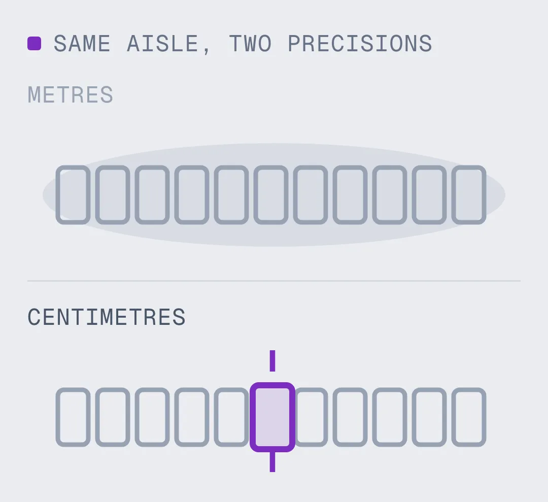
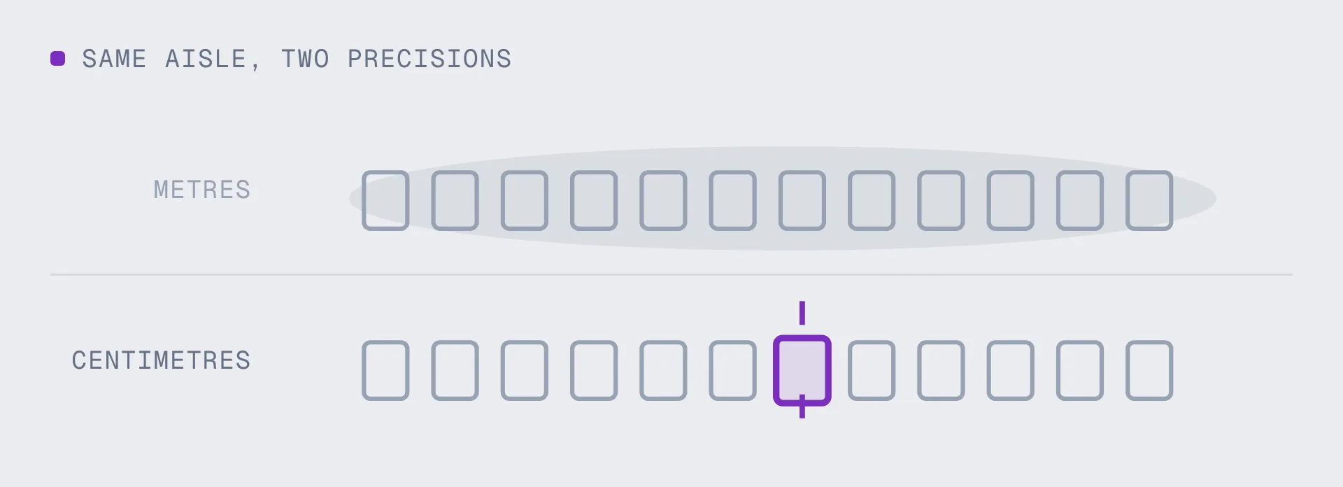
Ask whether metres are enough. Getting a visitor to the right meeting room, or a picker to the right aisle, is a metres problem, and a cheap system solves it. Putting a work instruction on the correct valve among twelve identical valves, or letting a robot and a technician agree on where a pallet is, is a centimetres problem. A system built for the first will never do the second, and paying for the second when the first would do is waste.

Metres are enough: wayfinding, room finding, zone-level asset search
Centimetres required:

- AR work instructions that must land on a specific unit
- Robots and people sharing one map of the same floor

How a Camera-Based Deployment Actually Goes

Capturing a facility interior to build an indoor navigation map
Capture
Walk the space once, or use a scan the building already has. E57, LiDAR, Matterport, 360 video and phone captures all work as inputs, so most sites do not need a new survey at all.
A building capture processing into a metrically scaled indoor localization map
Build
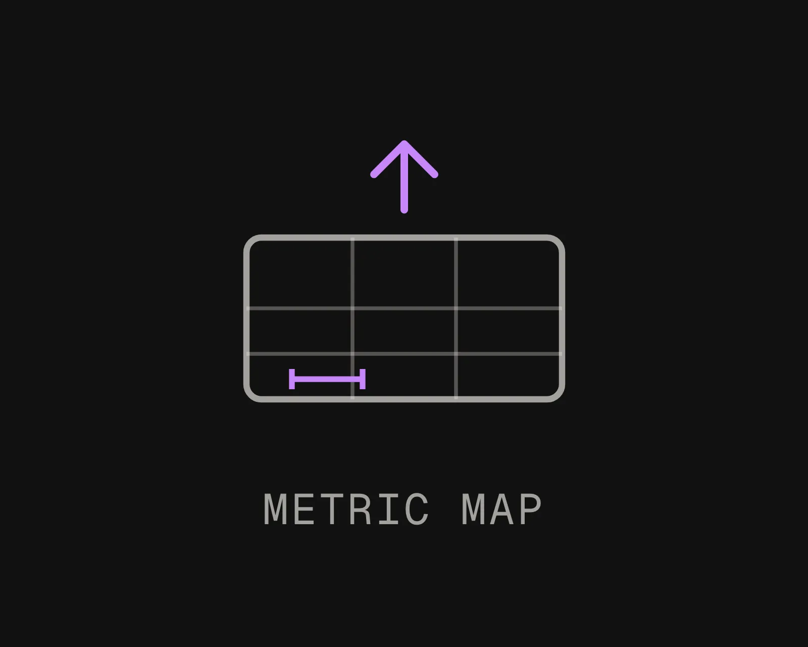
Upload the capture and it becomes a localization map, metrically scaled, in one coordinate frame. Nothing is mounted on a wall, nothing is wired, and no anchors are surveyed.
Phones, AR glasses and robots resolving 6-DoF position against an indoor navigation map
Deploy
Phones, headsets and robots query the map and get position and orientation back. Add floors and buildings with MapSet. Re-scan when the space changes and authored content stays anchored.

What Separates Systems That Stay In Use

No Infrastructure To Install

Beacon and anchor systems are building projects before they are software. Someone mounts hundreds of devices, surveys their positions, and replaces batteries for the life of the deployment. A camera-based system uses a map built from a scan and mounts nothing.
Position And Orientation, Not Just A Dot

Most indoor systems return a point on a floor plan. That is enough to draw an arrow and not enough to label the correct object, because it does not know which way the device faces. Six degrees of freedom means three numbers for position and three for orientation.
It Survives The Space Changing

Ask any vendor what happens after a layout change. A system that needs a full recapture, or a re-survey of every anchor, falls out of use inside a year. Re-scan the zone that changed and authored content carries forward.
One Map, Every Device

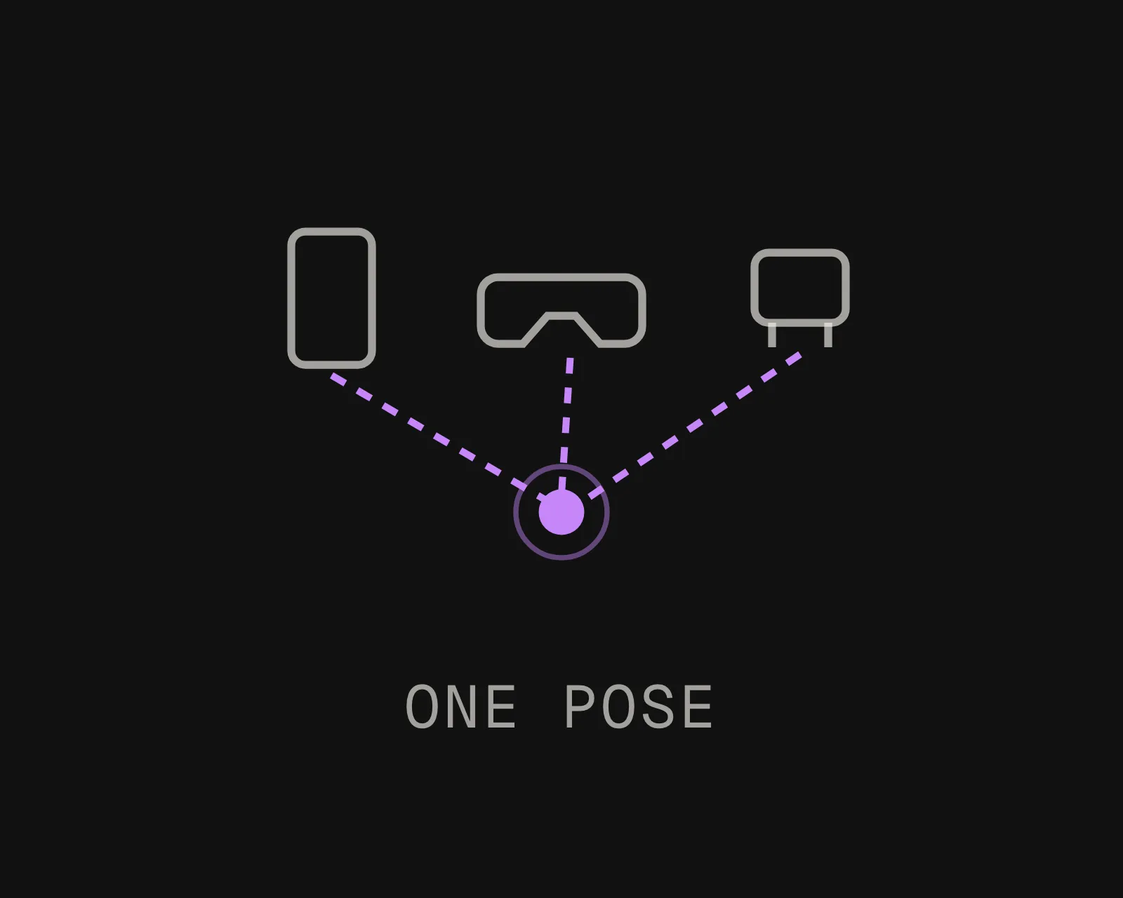
A phone, a headset and a robot resolving into the same coordinate frame turns every handoff between them into a lookup. Two systems in two frames means somebody reconciles them by hand.
Your Cloud Or Ours

Public cloud, your private VPC, self-hosted on-prem, or fully on-device with no network call. Interior scans of a working facility are sensitive, and where they live is usually a procurement question before it is a technical one.
Whole Sites, Not Single Floors

Floors, buildings and the outdoor stretches between them stitch into one continuous coordinate system with MapSet. People and machines move between spaces without re-localizing and without hitting a map boundary.

Metre-Level Or Centimetre-Level: Which One The Job Needs

Both tiers are legitimate and the cheaper one is often the right answer. The mistake is buying the wrong tier for the job, which usually shows up months later as a pilot nobody uses.
Talk It Through
WHAT YOU NEED
Metre-level (Wi-Fi, BLE beacons)
Centimetre-level (visual positioning)
Typical accuracy
One to five metres, degrading as the space fills with people and stock
Sub-5 cm median, with orientation as well as position
What it answers
Which room, which zone, roughly where on the floor
Which specific object, and which way the device is facing
What drives the cost
Hardware count, installation labour and battery replacement
One capture of the building, often one you already have
When the layout changes
Re-survey the affected anchors and update the fingerprint
Re-scan the zone that changed; anchored content carries forward
What it needs installed
Beacons or access points, mounted, surveyed and maintained
Nothing. A scan you already own becomes the map
Best fit
Wayfinding, room finding and zone-level asset search
AR work instructions, robotics, and finding one unit among identical ones
Frequently asked questions
What is an indoor navigation system?

A system that determines where a person or a machine is inside a building and guides them from there, using something other than satellite positioning. The positioning part is the measurement. The navigation part is the routing you build on top of it, and it is only as good as the position underneath.

Why does GPS not work indoors?

Satellite signals are weak by the time they reach the ground and a roof, a steel frame or a concrete deck blocks them. The dangerous case is not the clean loss of signal. It is a receiver under partial sky that still reports a position, confidently, and is wrong by tens of metres. Indoors, GNSS-denied is the normal condition rather than an edge case.

How accurate does indoor navigation need to be?

It depends entirely on the job. Guiding someone to a room needs metres. Landing an overlay on the correct unit among identical units needs centimetres and orientation as well as position. Decide which one you are buying before you compare vendors, because the two categories are priced and installed very differently.

Do I need to install beacons or other hardware?

Not for a camera-based system. A visual positioning system works from a prebuilt map of the space, so the only requirement is a capture of the building, and most industrial sites have been scanned at least once already. Beacon and ultra-wideband systems do need hardware: devices mounted, positions surveyed, and batteries replaced for the life of the deployment.

What is the difference between indoor navigation and indoor positioning?

Positioning is determining where something is. Navigation is planning and guiding a route once you know. Vendors use the terms interchangeably, which hides the important part: a navigation product is only as accurate as the positioning method underneath it, so ask about that method rather than about the app.

Can indoor navigation work offline or in a secure facility?

Yes. Localization can run on the device itself with no network call, which keeps imagery local and gives the lowest latency. For sites where no third-party cloud call is permitted, the same software runs self-hosted on your own hardware, and in air-gapped deployments with no outbound connection at all.

How long does it take to deploy indoor navigation in a building?

If the building has already been scanned, the map is a processing job rather than a project. If it has not, a walkthrough covers roughly 1,000 sq ft per 60 seconds of capture, and larger sites are recorded in several passes and stitched into one continuous map. Compare that against a beacon rollout, where the install and the survey are the schedule.