Digital visualization showing spatial computing for industrial space mapping with raw 360 video data transforming into interactive AR interface on a tablet.

Drone to VPS: Turn One Flight into a Machine-Readable Localization Map

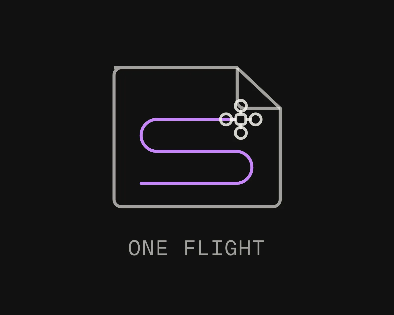
Fly the site once. The aircraft and the technician who walks it later query the same map.

Sub-5 cm median localization accuracy. Works where GNSS does not.

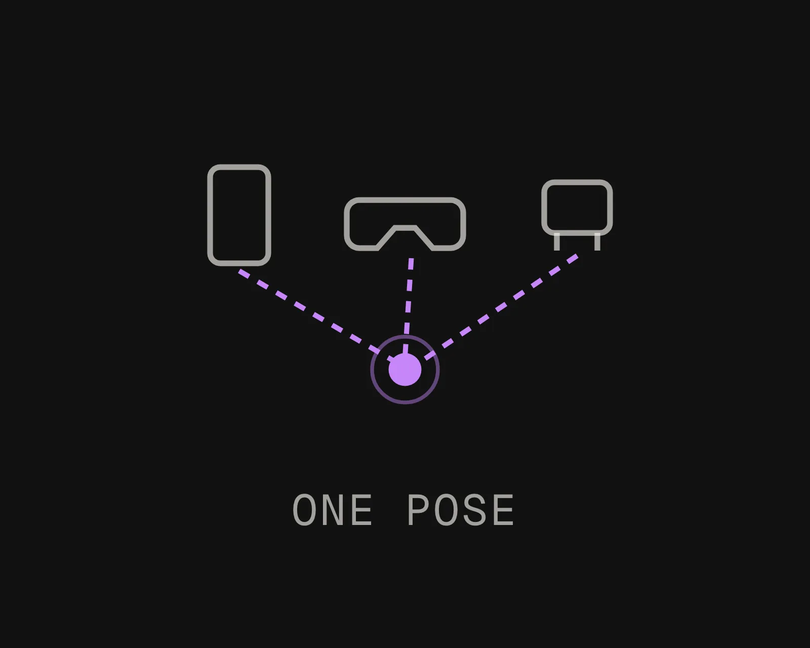
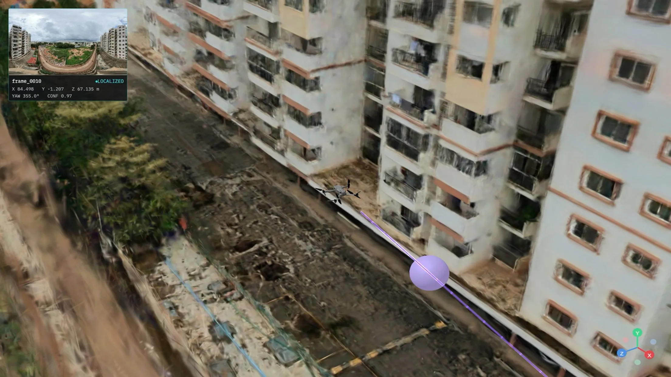
The output is an absolute position, not a reconstruction to review afterwards. Aircraft, phones, headsets and robots resolve 6-DoF pose against it.

Fly It. Upload It. Localize It.

MultiSet accepts drone capture as a native VPS input, including 360 video flown on the aircraft. One flight produces the map.

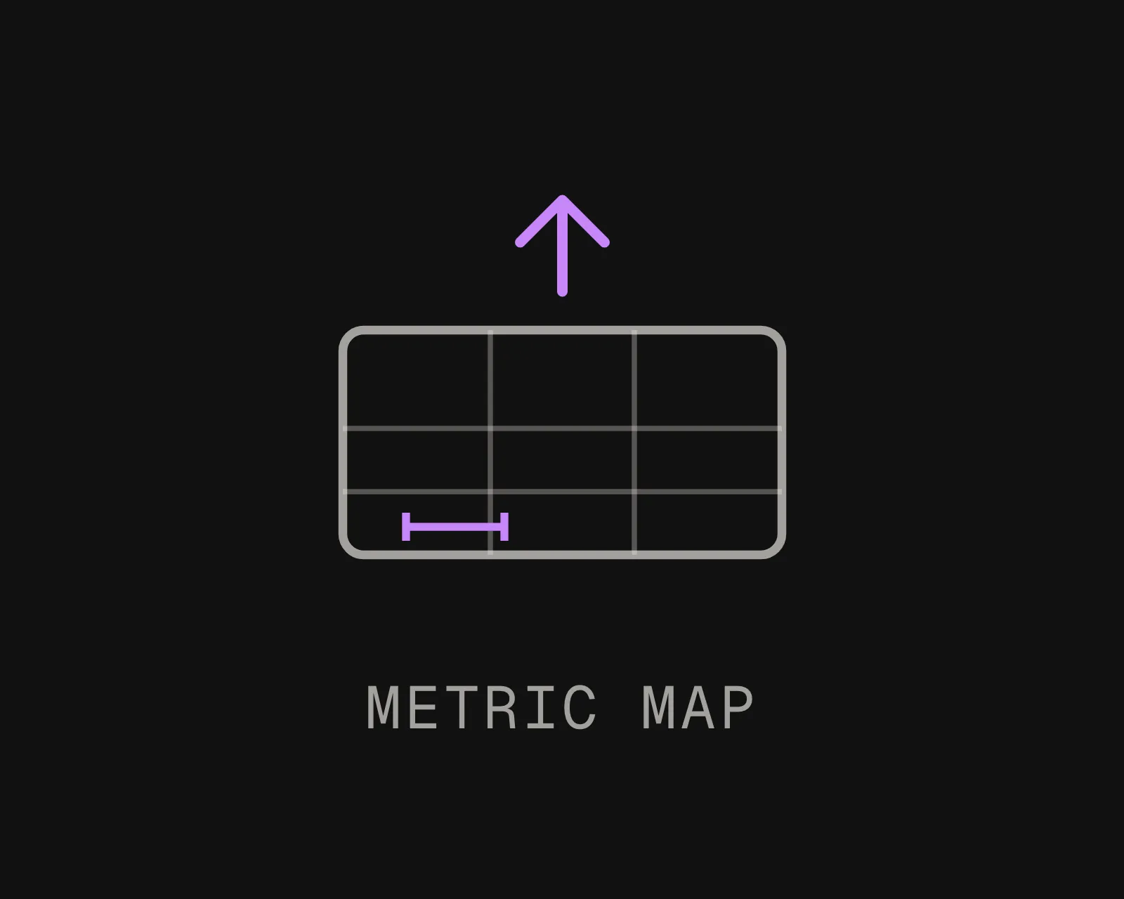
MultiSet scales and reconstructs it into a 6-DoF localization map, with no separate photogrammetry pipeline in between.
Insta360 & MultiSet AI Visual Positioning System
The aircraft that captures the map does not have to be the one that uses it
The map is a property of the site, not of the platform that flew it. Capture once with whatever airframe is convenient, then any camera-equipped aircraft, handset or headset queries the same map afterwards. A 360 camera flown on a drone, including AntiGravity, produces the same equirectangular video MultiSet already ingests from a handheld walkthrough.

Supported inputs: 360 video, equirectangular MP4, single panorama, point clouds
Flight stacks:

- ArduPilot and PX4: pose as an external position estimate
- RTK control points georeference the map, they do not compete with it

From One Flight to AR, Robotics, and Spatial AI in Three Steps

MultiSet 360 video to VPS: a handheld 360 camera scanning a warehouse aisle into a spatial point cloud
Fly
One steady pass over the area, or through it where the structure is enclosed. A 360 payload removes the aiming problem entirely: you choose the flight path, not where the camera points.
MultiSet 360 video to VPS: raw 360 capture processing into a centimeter-accurate localization map
Upload
Log into the MultiSet Developer Portal. Select your input type, choose indoor or outdoor, and drop in the footage. Stitching and scale are handled for you. Processing begins immediately.
MultiSet 360 video to VPS: phones, AR glasses and robots localize with 6-DoF pose on a warehouse map
Localize & Build
Your VPS map is live. Aircraft, phones, headsets and robots resolve 6-DoF pose against it via REST API. Scale across zones and buildings with MapSet, and keep versions current as the site changes.

Why Drones Need an Absolute Fix, Not a Better Receiver

GNSS Fails Confidently, Not Cleanly

Under a deck, between tanks, inside a vessel or close against a structure, the receiver rarely goes silent. It reports a position that exists and is wrong, sometimes by tens of metres. That is more dangerous than no fix, and no amount of receiver quality solves it.
Inertial Coasting Runs Out

Position is the double integral of acceleration, so a small constant bias becomes an error growing with the square of elapsed time. Seconds are fine. Minutes are not. A visual fix resets the accumulated error to the accuracy of that fix rather than to the accuracy of the estimate.
One Map, Air and Ground

The flight that captures the site also serves the technician who walks it next week and the robot that works it after that. Everyone resolves into one coordinate frame instead of three systems that disagree.
No Ground Infrastructure

Nothing gets mounted, powered or surveyed on the asset. On a classified or hard-to-access site that is the difference between a project and a permit queue, because every powered device inside the area becomes its own approval.
Your Cloud or Ours

Run on MultiSet's public cloud, your private VPC, self-hosted on-prem, or fully on-device. Data is encrypted in transit and at rest, with enterprise identity and audit controls.
Campus-Scale with MapSet

Stitch flights across zones, decks and buildings into one MapSet, and mix them with your Matterport, NavVis, Leica, FARO and handheld 360 scans in a single coordinate system. Aircraft and people localize continuously as they move between areas, with no manual transitions and no drift.

From the Same Flight: Survey Deliverable VPS Localization Map

Drone survey turns a flight into an orthomosaic or model you measure and report against. MultiSet turns the same flight into a localization map aircraft and devices query in real time. Different output, different job, and many teams run both.
Pilot Project
CAPABILITY
A 3D model / digital twin
A MultiSet VPS map
What it produces
A viewable 3D model, mesh, or digital twin of the space
A 6-DoF localization map devices query for their exact position
Primary job
Document, visualize, measure, and plan the space
Position phones, headsets, robots, and agents in the space, live
Who consumes it
People reviewing the space on a screen
Devices on site, resolving where they are to centimeters
On site
Revisited later in a browser or viewer
Localizes on device in under 1500 ms, on-prem or offline
Capture sources
Often tied to one capture type or platform
Scan-agnostic: drone 360, handheld 360, Matterport, NavVis, Leica, FARO, and 3DGS in one map
Where it fits
Captures and documents reality
Makes that same reality queryable for AR, robotics, and spatial AI
Frequently asked questions
Can a drone flight become a VPS map?

Yes. Upload the footage from one flight and MultiSet builds a 6-DoF localization map. Aircraft, phones, headsets and robots then query it for their exact position and orientation, rather than reviewing a model after the fact.

How does a drone localize where GPS is denied?

By recognising where it is from the camera, against a map that already exists. Under a deck, between tanks or inside a vessel, GNSS rarely goes silent; it reports a position that is confidently wrong. An absolute visual fix is independent of that, and it resets accumulated inertial drift to the accuracy of the fix rather than the accuracy of the estimate.

Does it work with ArduPilot and PX4?

Yes. Both consume the pose as an external position estimate alongside their own state, so the VPS supplies the absolute fix and the flight controller keeps doing what it already does well. Every response carries a confidence value and the integration should gate on it rather than applying every pose.

What about RTK and survey control points?

They georeference the map rather than competing with it. Control points fix the map to the world, and the VPS fixes the aircraft to the map. Where a site is already surveyed, that work carries through instead of being redone.

Which drones and cameras are supported?

The input is the footage rather than the airframe, so the choice of aircraft stays yours. A 360 camera flown on a drone, including AntiGravity, produces the same equirectangular video MultiSet ingests from a handheld walkthrough. Single-panorama localization is supported as well, shipped in v2.3.0.

How accurate is VPS from a drone capture?

Sub-5 cm median, with pose resolved in under 1500 ms. Accuracy holds through changing light and moving equipment, because matching is against the structure of the site rather than against what is sitting in it.

Can the same map serve people on the ground?

That is the strongest reason to fly it. The technician who walks the site next week and the robot that works it after that query the same map in the same coordinate frame. One capture, and air, ground and content stop disagreeing about where things are.