Retail Planogram Compliance & Spatial Commerce
Position Without a Satellite, Without a Beacon Grid

Assured PNT and GPS-Denied Operations

Centimeter-accurate position where GNSS does not reach and infrastructure cannot be installed. Basements, hulls, tunnels and contested airspace share one problem, and cameras are in scope for alternative PNT.
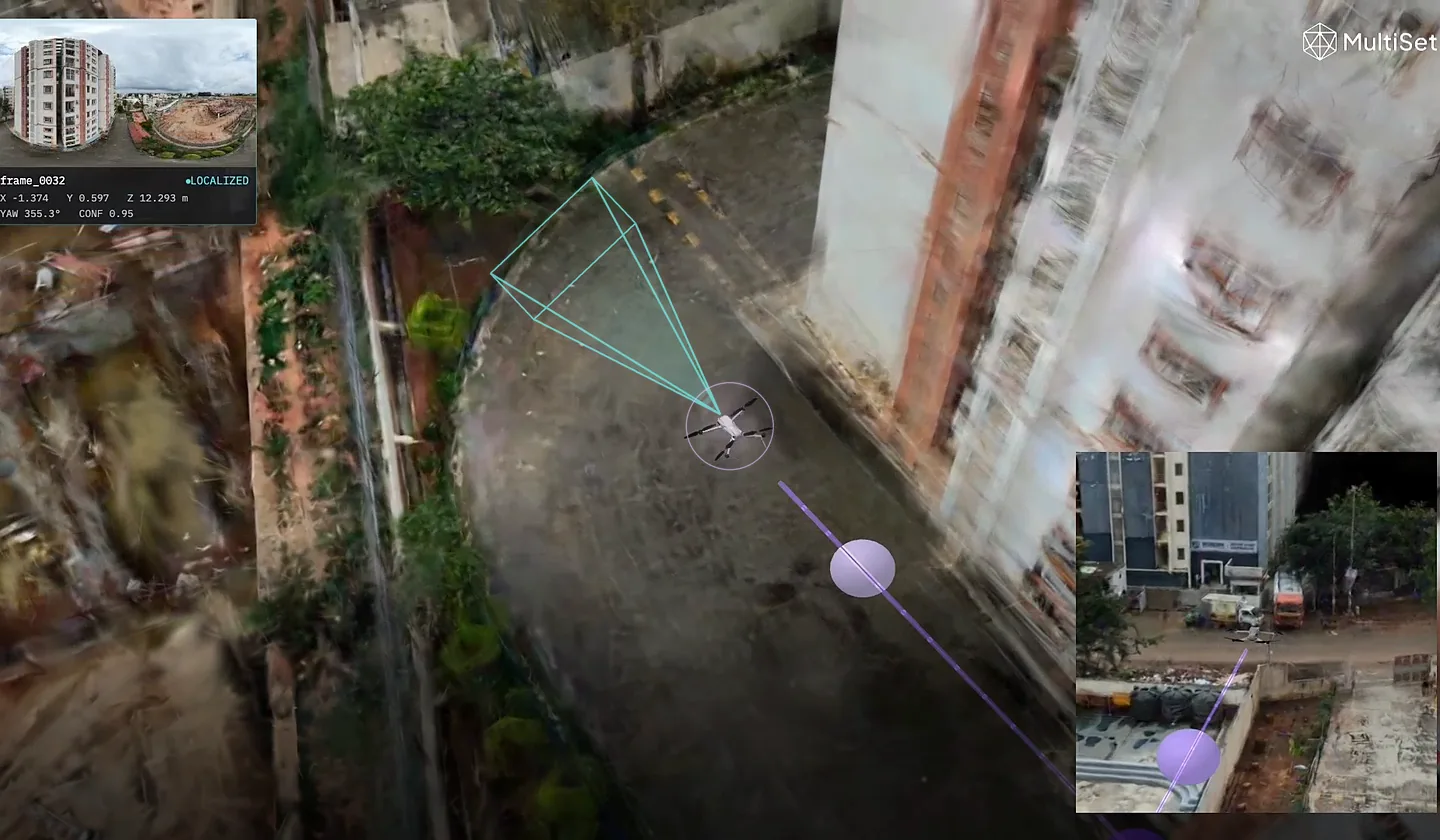
No Satellite Needed
Camera-based position where GNSS is blocked, jammed or spoofed.
No Infrastructure
No tags, anchors or beacon grid to install or maintain.
Air-Gapped Deployment
On-prem, disconnected and on-device options by default.
Any Capture Source
E57, LiDAR, drone, 360 and phone scans into one map.
What is “Assured PNT and GPS-Denied Operations”?
Alternative PNT is the formal name for positioning that does not depend on a satellite, and cameras sit inside its definition alongside terrain, magnetic and inertial methods. The problem is the same in a basement, a hull, a tunnel and contested airspace. GNSS is absent or untrustworthy and there is no way to install a beacon grid. MultiSet localizes from the scene itself, with nothing mounted and nothing transmitting.
Contact Us
Benefits & Measurable Impact
Resilient Position
Holds when GNSS is blocked, degraded, jammed or spoofed.
Nothing to Install
Resolve 6-DoF pose from the camera alone, disconnected if needed.
Runs Disconnected
Combine with inertial and other aids; hold position through GNSS loss.

Who it’s for

Built for teams operating where GNSS does not reach and infrastructure cannot be installed.
Indoor Drones
Confined Space Inspection
Critical Infrastructure
Defence & Government
Maritime & Subsea
Tunnels & Underground
How it works
Map the Space
Import an existing scan or capture the zone; no survey infrastructure required.
Localize On Device
Resolve 6-DoF pose from the camera alone, disconnected if needed.
Fuse & Operate
Combine with inertial and other aids; hold position through GNSS loss.