Positioning That Keeps Up With the Mine

Any camera on a vehicle or a person locates in full 3D on the scans your mine already holds. Positions land in your control room's own view, and the map keeps up with the face.

Underground Positioning for Vehicles and People

One coordinate frame from the portal to the face
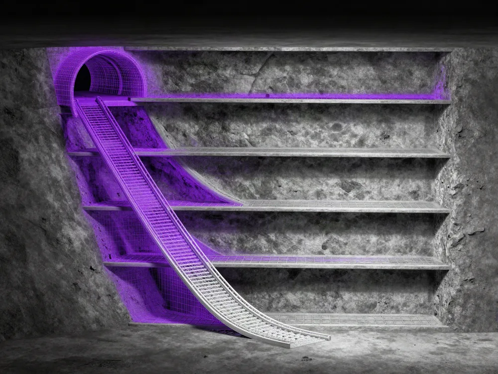
Every level of the decline in one map, the spiral ramp included.
Built from the scans survey already takes.
Position and heading every few seconds, and the map grows with the fleet's own images.
Our cloud, your server room or the device, on the same API.
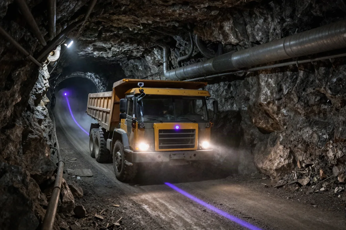
Illustration of a haul truck driving down a spiral decline, its position marked on the road and the path it drove traced behind it.
Why positioning lags the development

Positioning grows out of the radio network. Every access point, reader and anchor is powered, cabled and carried forward by hand each time a heading advances.
The Gap Between the Mine Plan and the Face

Survey scans the mine every month, and positioning still waits for the cable crew.
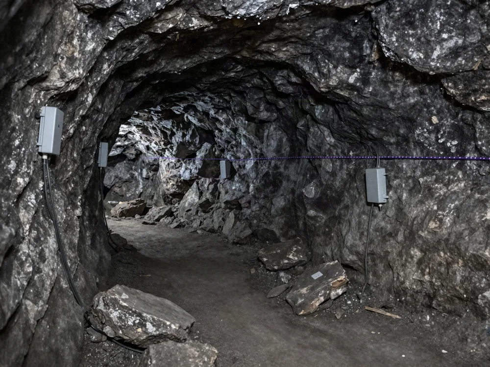
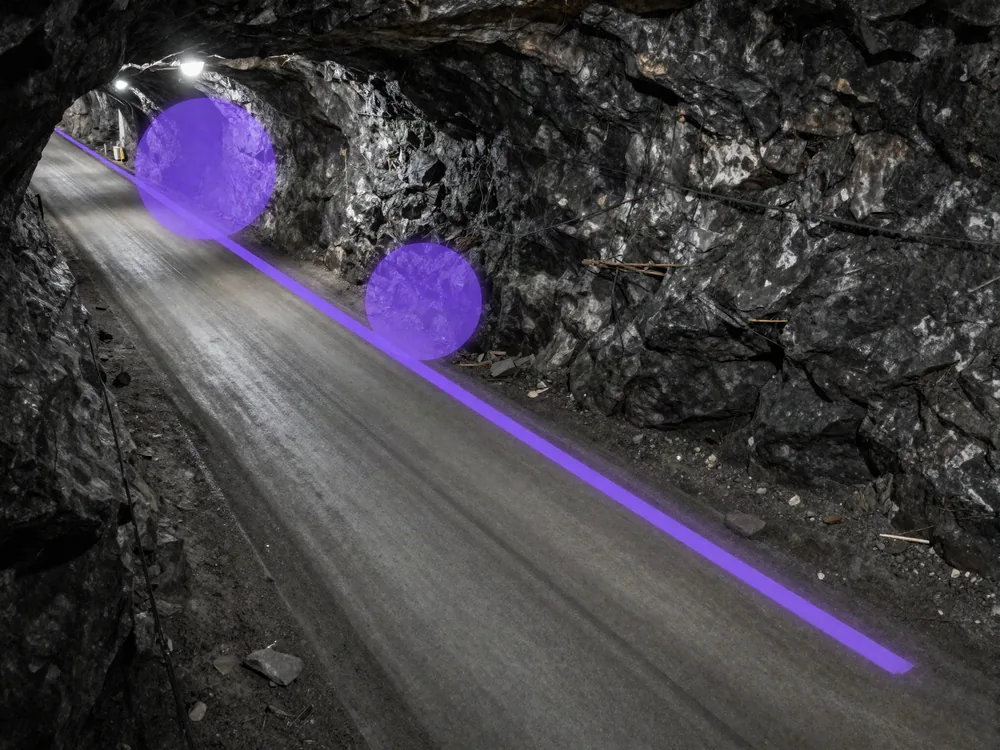
Illustration of a mine drift with access points along the walls and a gap in coverage. Illustration of a vehicle's position jumping between far-apart access-point zones on a ramp, beside a continuous camera track. Illustration of a mine cutaway with only some levels mapped.

The network trails the face

Accuracy only improves with more hardware in the drift, so the newest headings, where the work is, have the least coverage. The vendors who sell those networks write that they lag the development.

Access-point fixes are too coarse for the ramp

Where positions come from access points, a vehicle jumps 50 m or more at a time. That's too coarse to see ramp speed, or who has reached which refuge.

Level-by-level maps leave the decline half covered

Many LiDAR fleet systems map one level at a time, which leaves a spiral decline half covered, and lidar on every vehicle is an expensive way to close the gap.

Vehicle and Personnel Positioning, Portal to Face

One map, and every position lands in the view you already run.
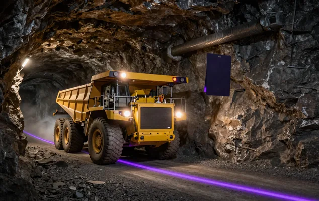
Illustration of a haul truck climbing a ramp with its tracked path on the road.
Traffic on the ramp
Speed, dwell and congestion per ramp section, from time-stamped fixes after every shift.
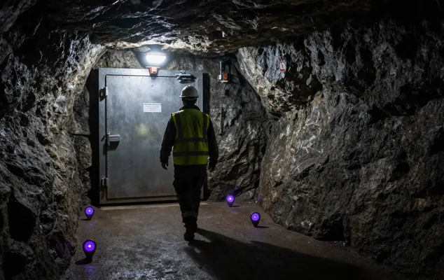
Illustration of a worker walking toward a refuge chamber, seen from behind, with location pins along the route.
People and shelters
The last position of anyone who hasn't reached a shelter yet, next to the count you already keep.
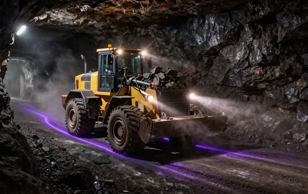
Illustration of a loader at a drawpoint with the loops it drove during the shift traced on the floor.
Machines through the shift
Where each loader, truck and service vehicle spent the shift, without a call over the radio.

Map Versioning for a Mine That Changes Every Shift

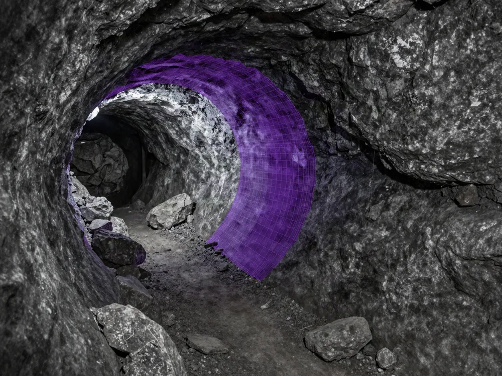
The fleet's own images extend the map into new drifts as the vehicles drive them, with several vehicles agreeing before anything changes. A re-scanned section goes live as a new map version, aligned to the original, with one API call to switch it on or roll it back.

Ingest

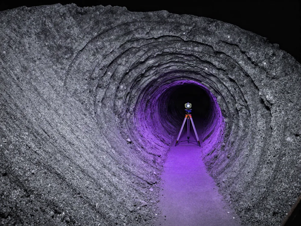
Build the map from the scans survey already takes. A point cloud without imagery needs one drive with a 360 camera, and a structured E57 export with its panoramas converts as it is, as the E57 to VPS guide shows. Large mines map in sections that join into one MapSet.

Localize

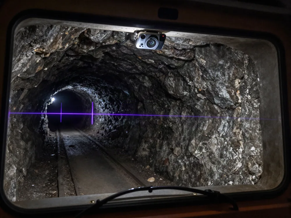
A windshield camera, a 360 camera on the roof, a phone or a body-worn camera at 640 x 480 or above becomes the tag. Each returns position and heading in mine coordinates, and the positions flow through a REST API into the dispatch or tracking view the control room already runs.

Stay true

Localized photos write back into the map at their pose, and a routine re-scan goes live as a new map version. Nobody re-surveys or re-installs anything after a blast, and changes go live daily, or sooner.
Illustration of a laser scanner on a tripod in a mine tunnel. Illustration of a windshield camera in a mine vehicle with a pose reticle on the tunnel ahead. Illustration of a newly advanced heading joining the existing map as a new section.

Scan-Agnostic Mine Localization, Built as Infrastructure

Scan-agnostic
Build the map from E57 with panoramas, 360 video, LiDAR point clouds or 3D Gaussian Splats. No proprietary scanner and no re-capture.
Cold-start localization
Absolute 6-DoF pose from a single camera frame on wake, on any level. No exploration run.
Any camera is the tag
Vehicles, phones and body-worn units at 640 x 480 or above. Nothing goes on the wall for positioning.
Built for a moving face
Re-scanned sections go live as map versions, and the fleet's images extend the map into new drifts.
Your map, your infrastructure
Public cloud, private cloud, self-hosted or fully on-device. In self-hosted and on-device modes, no maps, images or spatial queries leave your infrastructure.
Bounded drift
Periodic absolute fixes hold a vehicle's dead-reckoning drift inside a stated tolerance.
Every platform
ROS 2, REST APIs, Unity, iOS, Android, WebXR and headsets ship from the same map.

Cloud, Private Cloud and On-Device Positioning Underground

A mine plan is commercial information, and the network thins out at depth.

MultiSet runs in our cloud, a dedicated instance in your region, your own server room or private cloud, or on the device with the map stored offline.

On-device localization takes about 52 ms, with no call out of the mine.
Diagram showing private cloud, on-prem and on-device deployment connecting to one MultiSet core that serves warehouse, factory, construction, healthcare and tunnel environments

Radio Tracking and Camera Positioning Compared

Radio tags and anchorsCamera on your scan
What goes in the driftAccess points, readers, beacons or anchors, cabled and poweredNothing for positioning, a camera on each vehicle or person
As the face advancesHardware extended to each new headingRe-scans go live as map versions, and localized images keep the map current
LevelsDepends on coverageEvery level in one coordinate frame
What it returnsA zone, or metres where hardware is denseAn absolute position and heading every few seconds
Who it coversAnything carrying a tagAnything carrying a camera

For people on foot and assets without a camera, tags still do the job. Collision avoidance stays with the systems certified for it, and our positions sit beside them.

Related explainers: underground positioning compared and camera-based RTLS.

Above ground, the same map runs in process plants, as at a pharma plant and a brewery.

On the surface: visual positioning for oil and gas.

Mining VPS:
Frequently Asked Questions

One Map From the Portal to the Face