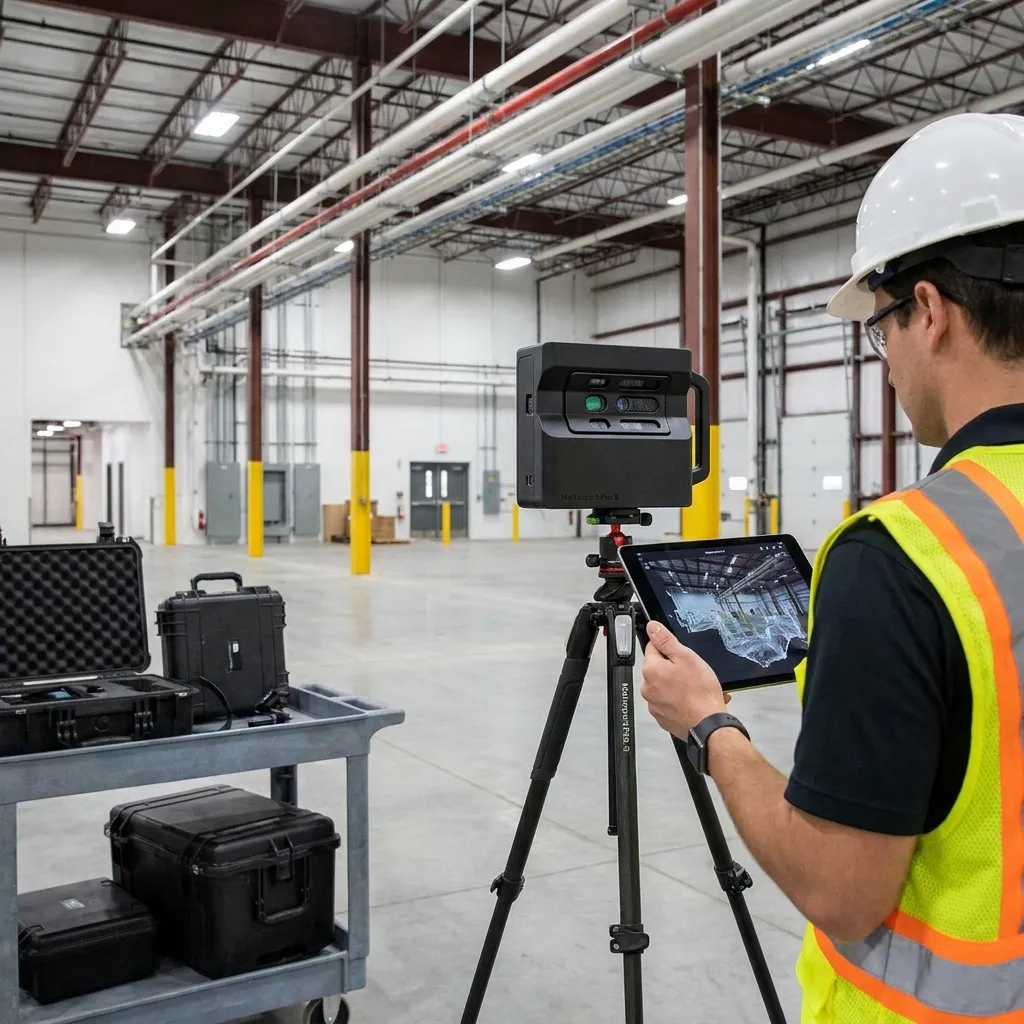
Digital visualization showing spatial computing for industrial space mapping with raw 360 video data transforming into interactive AR interface on a tablet.

Matterport to VPS: Turn a Matterport Scan into a Machine-Readable Localization Map

Use the scan you already paid for. No recapture, no proprietary pipeline.

Sub-5 cm median localization accuracy. Deploy anywhere.

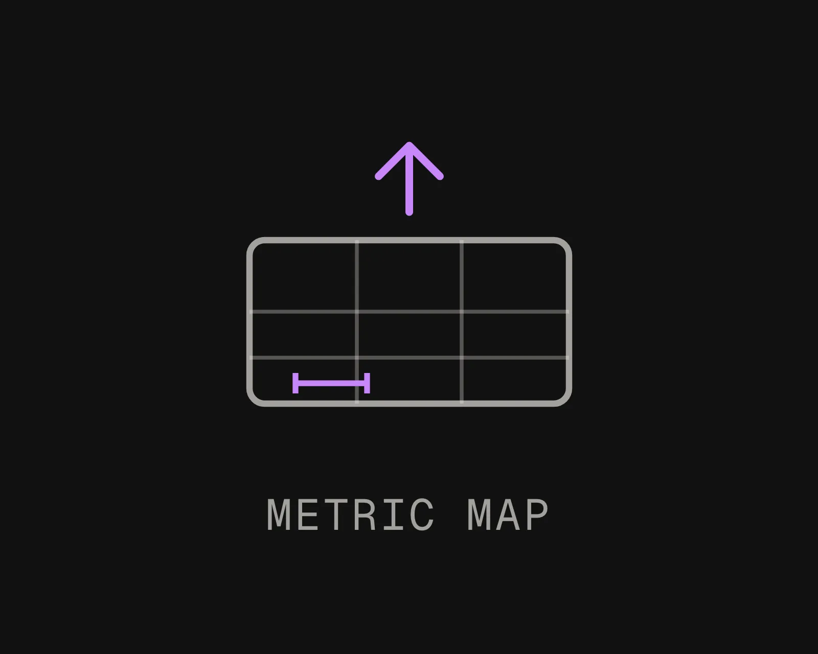
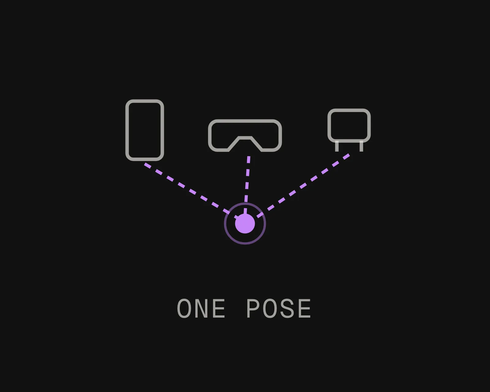
The output is a localization map, not a walkthrough. Phones, headsets, and robots resolve their 6-DoF pose against it.

Export It. Upload It. Localize It.

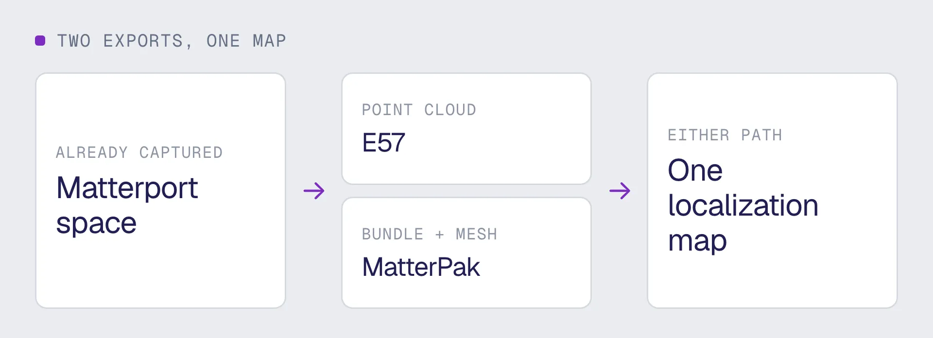
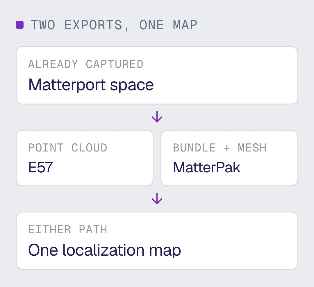
MultiSet accepts Matterport E57 and MatterPak as native VPS inputs. Export from a space you have already captured and upload it.

MultiSet scales and reconstructs it into a 6-DoF localization map, with no separate photogrammetry pipeline in between.

Insta360 & MultiSet AI Visual Positioning System
Both Matterport exports work, from any capture device
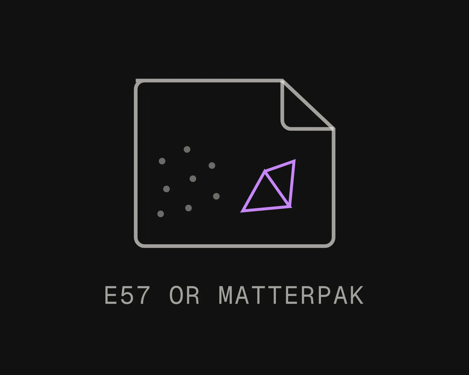
E57 carries the registered point cloud. MatterPak carries the bundle including the mesh. Either becomes a localization map, so you use whichever export your workflow already produces rather than buying a second one.

Supported exports: E57, MatterPak
Capture hardware:

- Pro3: LiDAR, indoor and outdoor
- Pro2 and phone capture: indoor

From Matterport Scan to AR, Robotics, and Spatial AI in Three Steps

MultiSet 360 video to VPS: a handheld 360 camera scanning a warehouse aisle into a spatial point cloud
Export
Open the space in Matterport and export E57 or MatterPak. If the building was scanned last year for a client walkthrough or an as-built record, this step costs nothing but the export itself.
MultiSet 360 video to VPS: raw 360 capture processing into a centimeter-accurate localization map
Upload
Log into the MultiSet Developer Portal. Select your input type, choose indoor or outdoor, and drop in the export. Scale and reconstruction are handled for you. Processing begins immediately.
MultiSet 360 video to VPS: phones, AR glasses and robots localize with 6-DoF pose on a warehouse map
Localize & Build
Your VPS map is live. Phones, headsets, robots, and spatial agents resolve 6-DoF pose against it via REST API. Scale across floors and buildings with MapSet, and keep versions and annotations current as the space changes.

Why Your Matterport Scan Is Already a VPS Map

No Recapture, No Rescan

The scan already exists. Most were commissioned for a client walkthrough or an as-built record and then filed. MultiSet ingests the same export directly, so the capture cost of a VPS deployment is zero and the project can start this week.
A Localization Map, Not Just a Model

A Matterport space is something people look at. A VPS map is something devices query. Phones, headsets, and robots resolve their 6-DoF pose against it to sub-5 cm, across Unity, iOS, Android, WebXR, Meta Quest, and ROS 2.
Either Export, Either Path

E57 and MatterPak both work as inputs. You are not forced into a specific export, a specific capture device, or a specific Matterport workflow to get a map out the other side.
Works With What You Already Own

No proprietary capture device and no MultiSet-specific scan workflow. If the building has been scanned once, that is the input. The capture decision stays yours across a deployment that will outlast at least one generation of scanning hardware.
Your Cloud or Ours

Run on MultiSet's public cloud, your private VPC, self-hosted on-prem, or fully on-device. Data is encrypted in transit and at rest, with enterprise identity and audit controls.
Campus-Scale with MapSet

Stitch Matterport maps from multiple floors and buildings into one MapSet, and mix them with your E57, LiDAR, 360 and Gaussian splat scans in a single coordinate system. Users localize continuously as they move between spaces, with no manual transitions and no drift.

From the Same Matterport Scan: Digital Twin VPS Localization Map

Matterport turns a capture into a space you view, measure, and document. MultiSet turns the same capture into a localization map your devices and robots query in real time. Different output, different job, and many teams run both.
Pilot Project
CAPABILITY
A 3D model / digital twin
A MultiSet VPS map
What it produces
A viewable 3D model, mesh, or digital twin of the space
A 6-DoF localization map devices query for their exact position
Primary job
Document, visualize, measure, and plan the space
Position phones, headsets, robots, and agents in the space, live
Who consumes it
People reviewing the space on a screen
Devices on site, resolving where they are to centimeters
On site
Revisited later in a browser or viewer
Localizes on device in under 1500 ms, on-prem or offline
Capture sources
Often tied to one capture type or platform
Scan-agnostic: Matterport, E57, LiDAR, 360 video, and 3DGS in one map
Where it fits
Captures and documents reality
Makes that same reality queryable for AR, robotics, and spatial AI
Frequently asked questions
Can you turn a Matterport scan into a VPS map?

Yes. Export E57 or MatterPak from your Matterport space and upload it. MultiSet builds a 6-DoF localization map that apps and robots query for their exact position, rather than a walkthrough to look at.

Which Matterport export should I use, E57 or MatterPak?

Either works. E57 is the registered point cloud and is the more common export. MatterPak is the bundle that includes the mesh. If your workflow already produces one of them, use that one rather than adding a second export step.

Do I need to rescan the space?

No, and that is the point. A space scanned last year becomes a localization map without anyone going back to the building. On live sites that matters more than cost, because booking a capture crew into an operating facility is a scheduling and access problem before it is a budget one.

Does it work with Pro3, Pro2 and phone captures?

Yes, because the input is the export rather than the device. Pro3 captures with LiDAR and covers indoor and outdoor. Pro2 and phone captures are indoor. Denser, better-lit captures produce better maps, but all three export into formats MultiSet accepts.

Can I combine a Matterport map with my other scans?

Yes. MapSet stitches maps from different capture types into one coordinate system. Mix Matterport, E57, LiDAR, 360 video and Gaussian splats across floors and buildings, and devices localize continuously across all of them.

How accurate is VPS from a Matterport scan?

Sub-5 cm median, with pose resolved in under 1500 ms. Accuracy holds through changing light and people moving through the space, because matching is against the structure of the room rather than against what is sitting in it.

How large a space can one Matterport scan cover?

A single Matterport space is bounded by how it was captured. There is no ceiling on total coverage: upload several spaces and stitch them into one continuous map with MapSet, mixing capture types across floors and buildings.