Digital visualization showing spatial computing for industrial space mapping with raw 360 video data transforming into interactive AR interface on a tablet.

NavVis to VPS: Turn a NavVis Capture into a Machine-Readable Localization Map

The capture pattern already produces what localization wants.

Sub-5 cm median localization accuracy. Deploy anywhere.

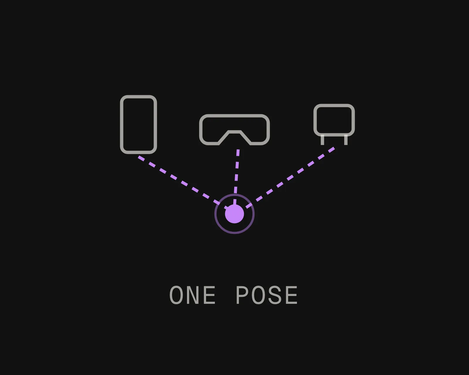
The output is a localization map, not a viewer. Phones, headsets, and robots resolve their 6-DoF pose against it.

Export It. Upload It. Localize It.

MultiSet accepts NavVis E57 exports as a native VPS input. Export from a site your team has already walked and upload it.

MultiSet reconstructs it into a 6-DoF localization map, with no separate photogrammetry pipeline in between.

Insta360 & MultiSet AI Visual Positioning System
Mobile mapping is close to an ideal localization input
NavVis systems capture continuously as the operator walks, rather than in discrete stations. That produces dense, evenly overlapped coverage along every route a person can take, which is exactly the geometry a camera later needs to recognise. Large multi-floor sites captured this way usually need no additional capture at all.

Supported export: E57 point cloud
Capture hardware:

- VLX and MLX: wearable, walk the route
- M6: trolley, large open floorplates

From NavVis Capture to AR, Robotics, and Spatial AI in Three Steps

MultiSet 360 video to VPS: a handheld 360 camera scanning a warehouse aisle into a spatial point cloud
Export
Export the registered point cloud as E57. If the site was captured for facilities management, BIM verification or a fit-out, the deliverable you already signed off is the input.
MultiSet 360 video to VPS: raw 360 capture processing into a centimeter-accurate localization map
Upload
Log into the MultiSet Developer Portal. Select E57 as your input type, choose indoor or outdoor, and drop in the export. Scale and reconstruction are handled for you. Processing begins immediately.
MultiSet 360 video to VPS: phones, AR glasses and robots localize with 6-DoF pose on a warehouse map
Localize & Build
Your VPS map is live. Phones, headsets, robots, and spatial agents resolve 6-DoF pose against it via REST API. Scale across floors and buildings with MapSet, and keep versions and annotations current as the space changes.

Why NavVis Captures Make Strong VPS Maps

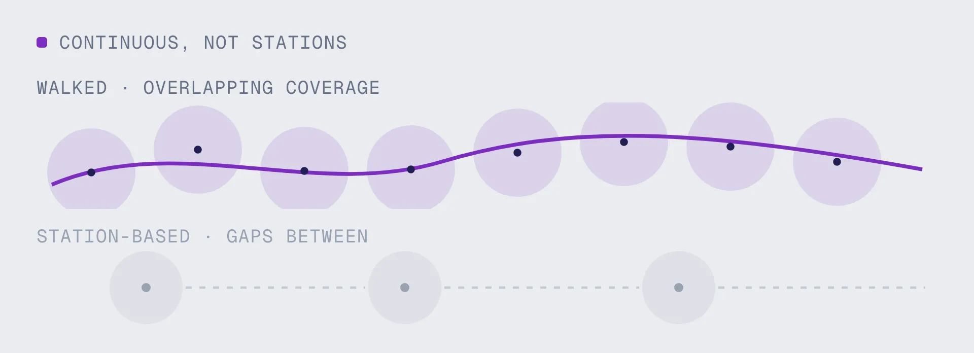
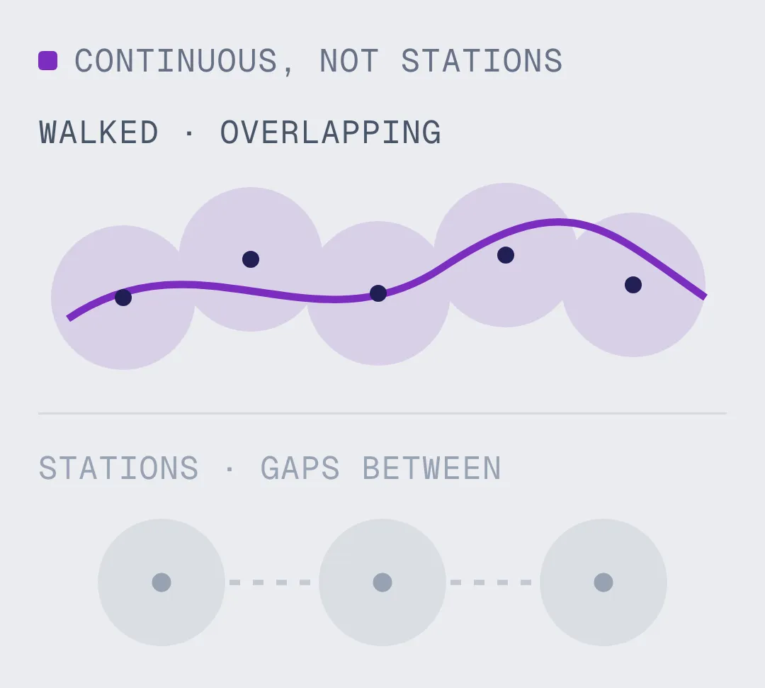
Continuous Coverage, Not Stations

Gaps between tripod stations are the most common cause of a map that localizes in some places and fails in others. A walked capture does not leave them, because coverage follows the route rather than a set of chosen viewpoints.
A Localization Map, Not Just a Model

A NavVis dataset is something people navigate and measure. A VPS map is something devices query. Phones, headsets, and robots resolve their 6-DoF pose against it to sub-5 cm, across Unity, iOS, Android, WebXR, Meta Quest, and ROS 2.
Built for Multi-Floor Sites

Mobile mapping is usually chosen because the site is too large for static scanning. Those are the same sites where localization is hardest and worth the most, and MapSet stitches floors and buildings into one coordinate frame.
Captured at Walking Height

Map at roughly the height the device will be used at. A wearable capture sits close to where a phone or a headset will later be held, which is one fewer mismatch between how the map was built and how it gets queried.
Your Cloud or Ours

Run on MultiSet's public cloud, your private VPC, self-hosted on-prem, or fully on-device. Data is encrypted in transit and at rest, with enterprise identity and audit controls.
Campus-Scale with MapSet

Stitch NavVis maps from multiple floors and buildings into one MapSet, and mix them with your Matterport, Leica, FARO, 360 and Gaussian splat scans in a single coordinate system. Users localize continuously as they move between spaces, with no manual transitions and no drift.

From the Same NavVis Capture: Digital Twin VPS Localization Map

NavVis turns a walk into a dataset you view, measure and document. MultiSet turns the same walk into a localization map your devices and robots query in real time. Different output, different job, and many teams run both.
Pilot Project
CAPABILITY
A 3D model / digital twin
A MultiSet VPS map
What it produces
A viewable 3D model, mesh, or digital twin of the space
A 6-DoF localization map devices query for their exact position
Primary job
Document, visualize, measure, and plan the space
Position phones, headsets, robots, and agents in the space, live
Who consumes it
People reviewing the space on a screen
Devices on site, resolving where they are to centimeters
On site
Revisited later in a browser or viewer
Localizes on device in under 1500 ms, on-prem or offline
Capture sources
Often tied to one capture type or platform
Scan-agnostic: NavVis, Matterport, Leica, FARO, 360 video, and 3DGS in one map
Where it fits
Captures and documents reality
Makes that same reality queryable for AR, robotics, and spatial AI
Frequently asked questions
Can you turn a NavVis scan into a VPS map?

Yes. Export the registered point cloud as E57 and upload it. MultiSet builds a 6-DoF localization map that apps and robots query for their exact position, rather than a dataset to view and measure.

Does it work with VLX, MLX and M6?

Yes, because the input is the E57 rather than the device. Wearable systems suit routes with stairs, doorways and tight plant; the trolley suits large open floorplates. Both produce the continuous overlap that localization wants.

Do I need to rescan the site?

No. A site walked last year for facilities management, BIM verification or a fit-out becomes a localization map without anyone going back. On operating sites that matters more than cost, because access and scheduling are the hard part, not the day rate.

Why do mobile mapping captures make good localization maps?

Because coverage follows the route rather than a set of chosen viewpoints. Gaps between tripod stations are the most common cause of a map that works in some places and fails in others, and they are invisible in a rendered preview. A walked capture does not leave them, and it is taken at roughly the height a phone or headset will later be held.

Can I combine a NavVis map with my other scans?

Yes. MapSet stitches maps from different capture types into one coordinate system. Mix NavVis, Matterport, Leica, FARO, 360 video and Gaussian splats across floors and buildings, and devices localize continuously across all of them.

How accurate is VPS from a NavVis scan?

Sub-5 cm median, with pose resolved in under 1500 ms. Accuracy holds through changing light and people moving through the space, because matching is against the structure of the building rather than against what is sitting in it.

How large a site can one capture cover?

There is no ceiling on total coverage. Mobile mapping is usually chosen precisely because the site is too large for static scanning, and MapSet stitches multiple captures into one continuous map across floors and buildings.