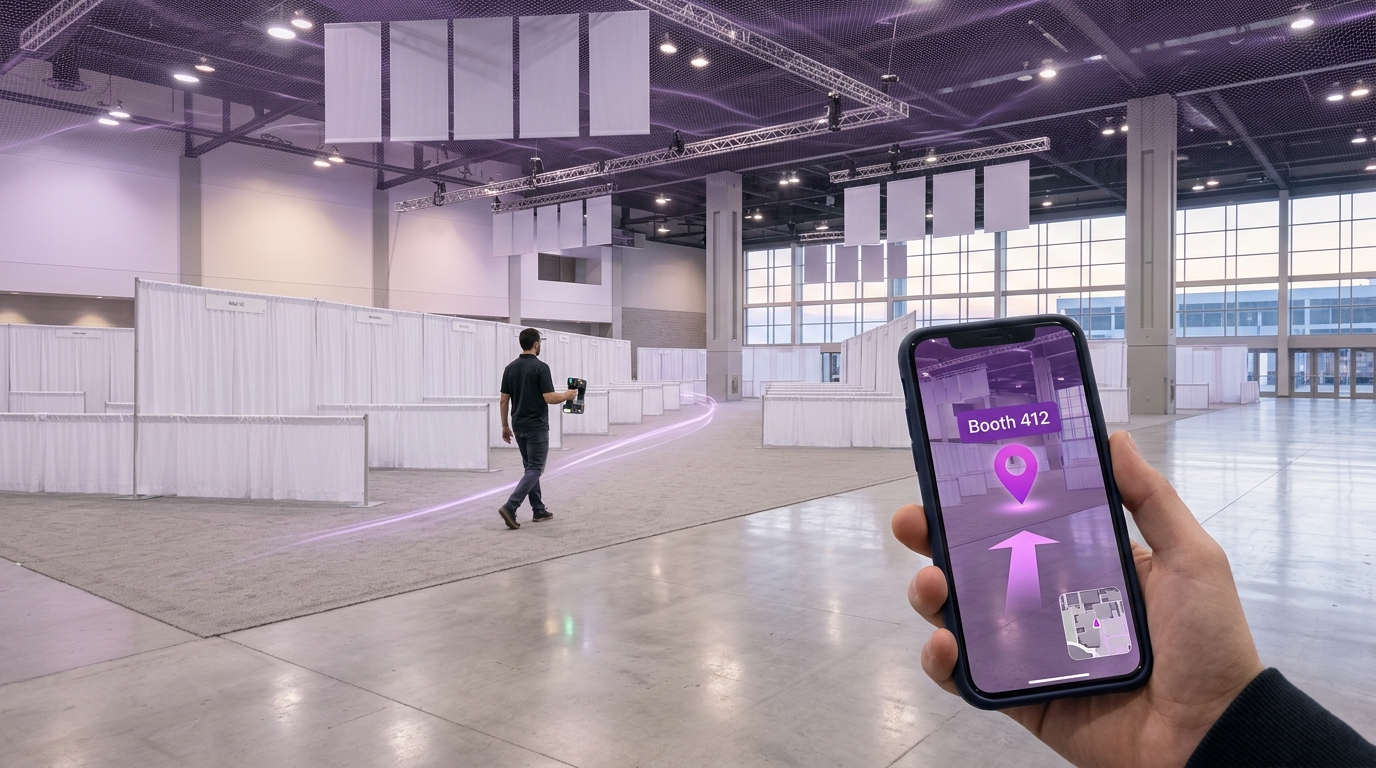
One overnight shift and one scanner pass, with no beacons, Wi-Fi anchors or custom app build. That's how a major North American venue turned an empty convention hall into an AR-navigable space before doors opened. MultiSet VPS handled localization, XGRIDS K1 the capture and Zappar Spaces the authoring, and every attendee's phone got indoor wayfinding with nothing left on the floor.
Trade shows, conferences, and large-format events share the same recurring pain points around on-site navigation.
Attendees miss sessions and miss vendor booths because they cannot orient themselves quickly inside large halls.
Exhibitors lose meeting time coordinating with invited visitors. A prospect arrives at the venue, messages the booth owner, and both sides spend ten or fifteen minutes on calls and "meet me near the coffee station" handoffs before the actual conversation can begin.
Sponsor activations and stage placements are difficult to surface to attendees who do not already know they exist.
Accessibility routes are rarely communicated visually, leaving attendees with mobility needs to ask staff for directions.
The typical fix is an SDK-based custom mobile app with beacons or Wi-Fi fingerprinting. It takes weeks of engineering, requires hardware deployment, and is rarely accurate enough for confident turn-by-turn guidance indoors.
This workflow replaces a multi-week engineering project with a four-step, off-the-shelf pipeline. The scanner captures, MultiSet localizes, and the authoring tool decorates. Because MultiSet handles the hard part, sub-meter indoor positioning on commodity phones, the rest of the stack stays light.
| Component | Role in the workflow |
|---|---|
| MultiSet VPS core | The Visual Positioning System at the heart of the stack. Ingests the scan, builds the localization map and textured mesh in roughly 1.5 hours of unattended compute, and serves on-device localization to attendee phones with centimeter-level accuracy. Map Versioning (rolling out) lets teams iterate the POI layer without re-scanning. |
| XGRIDS K1 | Handheld SLAM scanner used to capture a high-fidelity 3D point cloud of the venue in a single walkthrough. Feeds MultiSet VPS via the open E57 format. |
| Zappar Spaces | No-code authoring platform that consumes the textured mesh produced by MultiSet VPS to place points of interest, signage, arrows, and 3D wayfinding cues aligned to the venue. |
| Event Floor Plan | The source of truth for booth numbers, room names, stage locations, and accessible routes. Used as a reference layer when authoring POIs on top of the VPS map. |
Timeline reflects a real deployment in a 25,000 sq ft venue, executed by a single trained operator. Larger venues scale scanning time linearly. The pipeline structure does not change.
| # | Step | Time | What happens |
|---|---|---|---|
| 1 | Scan the site with XGRIDS K1 | 20 min | Walk the venue floor while the K1 captures a SLAM-based point cloud. One operator, no tripods, no targets. |
| 2 | Convert the scan to an E57 file | 1.5 hrs | Process the raw scan into the open E57 standard so it can be ingested by downstream tools. Largely automated. Runs in the background. |
| 3 | Generate the VPS using MultiSet | 1.5 hrs | Upload the E57 to MultiSet and trigger VPS generation. In about 1.5 hours of compute, MultiSet produces both the localization map (consumed by phones at runtime) and the textured mesh (consumed by Zappar Spaces for authoring). The linchpin step. Everything downstream depends on it, and it runs unattended so the operator can move on to floor-plan prep. |
| 4 | Author POIs in Zappar Spaces | 2 hrs | Drop pins for booths, stages, restrooms, and emergency exits. Add arrows, labels, and 3D content along the routes attendees will actually walk. |
| 5 | Publish and test the AR navigation | 30 min | Push the experience live, scan the QR or open the deep link on a phone, and validate localization accuracy and route clarity at key checkpoints. |
| Total wall-clock time | ≈ 5 hrs 50 min | Start after the last vendor leaves. Finish before doors open. | |
MultiSet VPS locks devices to the venue map in seconds, with accuracy that supports turn-by-turn arrows painted on the floor.
Because MultiSet localizes from camera frames alone, there are no beacons to deploy, no anchors to maintain, and no QR-code wallpaper. Attendees open a link and start navigating.
Booth owners share a deep link that drops invited visitors directly into AR navigation pointed at their booth. The "I'm here, where are you?" round-trip disappears.
If a booth moves at 7am, an organizer drags the POI in Zappar Spaces against the existing MultiSet map and republishes. No app store cycle.
Each show still needs a fresh scan, because the same hall looks visually different once booths, drape, and signage are in place. But Map Versioning lets the base scan be re-opened to edit and republish the POI layer without redoing capture.
Map Versioning treats the MultiSet VPS map as a living asset rather than a one-shot artifact. Once a venue has been scanned and a base map has been published, organizers can re-open that map, edit the POI layer on top of it, and republish, without re-capturing the venue, re-running E57 conversion, or re-running VPS generation. The localization geometry stays exactly as it was. Only the content layer changes.
In practice, this turns the most expensive parts of the original overnight pipeline into one-time costs amortized across every subsequent show, refresh, or last-minute floor change. What remains is the work that actually changes between events: dropping pins, updating signage, validating routes.

