Locate people, vehicles, robots and drones against one map built from the scans you already hold, with a fresh fix every few seconds. Every camera becomes the tag, and nothing goes on the ceiling.
Camera-based RTLS works out where a device is from what its camera sees, matched against a 3D map of the site. A real-time location system answers one question for a site: where is everything right now. Tag-and-anchor systems answer it with radio timing between a tag on the asset and anchors on the ceiling, and most of their budget goes into installing that grid.
MultiSet answers it with vision. A device sends a frame, and the visual positioning system returns its position and heading in the site's coordinates. For the cost comparison against UWB and BLE, read vision-based RTLS, the third architecture. For every way to position indoors, see indoor positioning technologies.
Locate puts every camera-carrying person, vehicle, robot or drone on the site's own scan, a few seconds behind the moment, for a management view and traffic analysis. Guide uses the same fix to take a worker to the asset and show the work order on it. One map pays for both jobs.
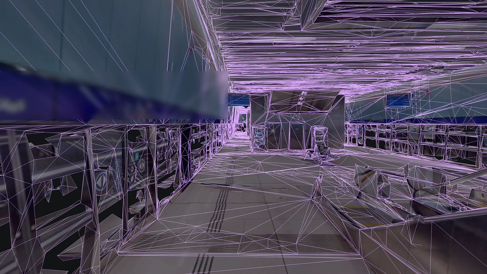
Every position and heading arrives in the same coordinate frame.
Locate puts every device on one view, with its recent path, refreshed every few seconds. Guide uses the same fix to route the phone to Platform 2 and open what belongs there.
Illustration over a partner's map, shown without its name. Positions are examples.
Drones inside buildings, technicians in process plants and robots on the floor beside them all localize this way now.
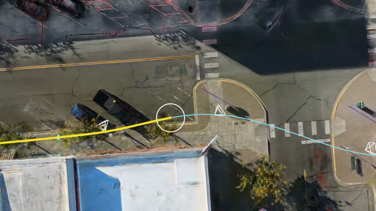
Mithril Defense tracks drones that fly into buildings, where GPS drops out at the door. Each drone localizes from its own camera, so nothing is installed inside.
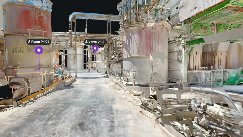
One pharmaceutical plant cut its valve search time 2.5x, across more than 7,000 tagged valves, with phones routed by the map.
Read the case study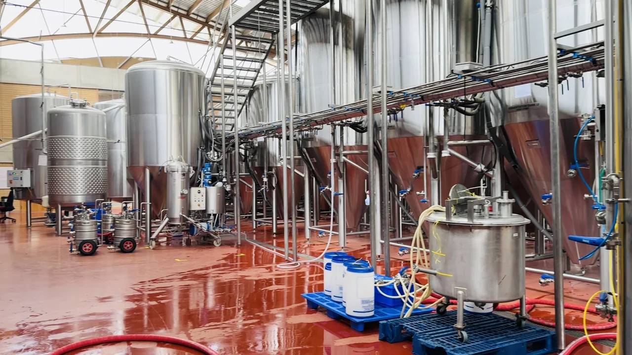
Phones and smart glasses route staff to vessels, skids and pumps, with readings shown on the equipment.
Read the case study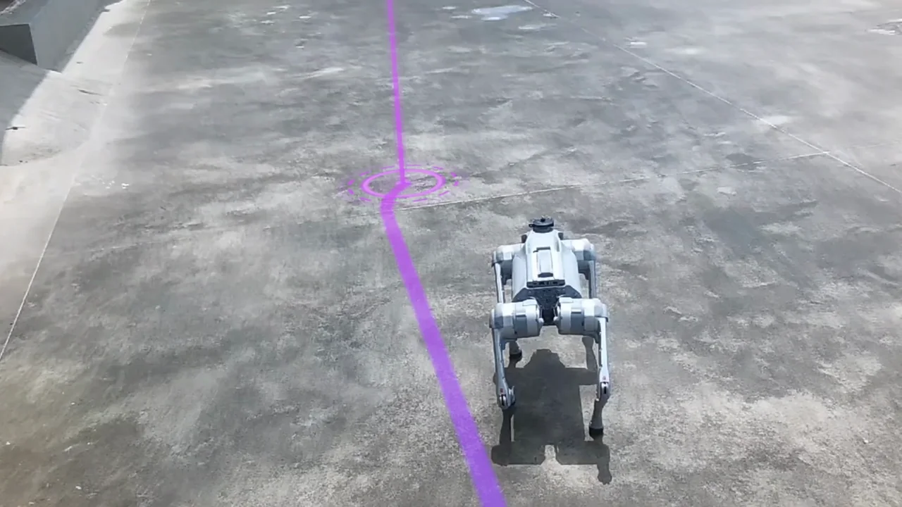
Quadruped robots localize against the map the people beside them use, through our robot adapter.
Sites change every week, and in a mine every shift. Images that devices localize with are written back into the map at their pose, and a changed area becomes a new map version aligned to the original, so content and routes keep their coordinates. Large sites are mapped in sections that join into one MapSet. See map versioning.
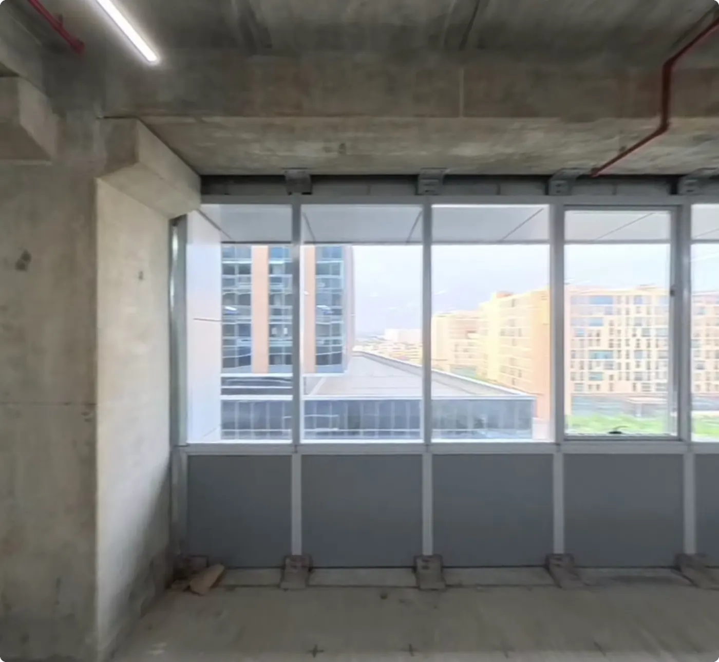
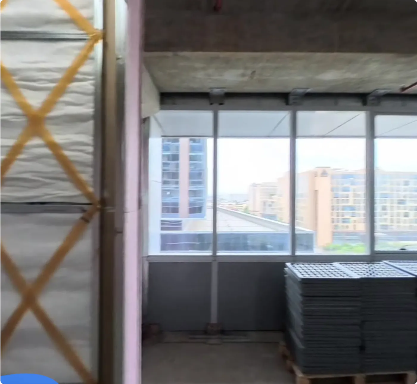
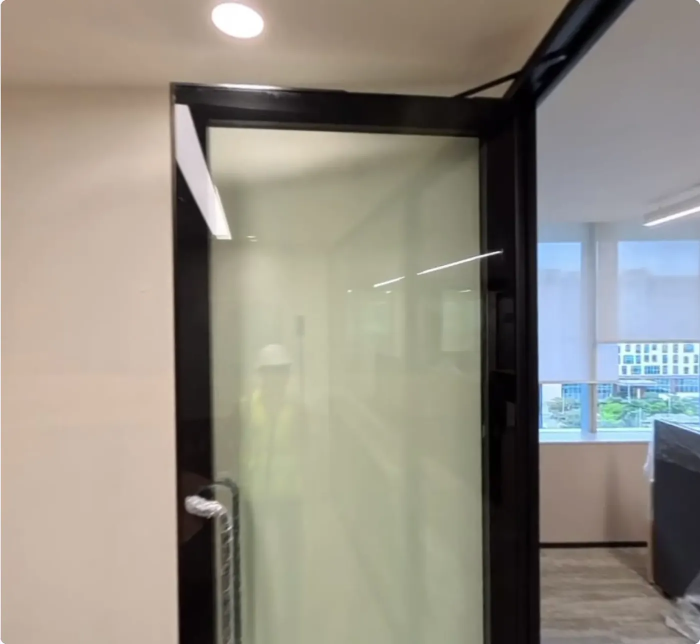
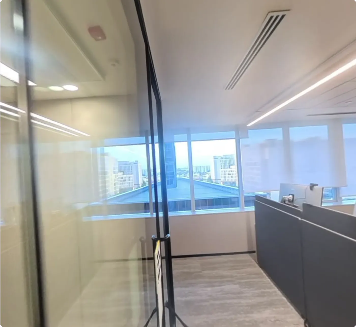
The same viewpoint in four versions of one map, from bare concrete to a finished office. Content placed in May keeps its coordinates in every later version, so nobody re-places it after a re-scan.
Separate scans each start from their own origin. MapSet joins them into one coordinate frame, so a device walks from one floor to the next, or out into the yard, without starting over.
Assets with no camera. A pallet or a hand tool needs a tag. Most sites run both, with vision covering people, vehicles and robots.
Dark zones. With no light, a camera has nothing to match. Cover those areas with radio or leave them out.
Areas where filming is banned. Security zones that prohibit cameras stay with tags or with presence readers at the door.
Both have a place on most sites. The question is which one carries each job.


