Spatial Ground Truth for the Jobsite

A site datum built from reality capture the project already owns. Every device resolves against it, so the model holds at 1:1 while the user walks. Nothing installed in the building.

XR and BIM Overlay on the Jobsite

One frame for the model, the record and the photo.
Position and orientation, so the model lands on the building and not near it.
Built from the scan the project already owns. Nothing installed on site.
Holds while walking, corrected against the map rather than dead reckoned.
Integrates behind your existing interface, on the same API.
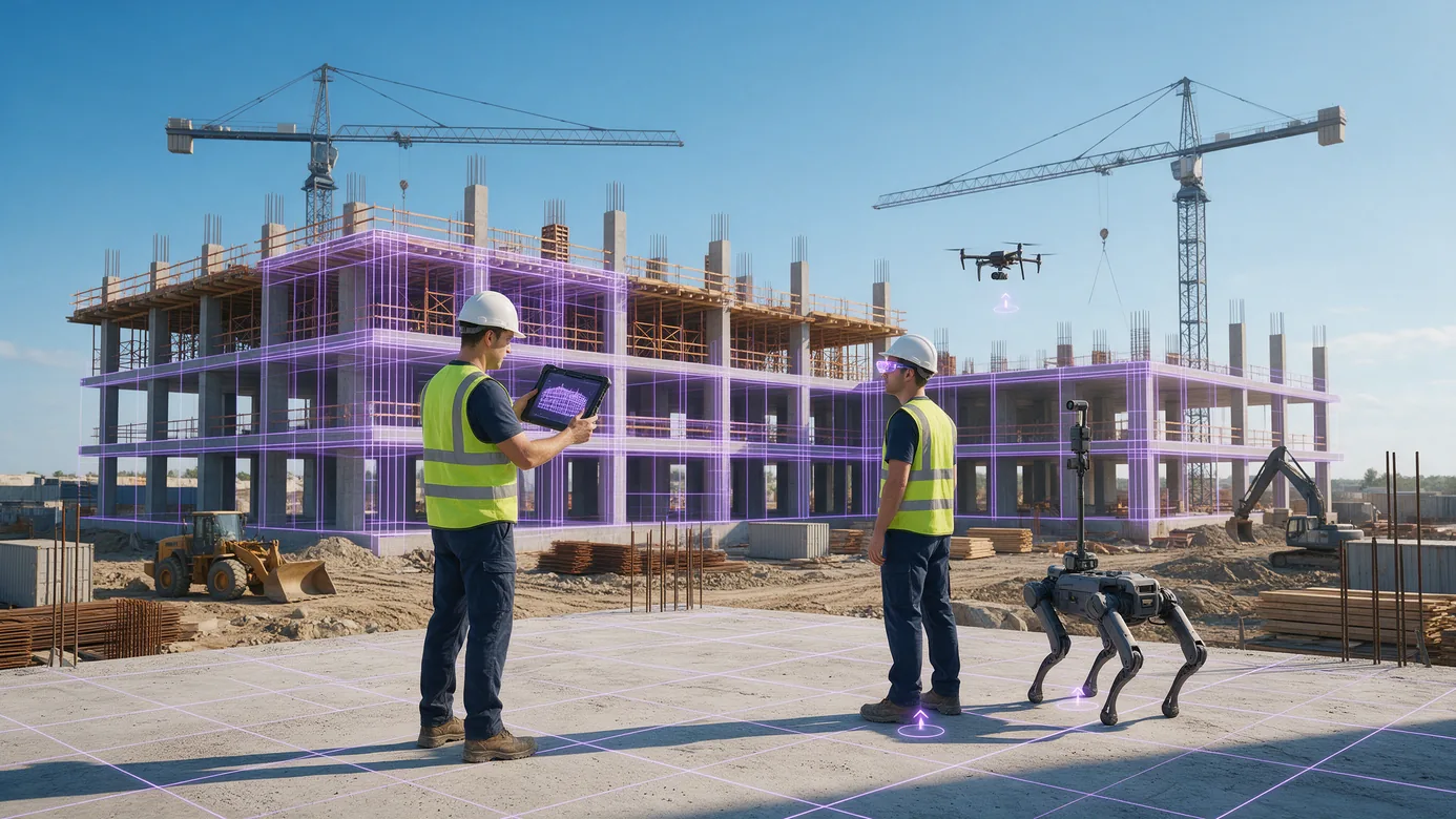
A large construction site in daylight where a worker holds a tablet showing the building model lined up with the real structure, a second worker wears AR glasses, a walking robot and a drone work alongside them, and a violet wireframe wraps the building's columns and slabs with position markers on the deck below
Why the overlay drifts

A model that is not at true position is a picture, not a check. Not roughly the right wall, but the exact position and orientation, held while the user walks.
Model and Field Out of Alignment

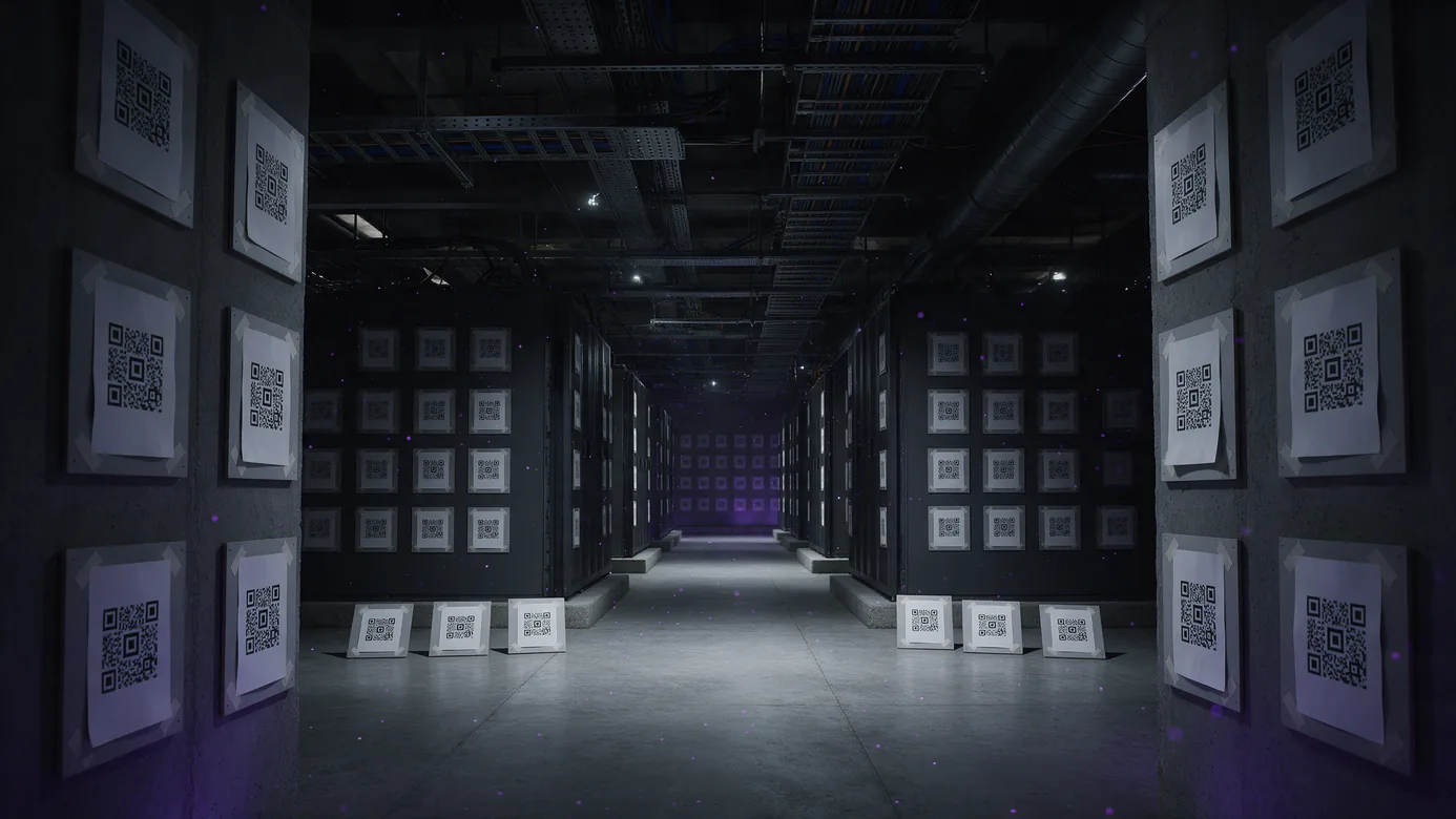
Position is solved with printed codes, and the codes do not survive the job.
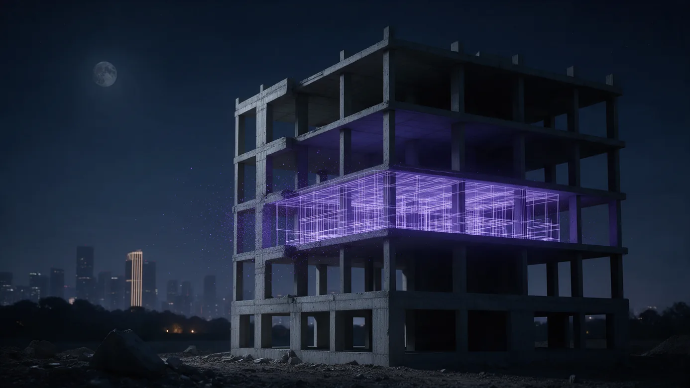
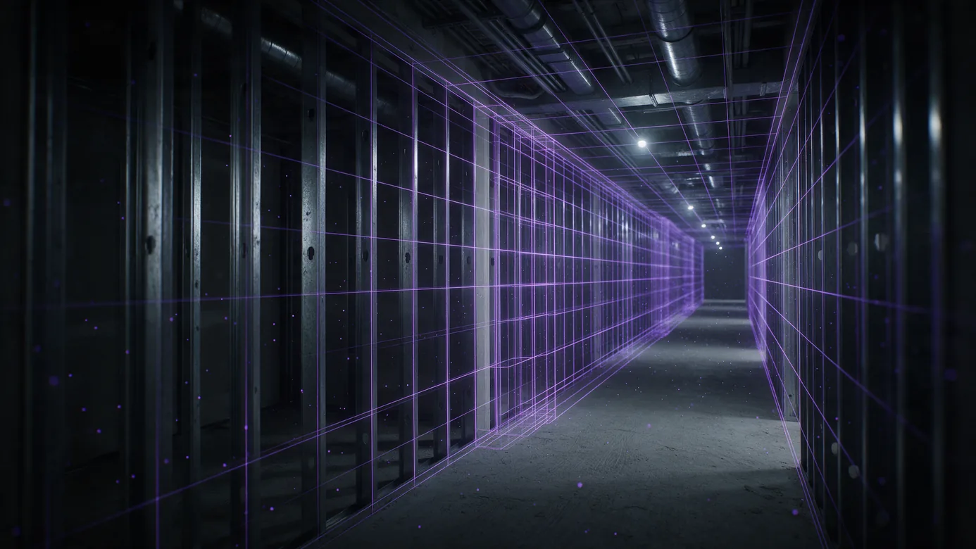
A data centre hall under construction with hundreds of printed square fiducial markers taped in a grid across the walls, cabinet ends and floor, receding down the hall A construction corridor where a wireframe overlay of the same corridor sits out of register with the real structure, drifting further out of alignment into the distance A multi-storey building under construction at night with a single middle floor lit and modelled, every other floor left dark

Marker control is a mobilization, not a setup.

A 100,000 sq ft floor at 10 ft spacing means 1,000 printed codes: 8.3 field crew days before anyone views a model, plus 20 hours of layout. Then codes get painted over, buried behind drywall and pulled off as trades move through, and every loss sends someone back to the floor.

A marker is accurate at the marker and nowhere else.

Device tracking drifts as the user walks. Published scaling error runs as high as 14.4 cm per metre, about a metre and a half inside the first 10. For in-wall coordination that is already unusable, and the only recovery is walking back to a code.

Coverage becomes a budget decision.

Setup scales with floor area, so most projects light up one showcase floor and leave the rest of the building dark. The model is only useful where someone paid to make it useful.

BIM Overlay, Progress Verification and Positioned Photography

One map, and every record knows where it was made.
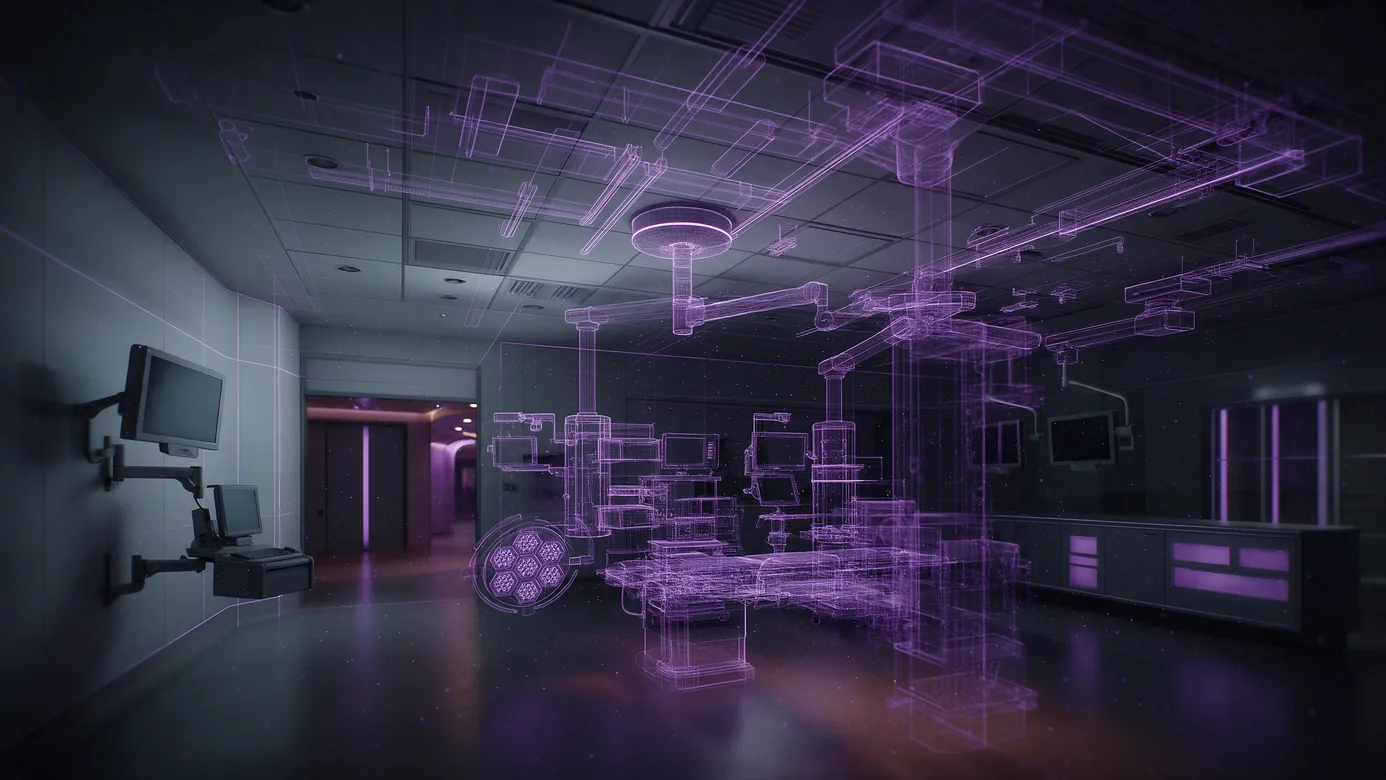
A finished hybrid operating room with surgical booms and ceiling grid installed, with several discipline models overlaid in place revealing the conduit and ductwork above the finished panels
BIM Overlay at True Position
Load discipline models into one session and hold them anchored while the user walks. The device re-queries position and corrects continuously, so the overlay stays on the wall.
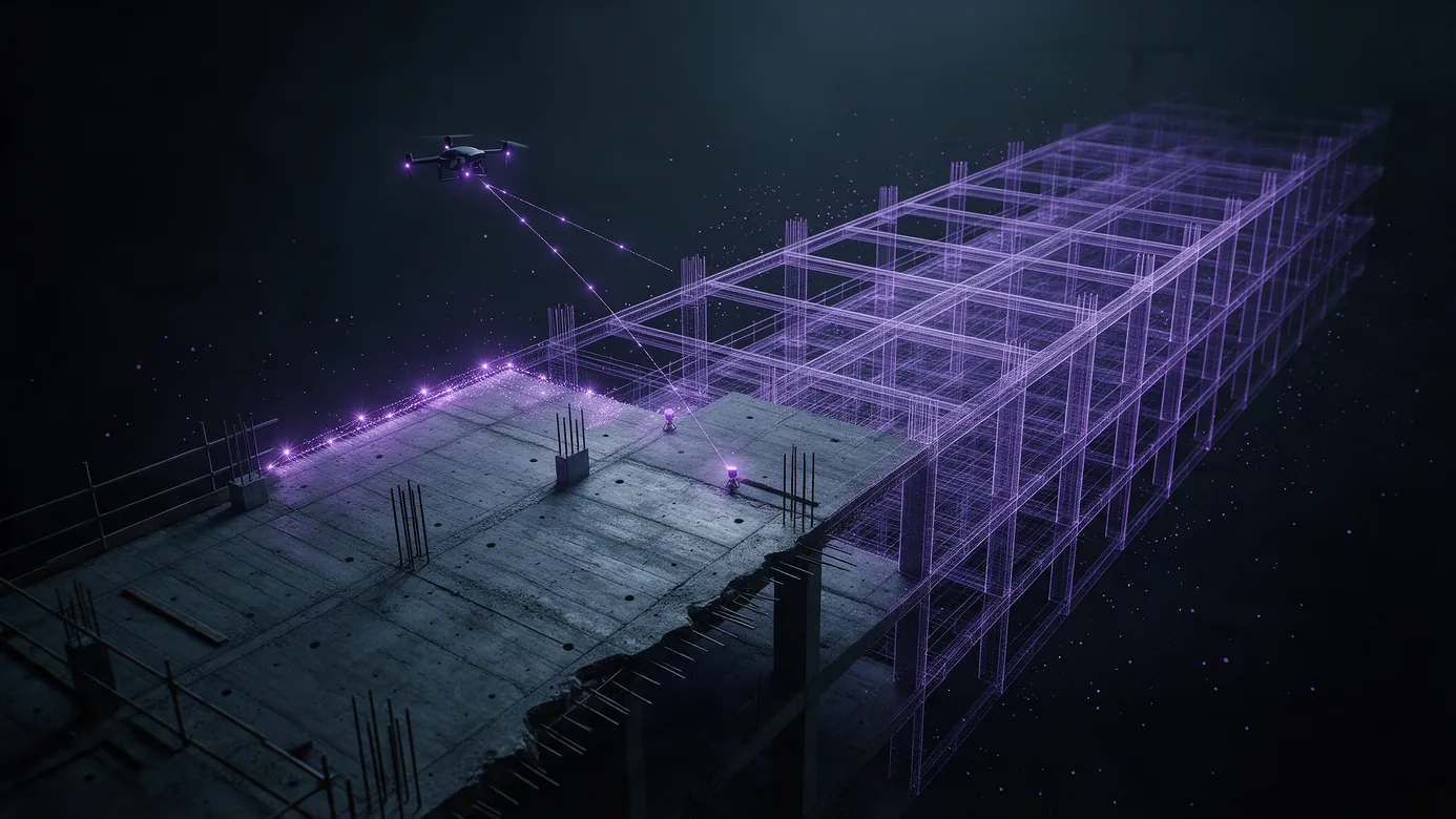
A partly built structure seen from above, half real concrete and steel and half as-designed model in exact registration, with a drone flight path above and a ground capture trail on the slab feeding the same map
Progress Verification
Compare as-built against design without re-surveying. A partial re-scan merges into the same frame as a new version, and ground and aerial capture describe one building.
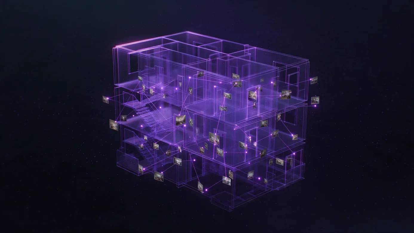
A wireframe model of a building interior with dozens of site photographs pinned at the exact points they were taken from, each tethered to its location by a thin line
Photos That Carry Their Position
Hundreds of site photos a week carry no position. Send a frame, get exact coordinates inside the building, so a photo is findable by place months later.

Proof From Production

What changed on a live hospital floor when marker control came out.

0

Markers installed

Down from 1,000 per floor

8.3

Crew days removed

Nobody travels to the building

98%

Lower setup cost

Per 100,000 sq ft floor

Sitelink, field BIM platform running on MultiSet VPS

Read the case study

Positioning Behind Your Own Interface

Localization plugs in behind a common interface, so positioning is a component rather than a rewrite. MultiSet VPS reached production inside an existing SceneKit app in about a day, with no rendering stack change and no hardware. Mode stays a project-level setting, so marker projects keep working and a customer can run one job each way before committing a portfolio.

Headless REST and native SDKs

Send a frame, get a 6-DoF pose. Unity, native iOS and Android, WebXR and headsets from one surface.

Onboard any customer

The map is built from whatever scan the project already has, so you do not need a capture business of your own.

Your platform, your customer

We hold the coordinate, you hold the relationship. Ship it as your localization layer, under your own brand.

See the SDK and API surface

Finding the Equipment That Moves

High-value plant moves daily and gets found by asking around. Drop a pin where it was last seen: the app localizes, returns a coordinate and writes it to the system that already owns the asset record. No map authoring, no model, just a log of localization calls.
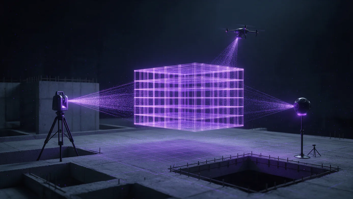
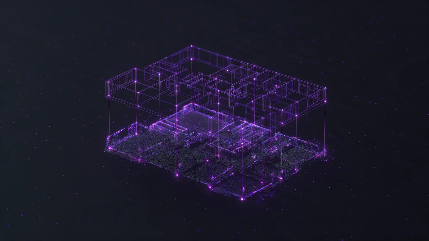
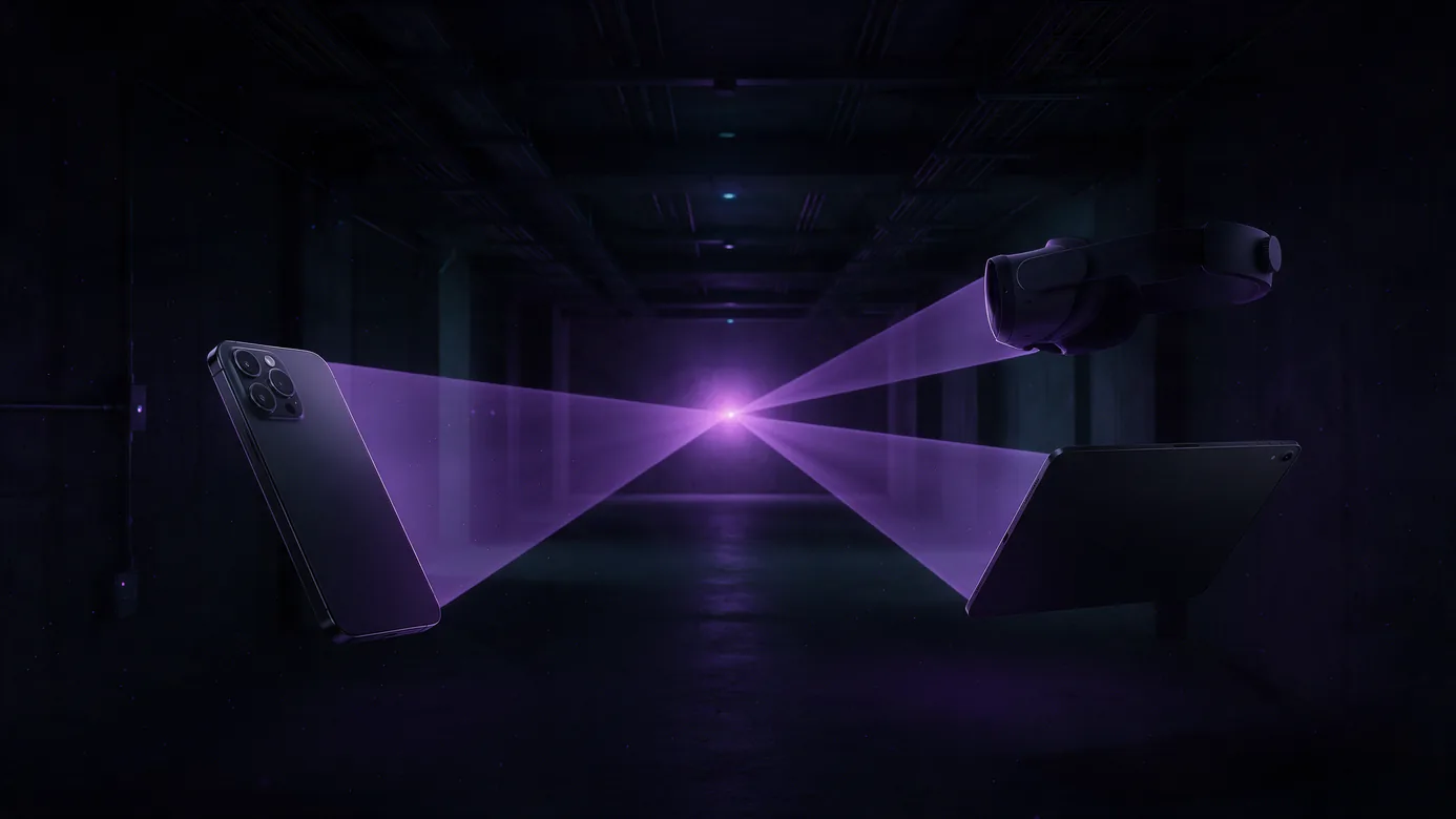
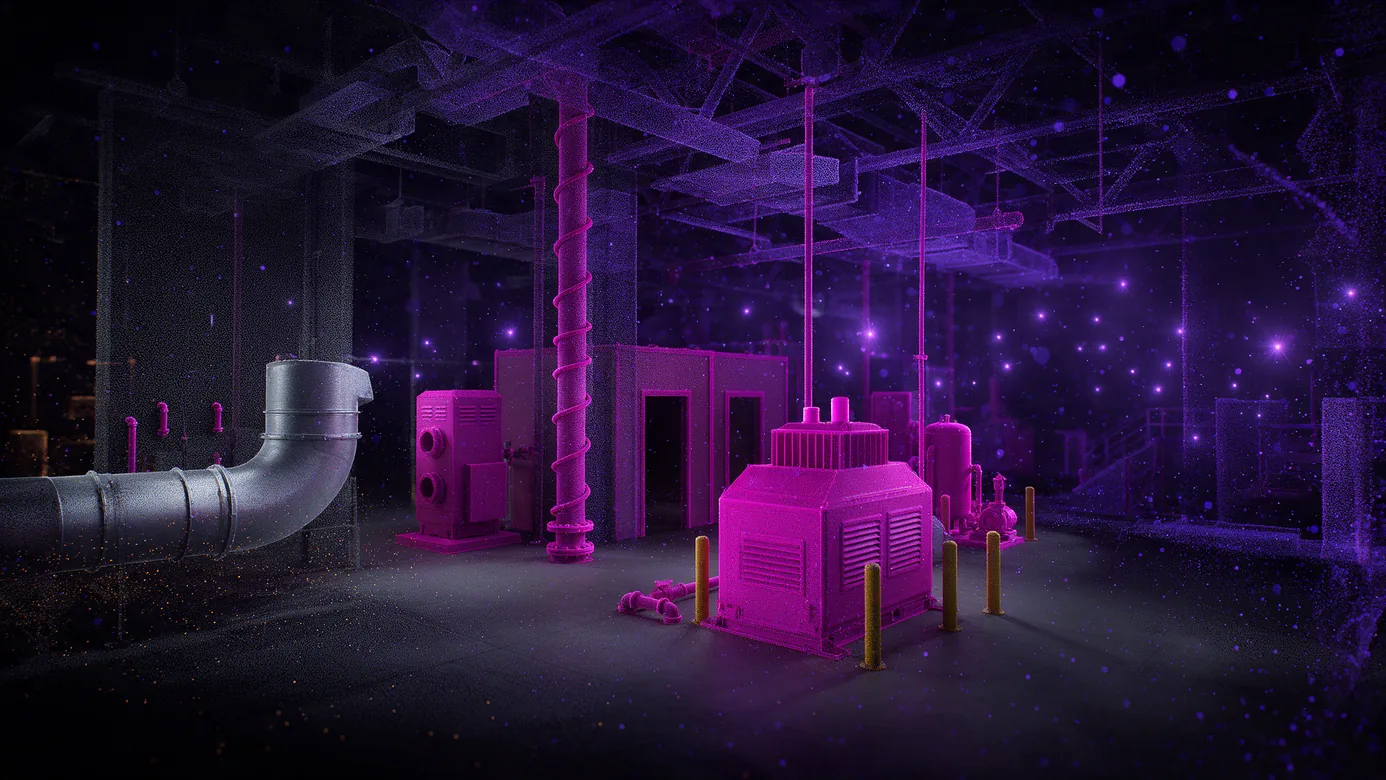
A tripod laser scanner, a 360 camera on a monopod and a drone around an open construction floor, each feeding a stream of points into one model at the centre A wireframe model of a building floor snapping into alignment over a denser point cloud scan of the same floor, with guide lines where the two meet A phone, a tablet and a head-mounted display in a construction corridor, each projecting a camera frustum that converges on the same point on the far wall The same construction room as two overlapping scans from different dates merged in registration, with newly added ductwork and partitions picked out in a brighter colour

Ingest

Build the map from capture the job already produces. E57 with panoramas from Matterport, Leica, NavVis, Faro and XGRIDS, Gaussian splats, and 360 video from Insta360, GoPro Max 2 or Ricoh Theta, handheld or flown. No proprietary capture app, and no LiDAR scanner required.

Align once

Pull the map mesh over the REST API and align the model to the scan once, at a desk. Field users never touch alignment again.

Localize

A single camera frame returns position and orientation in about two seconds. Phones, tablets and headsets resolve against the same map, so a mixed fleet sees the same thing in the same place. Deep Search raises recall where accuracy beats latency.

Stay true

A re-scan is stored as a version rather than a replacement, so anchors and overlays survive the update even from different capture hardware. MapSet joins floors into one frame, and a new map aligns against the set automatically.

Scan-Agnostic Jobsite Localization, Built as Infrastructure

Scan-agnostic ingest
The reality capture the project already paid for becomes the map. No proprietary capture app and no required scanner.
Built for sites that change daily
A partial re-scan merges into the same frame as a version, so the reference stays current without re-authoring content.
Holds in finished rooms
Localization succeeds against a map built before new mechanical, electrical and plumbing went in, and before floor equipment moved.
Integrates in about a day
Provider-agnostic interface, headless REST, no rendering stack rewrite. Your platform, your customer, our infra.
Whole buildings, not showcase floors
MapSet joins maps into one coordinate frame and behaves as a single map, with floor-level hints for multi-storey work.
Ground and air in one frame
Drone and handheld captures fold into one model rather than staying separate files.
Runs where the project requires
Cloud, private cloud, self-hosted, and on-device for sites without connectivity.

Cloud and On-Device for Sites Without Connectivity

A jobsite loses connectivity long before it loses trades.

Public cloud, private cloud, self-hosted, fully on-device.

Interior scans are often the sensitive artefact, and where they live is a procurement question before it is a technical one.
Diagram showing private cloud, on-prem and on-device deployment options connecting to one MultiSet core, which serves warehouse, factory, construction, healthcare and tunnel environments

Markerless and Marker-Based Layout Compared

Marker-based layoutMultiSet positioning layer
Setting up a floorModel layout, then a crew installs codesAn export and an upload
Who has to be on siteA field resource, for daysNobody
Accuracy while walkingDecays from the markerCorrected continuously against the map
A wall gets finishedThe code is goneThe map is versioned
Source capturePurpose-built for the AR systemWhatever the project already owns

Stated plainly: this compares a method, not a vendor. We are not replacing your field app. We are giving the model somewhere to stand.

Two related reads: marker-based against markerless localization goes deeper on the method comparison, and AR QA and commissioning covers verification against design before handover.

For platform teams: the SDK and API surface lists every SDK target and the REST endpoints. Localization plugs in behind a common interface, so positioning is a component rather than a rewrite.


Construction VPS:
Frequently Asked Questions
Do we need to install markers or QR codes?

No. Position is resolved from the camera against a map built from a scan, so nothing is mounted in the building. On a 100,000 sq ft floor that removes 1,000 printed codes, 8.3 field crew days and the monthly cost of replacing codes that get painted over or covered by finishes.

Do we need a new scan of the site?

Usually not. Structured E57 with panoramas from Matterport, Leica, NavVis, Faro and XGRIDS, Matterport MatterPak, Gaussian splats and 360 video all work as inputs. Any 360 camera that exports a monoscopic 2:1 equirectangular MP4 is supported, GoPro Max 2 and Ricoh Theta included, so a site already running 360 walkthroughs needs no LiDAR scanner. Most large projects already run reality capture, which makes the incremental cost of a map an export and an upload rather than a new capture programme.

Should we build indoor positioning ourselves or integrate it?

It depends on whether you own a capture business. A platform that already collects its own imagery on every project can build a reference map as a by-product of work customers are doing anyway. Everyone else has to either make customers install markers or ingest the scan the project already owns. Integration against a provider-agnostic interface reached production in about a day in a shipped field BIM application, inside an existing SceneKit app, with no rendering stack change and no proprietary capture app.

What happens when the building changes?

Re-scan the part that changed. The new capture is aligned to the base map and stored as a version rather than replacing it, so anchored content carries forward and every recorded position stays traceable to the version it was captured against, even when the new capture comes from different hardware. Localization has succeeded against a map built before new mechanical, electrical and plumbing went in and before floor equipment was rearranged.

How accurate is it, and under what conditions?

Centimeter-scale in mapped areas with adequate visual texture. Accuracy depends on the quality of the source capture and how much the space has changed since it was taken, which is why versioning is part of the deployment rather than an afterthought. On a finished hybrid operating room with the fit-out essentially complete, seven discipline models resolved at 0.97 confidence and held through the walkthrough without re-anchoring.

Does it cover a whole building or one floor?

A whole building. Multiple maps join into one coordinate frame as a MapSet and behave as a single map to the end user, with floor-level hints for multi-storey work, and a new map aligns against the existing set automatically rather than needing someone to pick an overlapping map. Deployment runs on public cloud, private cloud, self-hosted, or fully on-device, and in the self-hosted and on-device modes no maps, images or spatial queries leave your infrastructure.

One Frame for Every Trade on Site