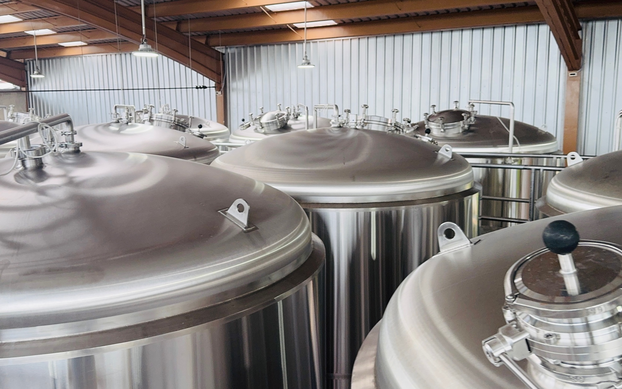
A brewery floor gives a technician almost nothing to go on. Vessels are identical and stand in rows. Panels repeat down a wall. The plate that separates one from the next is jacketed, wet or painted over. Identification runs on memory, and memory is not on shift at three in the morning.
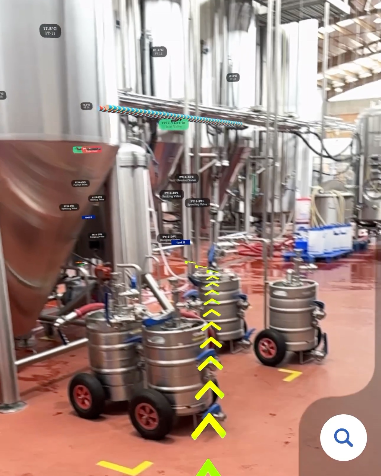
MultiSet puts every vessel, skid, panel and pump onto a spatial map of the brewery, then gives any phone its position on that map. The question of which tank this is gets answered by pointing a camera at it, and the tank's live readings come up on the tank itself. One walk with a scanner builds it. Nothing is installed on the floor and no production stops.
Five things about the floor, and what the spatial layer does about each.
| What the floor is like | What it costs today | What the spatial layer does |
|---|---|---|
| The asset is a long way off | A wrong vessel costs the walk twice | Localization in about two seconds, then a route that realigns as the technician moves |
| Every switchboard looks alike | Being one panel out is easy, and expensive | The camera identifies the exact panel and puts its name on it |
| The site has levels | Technicians who rarely go up have no reference for which vessel is which | Multi-level support: the layer knows which floor the phone is on and labels the vessels in view |
| The reading lives on a panel elsewhere | Two people are occupied by one measurement | Live data displayed on the physical equipment itself, at the asset |
| Status is written down twice | The update lands hours after the work | Status updated at the asset, position-stamped, into the system of record |
A technician at a tank without a reading has two ways to get one, and both are a trip: walk to the control panel, or occupy a second person over the radio. The same happens in reverse at the end of the job, when what was written on paper at the vessel gets typed in at a desk. Neither leg appears on the work order.
Position closes both. Once the phone knows which vessel it is standing at, the reading can be shown on the equipment and the status updated where the work happened.
Once the workflow is agreed, the solution deploys in two to three days, with no production stopped.
01 Plan the new workflow. Walk one real job, mark where working stops and looking starts, and agree how it gets re-timed after. Ahead of deployment.
02 Scan the site. One operator walks cellar, tank farm, brewhouse, packaging and utilities with a K2 or an Insta360, around live production and touching nothing. Every level is captured. Half a day.
03 Tag all assets. Every asset goes on the map under the identifier the brewery already uses, points for fixed and zones for portable, with the live data feeds bound to the assets they belong to. A day.
04 Test and roll out. Test gloved and wet on live shifts: the vessel behind another vessel, the manifold, the view from the gantry. Then roll out. A day.
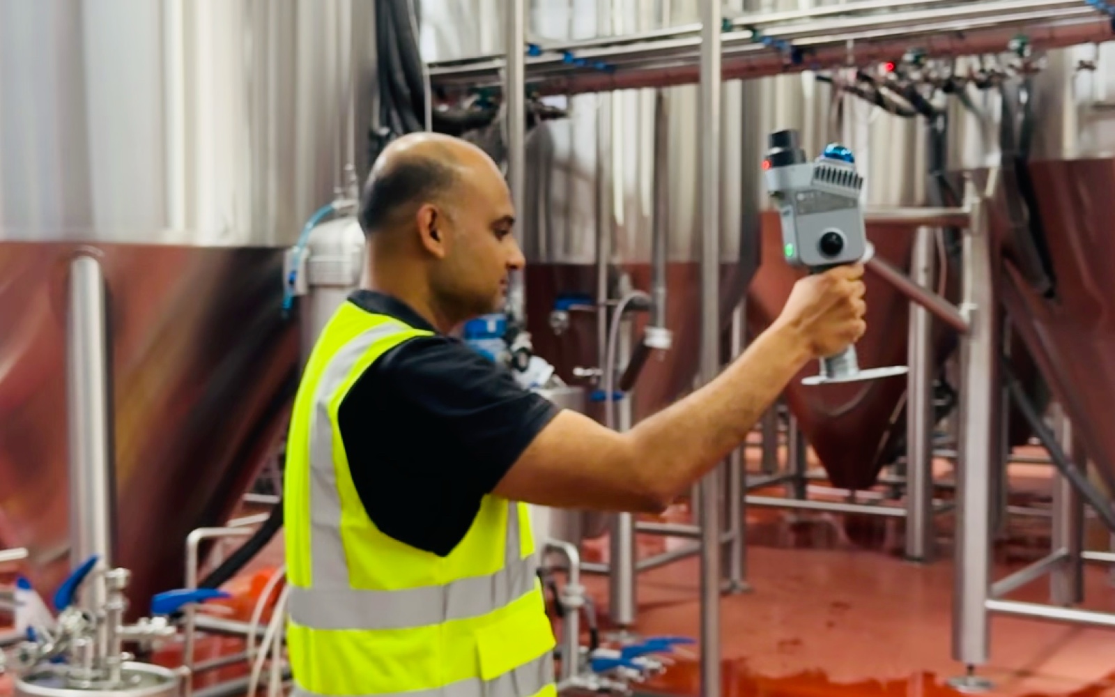
A K2 or Insta360 scan becomes a VPS map. Assets are tagged against it in a spatial dashboard built on MultiSet, and the locator is built with the MultiSet SDK.
| Tool | What it does here |
|---|---|
| XGRIDS K2 | Handheld LiDAR: one walk yields a metric-scaled Gaussian splat. |
| Insta360 | The low-cost route in: about 1,000 sq ft per 60 seconds of footage. |
| MultiSet | Either capture into a VPS map at 5 cm accuracy, plus the tagging dashboard. |
| MultiSet SDK | Localization, the asset query, routing and live data overlay. iOS, Android, Unity, WebXR and ROS 2. |
| Mobile | Phones already in service. No new hardware. |
| Meta Ray-Bans | Hands free: audio guidance through the glasses, with the visual overlay on the phone. Frames are discarded immediately after processing and never written to disk. |
The same map carries robots. A mobile robot localizes against it through the ROS 2 SDK, so a routine round can run without a person walking it.
Fifteen people were trained in one session on the floor, and there was no manual. The interface is a search box and an arrow: pick the asset, follow the direction, confirm on arrival.
Adoption held because the app replaces a walk instead of adding a step to one. Contractors and new starters need no training at all, because their first shift is their first use. Where MultiSet has measured this elsewhere, more than a thousand users came on with no formal training and navigation satisfaction rose 57%.
Locate time was never on a report, and neither were the trips either side of the job. Where MultiSet measured the search elsewhere in manufacturing, asset location fell from twelve minutes to under ninety seconds, with roughly 70% fewer late starts.
For a brewery the arithmetic is its own. Fifteen people, five locate events a shift, four minutes falling to one, across 750 shifts returns about 2,810 hours. That figure is illustrative and should be replaced with a measured number once a site has run it.
The readings and the paperwork return time the same way. A measurement read at the tank frees the second person who used to read it out, and a status updated at the asset arrives while the work is still fresh.
Related: frontline operations in the field of view is the general form of this deployment, where the work order, the reading and the model land on the equipment rather than the room. Pharmaceutical manufacturing runs the same pattern against thousands of near-identical valves, with line clearance evidence attached to each checkpoint.

