A visual positioning system (VPS) works out exactly where a camera is by comparing what it sees against a prebuilt 3D map of the space. It returns a 6-DoF pose, three numbers for position and three for orientation, in the map's coordinate frame. That's precise enough to put a label on one valve among forty. The technique underneath is called visual localization.
Every device that queries the same map gets its answer in the same frame. A pin a technician drops on Monday is where the robot finds it on Friday.
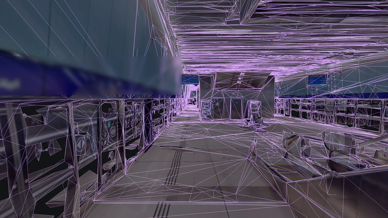
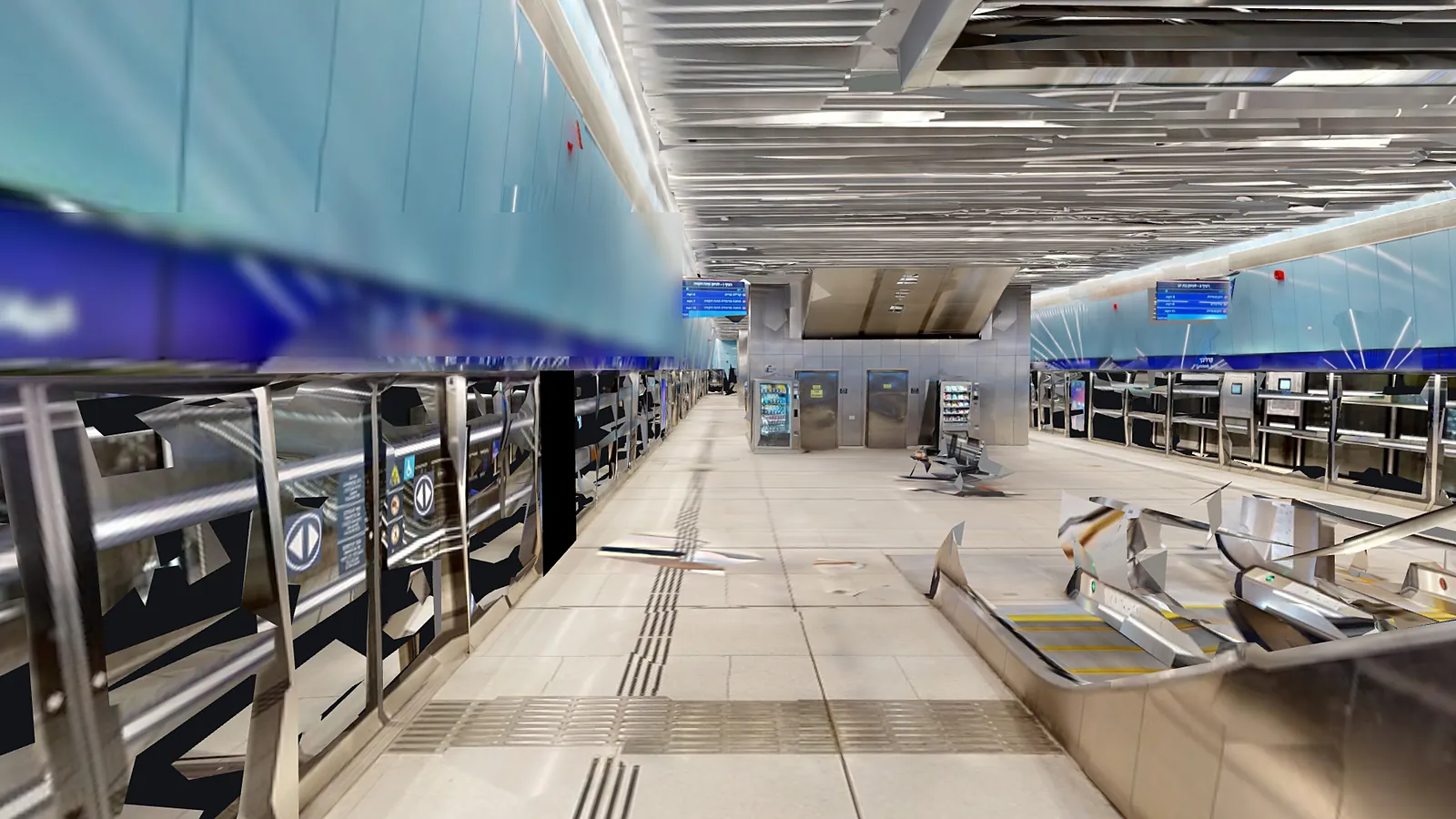
On their own, each device measures from wherever it switched on, so four devices give four answers. Against one VPS map they share one origin and one set of axes.
Illustration over a partner's map, shown without its name. Pose values are examples.
From the capture you already own. An E57 point cloud from a laser scanner, a Gaussian splat, a 360 walk-through, a phone sweep or a drone flight each becomes a map that every device localizes against.
Step-by-step guides for each scanner: NavVis, Leica, Matterport, XGRIDS and FARO.
Real maps, rendered from the files the platform produced. The point cloud view is sampled from the same scan as its map. Partner sites are shown without their names, and the phone capture is a home, so it's shown untextured.
Long corridors that look alike, halls full of equipment, and sites seen from the air. These are partner sites, mapped from the scans their owners already had.
MapSet joins scans of separate floors and buildings into one coordinate frame, so a device walks from one into the next without starting over. Map versioning keeps anchored content in place when you re-scan a changed site, and rolls back a bad update.
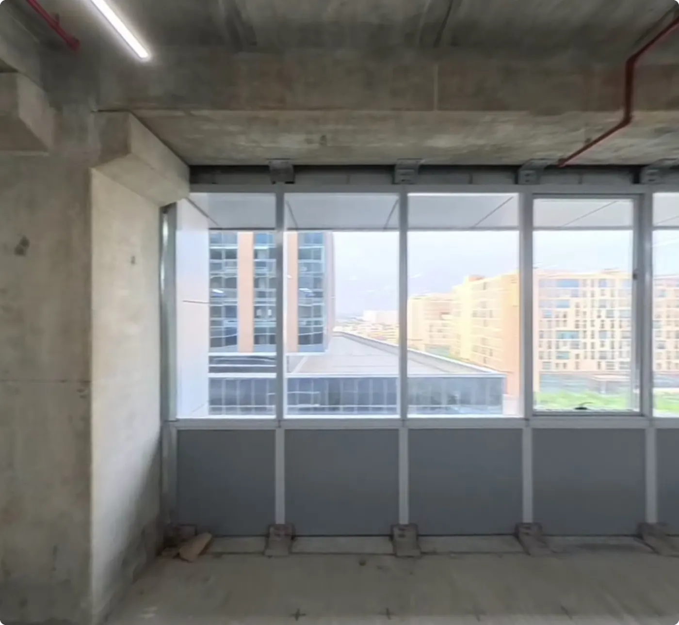
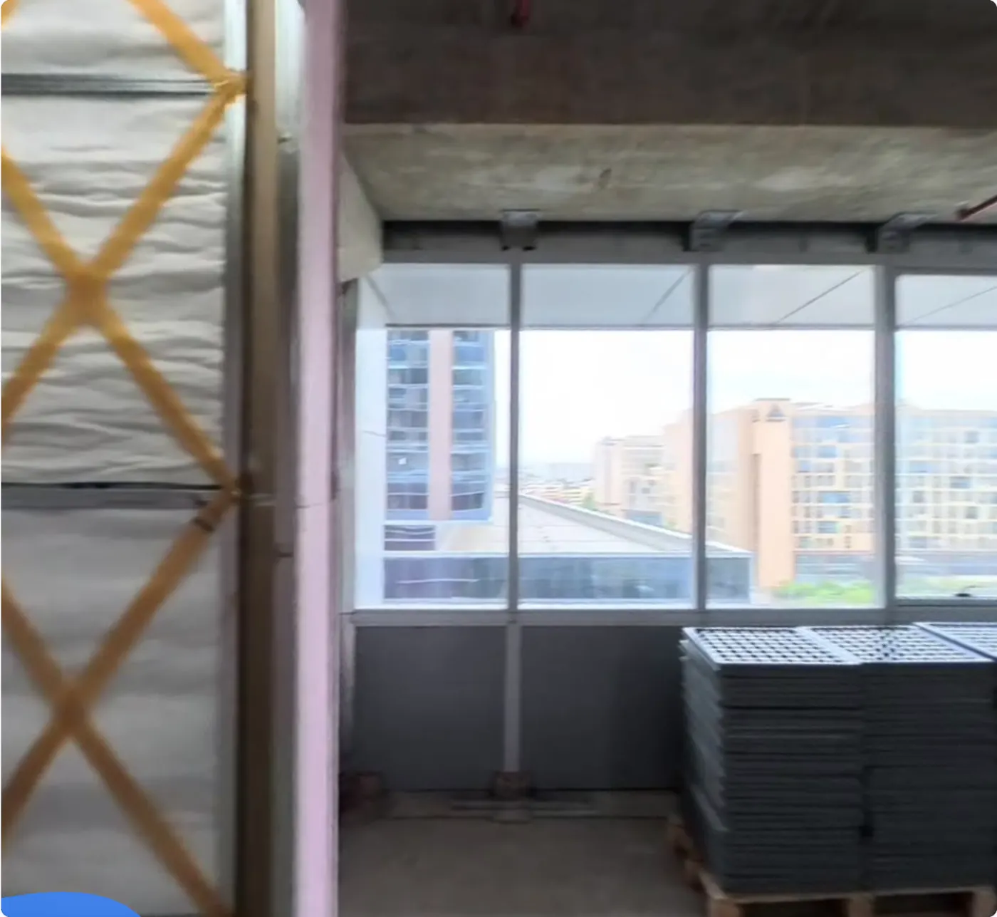
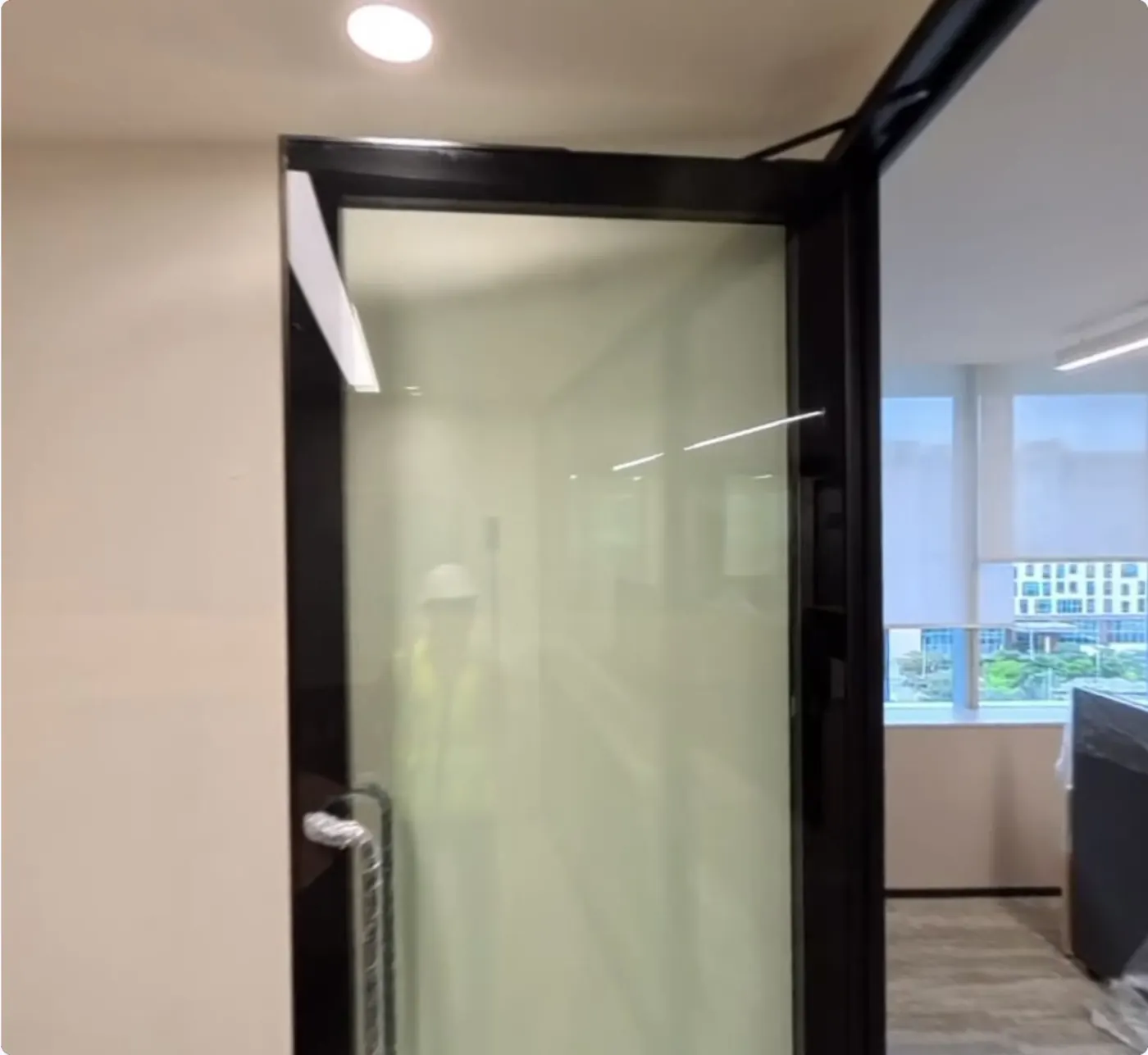
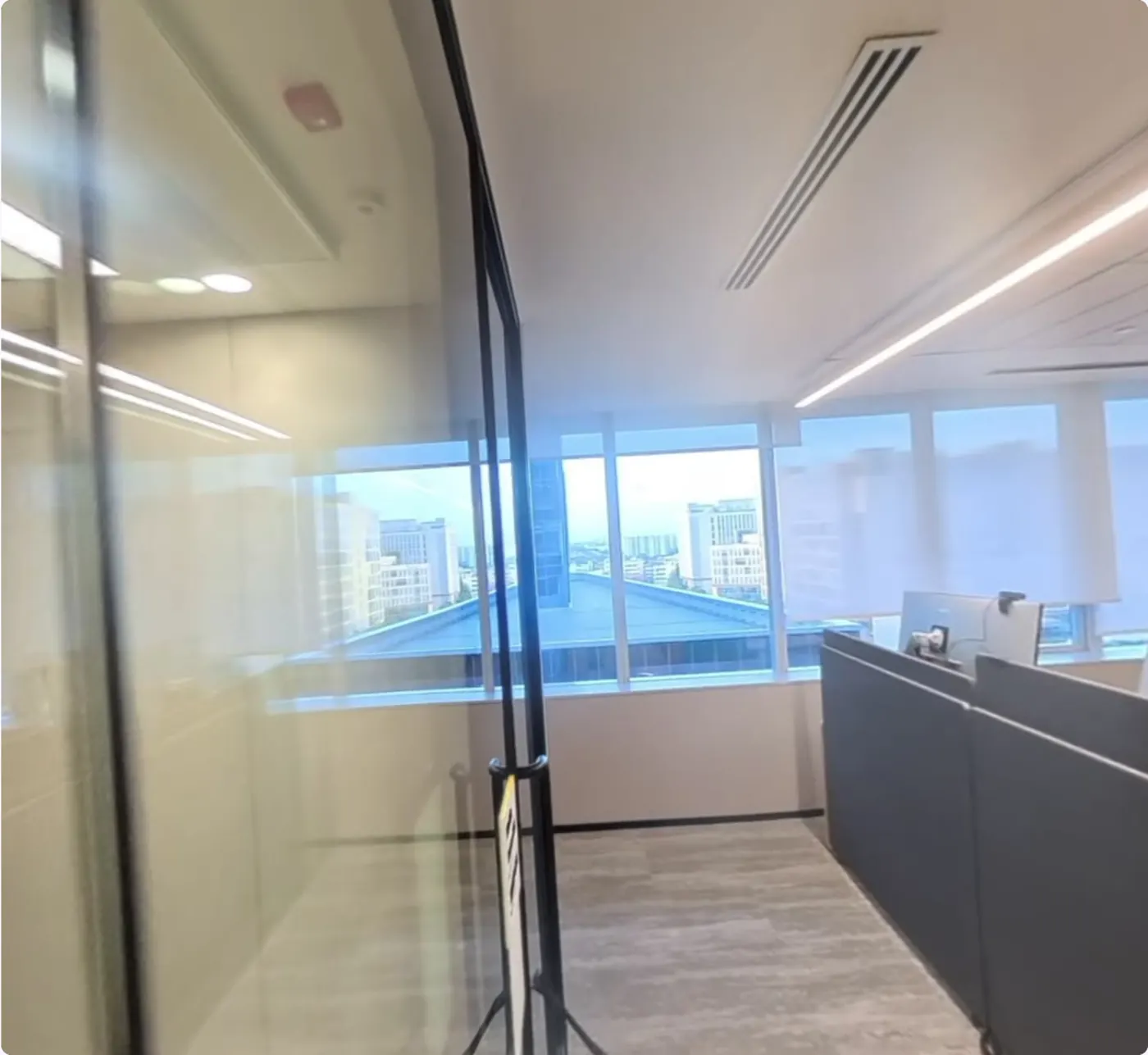
The same viewpoint in four versions of one map, from bare concrete to a finished office. Content placed in May keeps its coordinates in every later version, so nobody re-places it after a re-scan.
Separate scans each start from their own origin. MapSet joins them into one coordinate frame, so a device walks from one floor to the next, or out into the yard, without starting over.
GPS stops at the roof, and indoor radio systems need hardware on every wall. A VPS uses the camera already on the device, against a map built once.
SLAM and VPS work together in production. The device's own tracking handles motion from frame to frame, and the VPS supplies the absolute fix that cancels its drift. More in VPS vs SLAM and indoor positioning technologies.
Phones and tablets, smart glasses, XR headsets, ground robots and drones all call the same API and land in the same frame. In augmented reality that's what keeps a label on the right valve and a route on the right floor, while the device's own tracking carries the content between fixes.
Turn-by-turn across an expo hall, from the glasses' own camera.
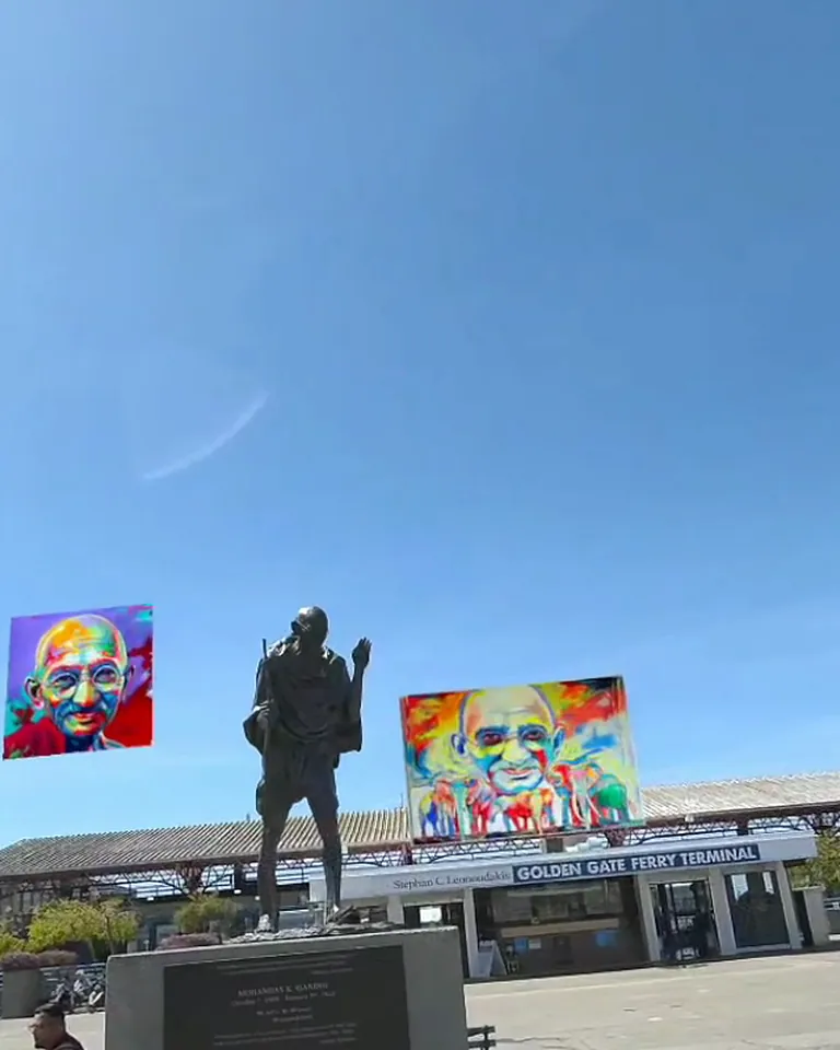
Artwork held in place around a statue in a city plaza.
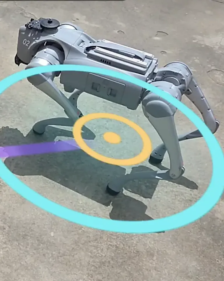
Pick a point from a phone or glasses and the robot walks there.
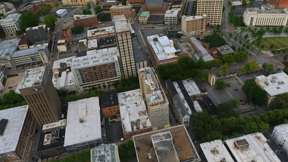
Position from the camera when GPS is weak or gone.
Native SDKs on top of ARKit and ARCore, with App Clips and Instant Apps for no-install pilots.
Localization from a link, in Chrome on Android, with nothing to install.
Send one frame, or four to six, over HTTPS and get back a 6-DoF pose with a confidence value.


