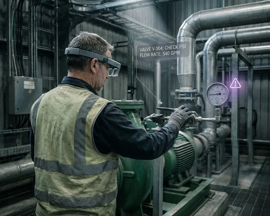
A field technician viewing anchored work instructions on a tablet in front of plant equipment

Connected Worker: Put the Twin, the Work Order and the Reading In Front of the Person Doing the Job

Your systems of record were built for the people at desks. This is the layer that reaches the rest.

Sub-5 cm median accuracy. Runs on the phone already in their pocket.

A technician standing in front of the wrong pump does not need better data. They need the data they already have, attached to the right pump.

The Gap Between the Record and the Reality

A digital twin, a CMMS, an MES and an ERP are all designed for someone sitting at a screen. They hold an accurate picture of the facility and they deliver it to a desk. The people who act on that picture are not at a desk. They are in front of the asset, hands occupied, deciding which of six identical units the work order refers to.

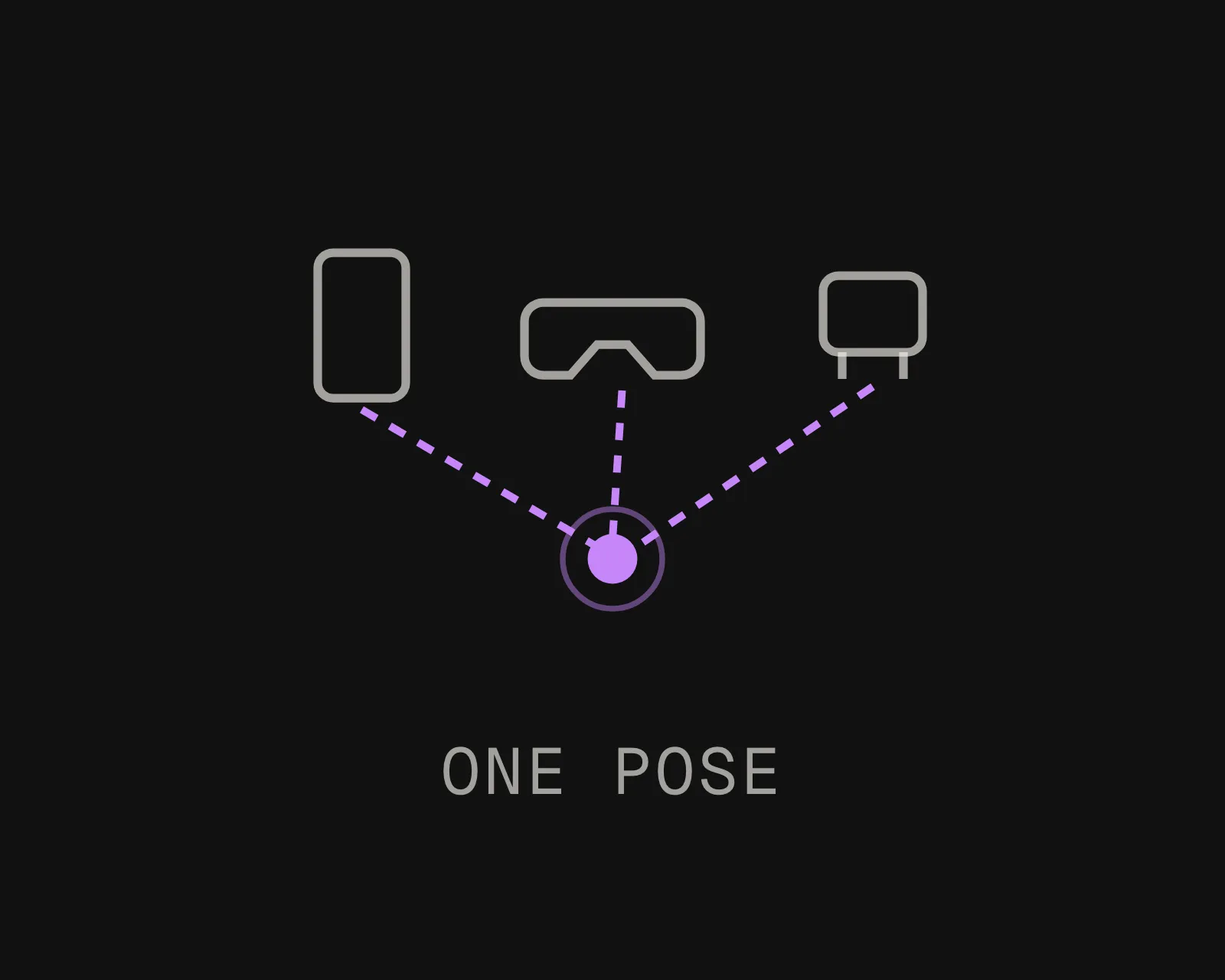
That gap is not an interface problem and it is not solved by a better mobile app. It is a positioning problem. Until a device knows exactly where it is and which way it is facing, no system can put the right record in front of the right piece of equipment.

What a connected worker programme actually needs underneath it
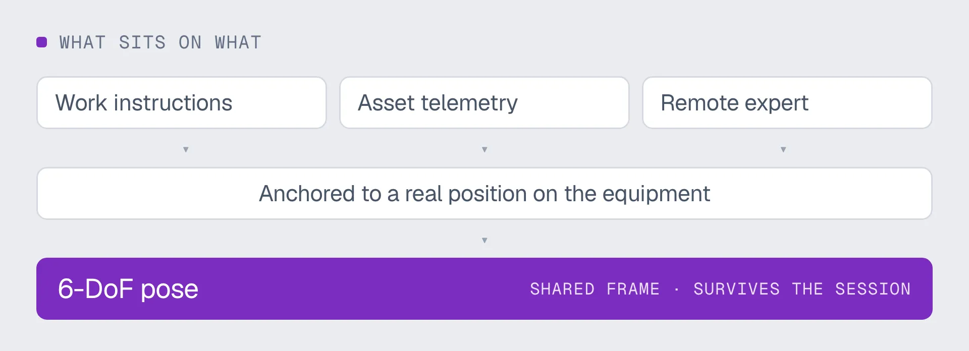
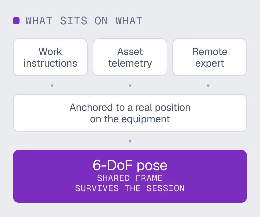
Most connected worker deployments stall at the same place. The content is ready, the headsets are bought, and nothing can be anchored reliably because the underlying position is a room-level estimate or a QR code somebody has to maintain. Six degrees of freedom, in a frame that survives the session and that every other device shares, is the requirement. Everything above it, work instructions, telemetry, remote expert, is content that fails or works depending on whether that requirement is met.

Runs on: phones, tablets, smart glasses, headsets, browsers
Feeds:

- Work instructions, procedures and permits, anchored to the unit
- Live readings, work orders and asset history from your existing systems

How It Reaches the Field

An existing facility scan being used as the map for a connected worker deployment
Use the scan you already have
Most industrial sites were captured years ago for engineering or facilities. E57, LiDAR, Matterport, NavVis, Leica, FARO, XGRIDS, 360 video and phone captures all work as inputs. No new survey, no proprietary hardware, no re-scan.
Procedures and readings anchored to real positions in a shared coordinate frame
Anchor the content once
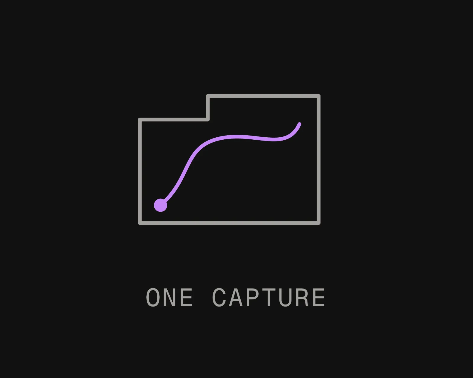
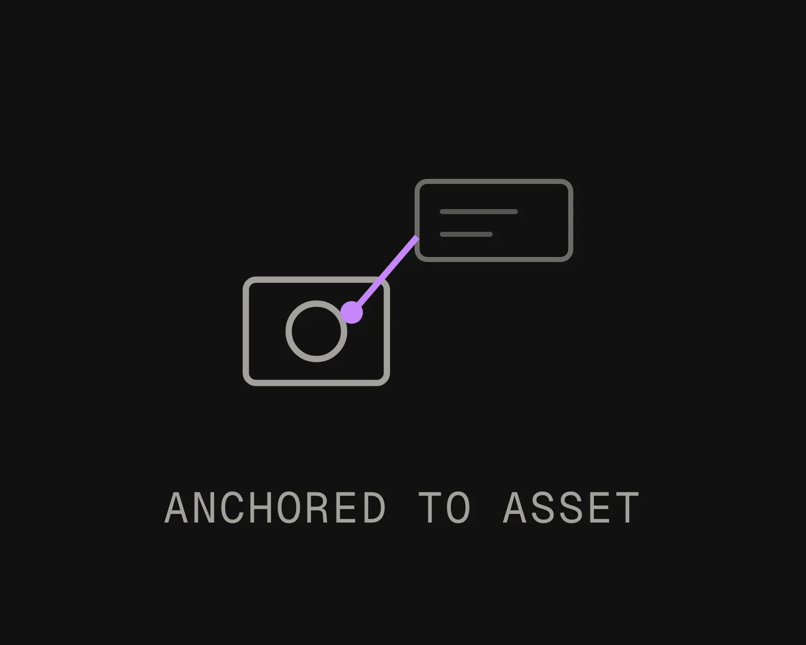
Attach procedures, tags, readings and notes to real positions in a shared coordinate frame. Anchors are placed once and survive sessions, devices, shift changes and the next re-scan of the space.
A technician, a headset and an inspection robot working from one shared map
Deliver it in place
The device localizes from a camera frame and the right content appears against the right asset. Same map serves a phone, a headset, an inspection drone and an autonomous robot, so people and machines are working from one version of where things are.

What Teams Build On It

Work Instructions On the Unit

Procedural guidance overlaid on the equipment it describes, landing on the specific unit among units that look identical. Where a general area is enough, a printed sheet is cheaper and you should use one.
Finding the Asset At All

Routed navigation to the equipment, then identification when you arrive. A Fortune 100 industrial customer running MultiSet in private cloud production measured 2.5x technician productivity on asset finding and a 4x reduction in mean time to repair.
Inspection, QA and Compliance

Every observation carries the position it was made at, so a photograph is evidence rather than a picture. Re-scan later and compare against the anchored record to see what actually changed.
Incident and Observation Capture

A hazard reported at a coordinate can be found again by the next person. A hazard reported as "near the north stairwell" cannot. Spatially anchored notes are the difference between a report and a location.
Remote Expert, With Context

The person in the control room sees exactly which asset the field technician is standing in front of, because the position is shared rather than described. That removes most of the first five minutes of every support call.
Your Data Stays Where Compliance Says

Public cloud, single-tenant private VPC, self-hosted on-premises, or fully on-device with no outbound call. Interior scans of a working plant are sensitive, and where they live is usually a procurement question before it is a technical one.

Where This Sits Against Your Existing Systems

MultiSet does not replace any of them. It is the layer that gets what they hold to the person standing in front of the equipment.

Two of these in detail: AR quality inspection for scheduled checks, compliance and change detection, and spatial incident reporting for hazards and near-misses.

Talk It Through
DIMENSION
CMMS, MES, ERP, digital twin
MultiSet positioning layer
Who it was designed for
Someone at a screen, planning or reviewing
Someone on the floor, executing, hands occupied
What it knows about location
A tag, an area, a line on a drawing
Position and orientation to sub-5 cm, live
What it replaces
Nothing here. These remain the systems of record
Nothing. It carries their data into the field
Who else can read it
Whoever has a licence and a login
Any device on the shared map, including robots and drones
What it needs installed on site
Nothing physical
Nothing physical. A scan you already own becomes the map
The question it answers
What is the state of this asset
Which asset am I actually looking at, right now
Frequently asked questions
What is a connected worker platform?

Software that gets procedures, work orders, readings and expert help to people working away from a desk, usually on a phone, tablet or headset. MultiSet is not one. It is the positioning layer such platforms need underneath them, so their content can be attached to a specific piece of equipment rather than to a building or a zone.

Why do connected worker deployments stall?

Usually not for lack of content or devices. The common failure is that nothing can be anchored reliably. Either the position is a room-level estimate, which cannot tell one of six identical units from another, or it depends on markers somebody has to place accurately and maintain. Both break at scale, and the pilot quietly stops being used.

Does this replace our CMMS, MES or digital twin?

No, and you should be sceptical of anything that says it does. Those remain your systems of record. MultiSet sits underneath the field experience and answers one question they cannot: which asset is this person actually looking at. Their data flows through unchanged.

Do workers need headsets?

No. It runs on the phone already in their pocket, and in a browser with no app install, which is usually how pilots get off the ground. Smart glasses and headsets are supported and change the ergonomics rather than the capability, because a head-worn device frees both hands and nobody has to frame a shot.

How is this different from RFID, UWB or beacon tracking?

Those locate a tag. Anything untagged is invisible to them, and the work scales with the number of things you want to find. Ultra-wideband is genuinely good at ten to thirty centimetres and is an infrastructure project before it is software. MultiSet locates the observer against a map of the building at sub-5 cm, sees whatever is in front of the camera, and installs nothing. Many sites end up running both.

What happens when the plant changes?

Re-scan the zone that changed rather than the whole site. Anchored content carries forward to the new version automatically, so procedures and tags placed last year do not have to be positioned again by hand. Ask any vendor this question early, because a system that needs a full recapture after every layout change will fall out of use inside a year.

Can it run in a plant with no network, or under strict data rules?

Yes. Localization can run entirely on the device with no outbound call, which also gives the lowest latency. For sites where no third-party cloud is permitted, the same software runs self-hosted on your hardware and in air-gapped deployments with no licence check phoning home.