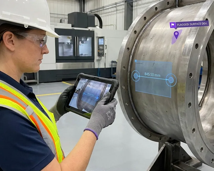
An inspector recording a finding on a tablet with the position captured alongside it

AR Quality Inspection: Every Check Recorded Against the Exact Spot It Was Made

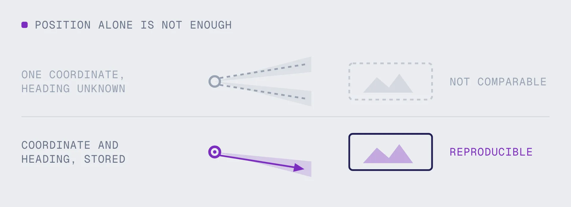
A photograph with a position attached is evidence. Without one it is a picture.

Sub-5 cm median accuracy. Repeatable across inspections months apart.

The value of an inspection record is whether the next person can stand where you stood and see what you saw.

Why Inspection Records Decay

Most inspection tooling captures what was found and when. It captures where only as a room, a zone, an asset tag, or a sentence somebody typed. That is enough to file the report and not enough to return to the exact spot six months later, which is when the finding actually matters.

The consequence shows up as re-inspection. Somebody walks the site again to find the thing the last report described, because the description was not precise enough to act on. That is the cost, and it repeats every cycle.

The difference a coordinate makes
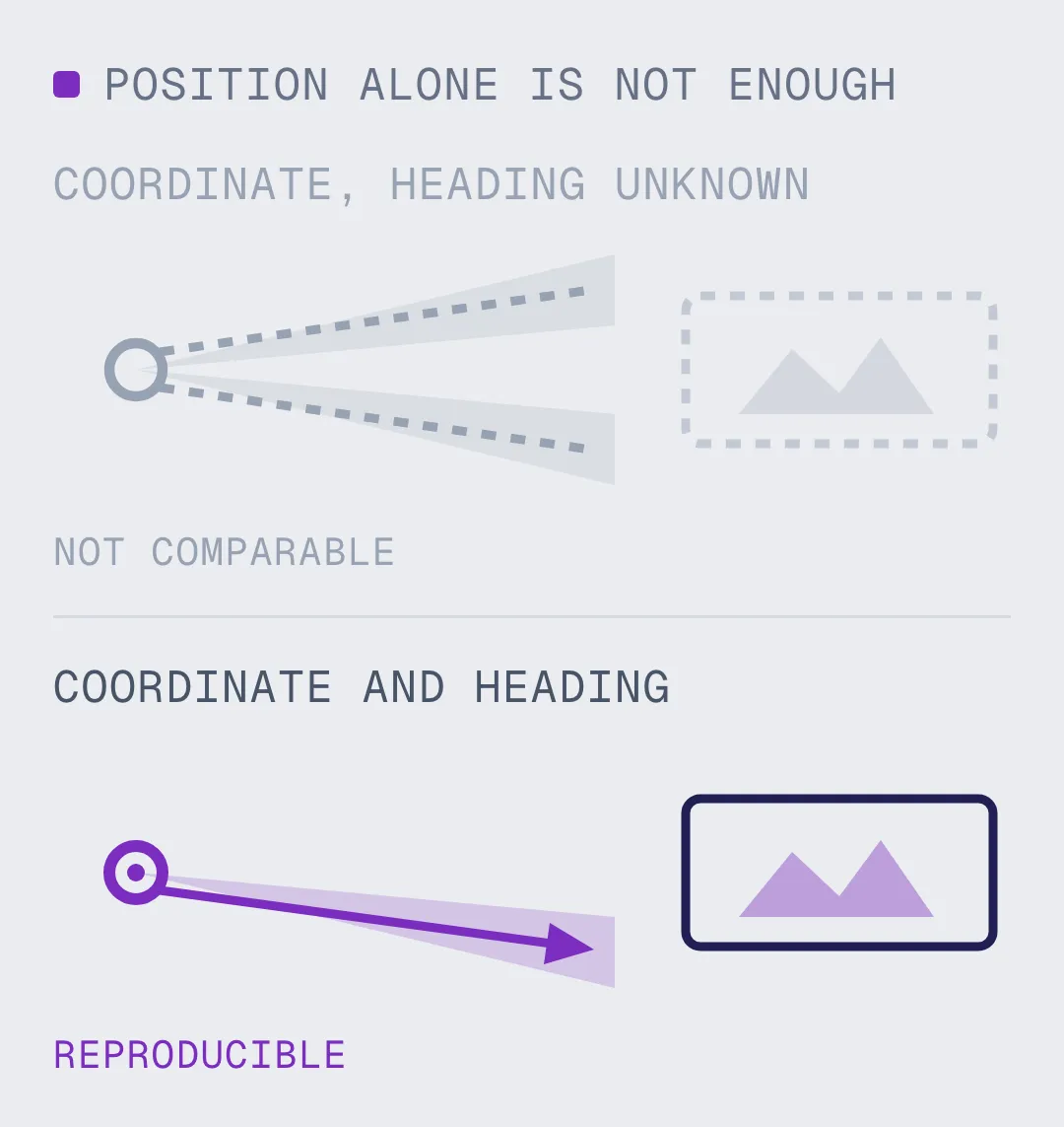
When every observation carries the position and orientation it was captured from, three things become possible that were not before. The next inspector is routed to the precise location rather than to the area. The same view can be reproduced, so two photographs are genuinely comparable. And a later scan of the space can be differenced against the anchored record, which turns change detection into a query instead of a walk.

Captured with: a phone, a tablet, smart glasses or an inspection drone
Recorded as:

- A 6-DoF coordinate, timestamped, written to your system of record
- Reproducible on the next visit, by anyone, on any supported device

How An Inspection Cycle Runs

Capturing a baseline scan of a facility for an inspection programme
Capture the baseline
Use the scan the site already has, or walk it once. That becomes the reference the whole programme measures against, in one metric coordinate frame.
An inspection checklist shown against the equipment it refers to
Inspect in place
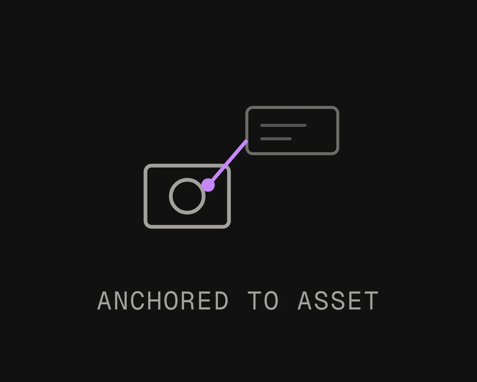
The checklist appears against the item it refers to. Findings, photographs and readings are written with the position they were taken from, so the record and the location are one object rather than two.
Comparing a new scan against the baseline to see what changed between visits
Compare and close out
Return to the exact spot on the next cycle, or re-scan the area and difference it against the baseline. Open findings are locations on a map rather than rows in a spreadsheet somebody has to interpret.

What This Covers

Quality Control On the Line

Checks anchored to the station and to the unit, so a first-pass yield problem can be traced to a position rather than to a shift. Object tracking locks to a specific part from its 3D model at sub-millimetre, which is a different job from positioning in the room and often runs alongside it.
Compliance and Audit

An auditor asking where a reading was taken gets a coordinate and a reproducible viewpoint instead of a description. The evidence trail is spatial, which is considerably harder to dispute than a filename and a date.
Change Detection Between Visits

Re-scan on whatever cadence the site demands and align the new capture to the active baseline. What moved, what was added and what is missing becomes a comparison rather than a memory test.
Progress and As-Built Verification

Overlay the design against what was actually built, on site, in position. The overlay has to land on the real component for this to mean anything, which is why room-level positioning does not do it.
Findings That Become Actions

A defect raised during a scheduled inspection carries the same coordinate through to whoever closes it out, so the remediation crew is routed to the item rather than to the report. Unplanned events, hazards and near-misses are covered separately on the incident reporting page.
Remote Review From the Control Room

Because the position is shared rather than described, a reviewer offsite sees exactly what the inspector is standing in front of. Findings can be triaged without a second visit to work out what the first one meant.

A Report With a Location, Against a Report With a Description

Both produce a finding. Only one of them can be acted on by somebody who was not there.

Related: spatial incident reporting covers unplanned events and near-misses, and connected worker covers the wider case of getting system-of-record data to people in the field.

Talk It Through
DIMENSION
Conventional inspection record
Spatially anchored record
Where the finding is
An asset tag, a zone, or a sentence
A coordinate, to sub-5 cm, with orientation
Finding it again next cycle
Someone re-walks the area to work out what was meant
Routed to the spot and shown the previous view
Comparing two visits
Two photographs taken from different angles
The same viewpoint, reproducible on demand
Detecting what changed
Manual review, and only what someone noticed
Difference a new scan against the baseline
Evidence quality for audit
A file, a date and a description
A file, a date and the position it was taken from
What it costs when it fails
A repeat visit, every cycle
The finding is where the record says it is
Frequently asked questions
What is AR quality inspection?

Running an inspection with the checklist, tolerances and reference model shown against the actual item, on a phone, tablet or headset, and recording each finding with the position it was made from. The augmented reality part is the delivery. The part that makes the record durable is the coordinate underneath it.

Does MultiSet replace our inspection or QMS software?

No. Your inspection platform keeps the checklists, the workflow and the record. MultiSet supplies the position that each finding is attached to, through an API, so the record gains a coordinate it did not have before. If you have no inspection platform, this is not a substitute for one.

How does spatial change detection work?

Capture the space again and align the new scan to the active baseline. Because both are in the same metric coordinate frame, they can be compared directly rather than by eye. Alignment works across different capture hardware and months apart, which matters because the second scan is rarely taken the same way as the first.

How accurate does an inspection record need to be?

Accurate enough to distinguish the item from its neighbours. In a plant room with six identical valves, metre-level positioning tells you nothing useful and centimetre-level settles it. For inspecting a specific component on a part rather than finding the part, object tracking is the right tool and works to sub-millimetre from a 3D model.

Can findings be captured by a drone as well as a person?

Yes, and they resolve into the same coordinate frame, which is the point. A drone inspecting a flare stack and a technician on the ground produce findings in one shared map, so the two records are comparable rather than living in separate systems.

Does this work outdoors and in GPS-denied areas?

Yes. Position comes from matching the camera view against a prebuilt map, not from satellites, so it works indoors, under pipe racks and inside vessels where GNSS is unavailable or reports a confidently wrong fix. Outdoor areas of a site are mapped the same way and stitch into one continuous frame with the interiors.

Where does the inspection data live?

Wherever your compliance position requires. Public cloud, single-tenant private VPC, self-hosted on your own hardware, or fully on-device with no outbound call. Inspection imagery of a regulated facility is usually the most sensitive data in the deployment, and it is treated that way.