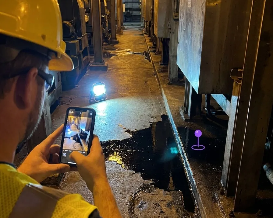
A worker logging a hazard on a phone with the position captured automatically

Incident Reporting With a Location Somebody Can Actually Return To

Most reports describe where. This attaches where, to sub-5 cm, automatically.

One tap while it is happening. No typing a description of the location.

The person reporting a hazard is rarely the person who fixes it, and almost never the person who analyses it a year later.

Why Under-Reporting Is a Friction Problem

Every EHS team knows near-misses are under-reported. The usual explanation is culture, and culture is part of it. The other part is that reporting one takes several minutes on a phone, most of which is spent describing a location the reporter can see and the form cannot.

Reduce that to pointing a camera and confirming, and the reporting rate changes. Not because anyone became more safety conscious, but because the cost of doing the right thing dropped below the threshold where people skip it.

What a free-text location costs you later
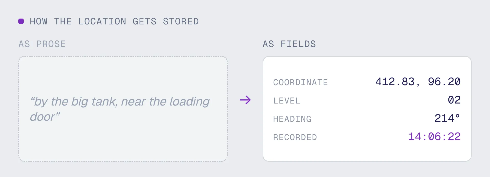
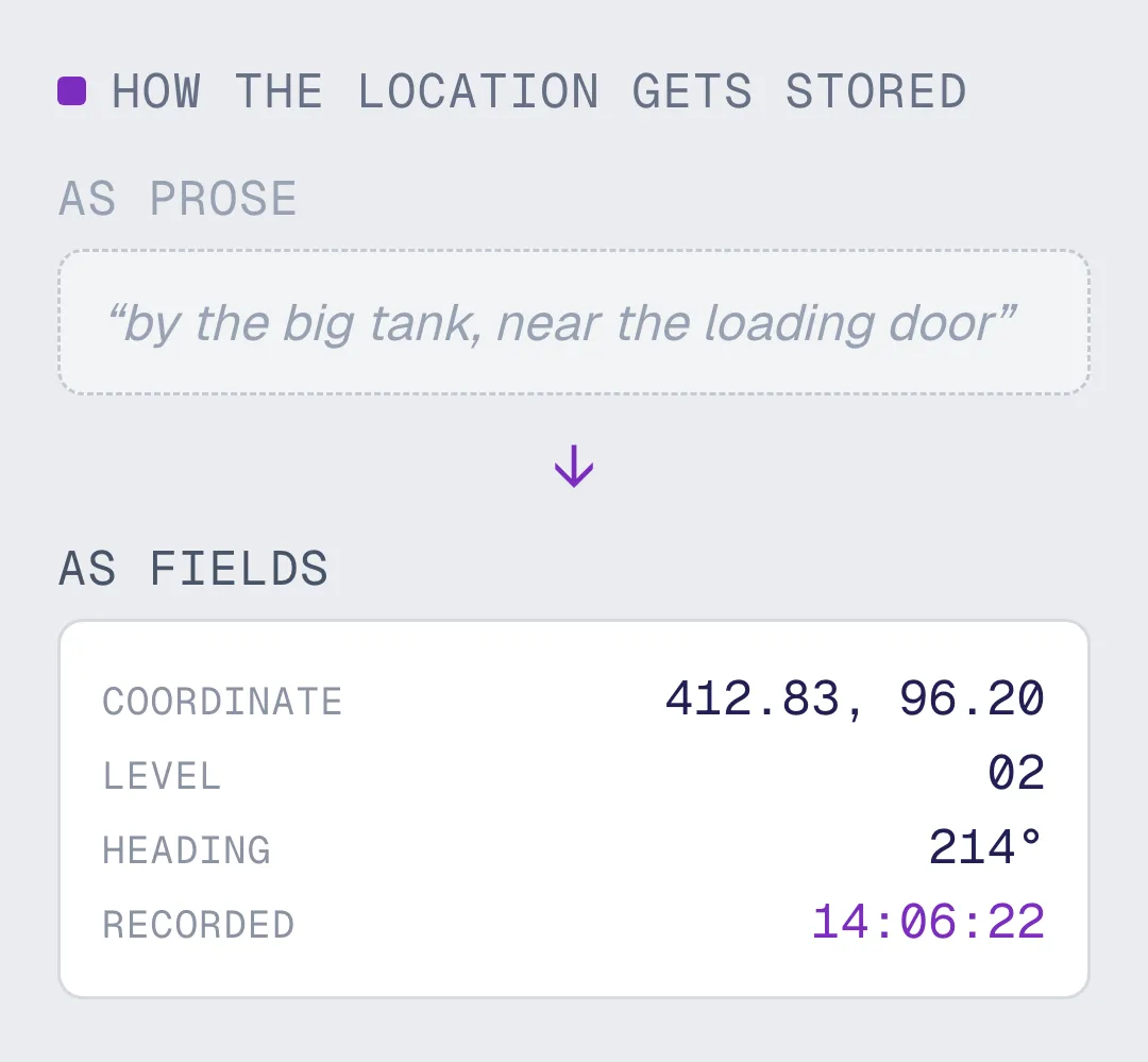
A year of incident records described in sentences cannot be analysed spatially. You cannot cluster them, you cannot overlay them on a route, and you cannot answer whether the same three metres of walkway keeps producing slips. The data exists and the pattern is unreachable, because location was stored as prose. Coordinates make that a query. Prose makes it a reading exercise nobody has time for.

Reported from: a phone, a tablet, smart glasses, or a browser with no app install
Written as:

- A coordinate and heading, into the EHS system you already run
- Findable again by responders, auditors and anyone reviewing the pattern

Report, Respond, Analyse

Raising a camera to report an incident without describing the location
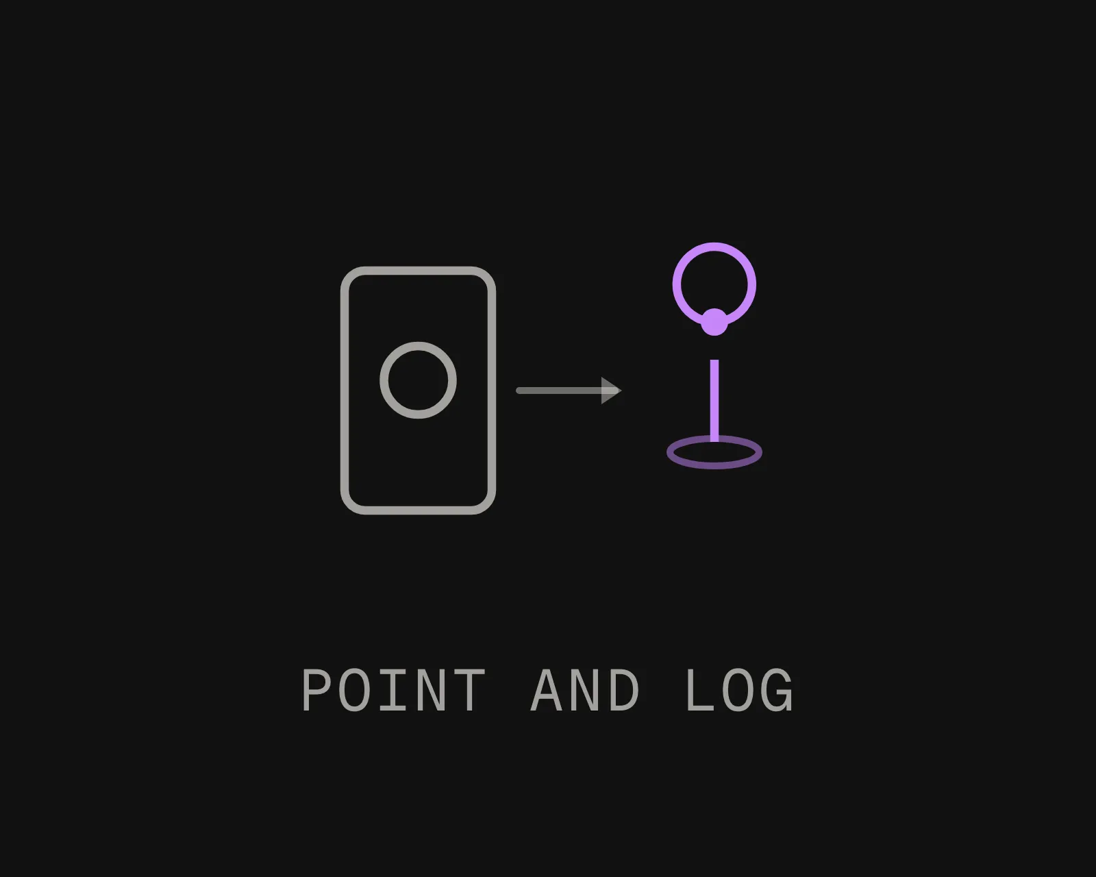
Report in seconds
Raise the camera, the device works out where it is, and the report carries the position without anyone describing it. Photograph and category are the only things the reporter has to supply.
A responder routed to the exact reported location inside a facility
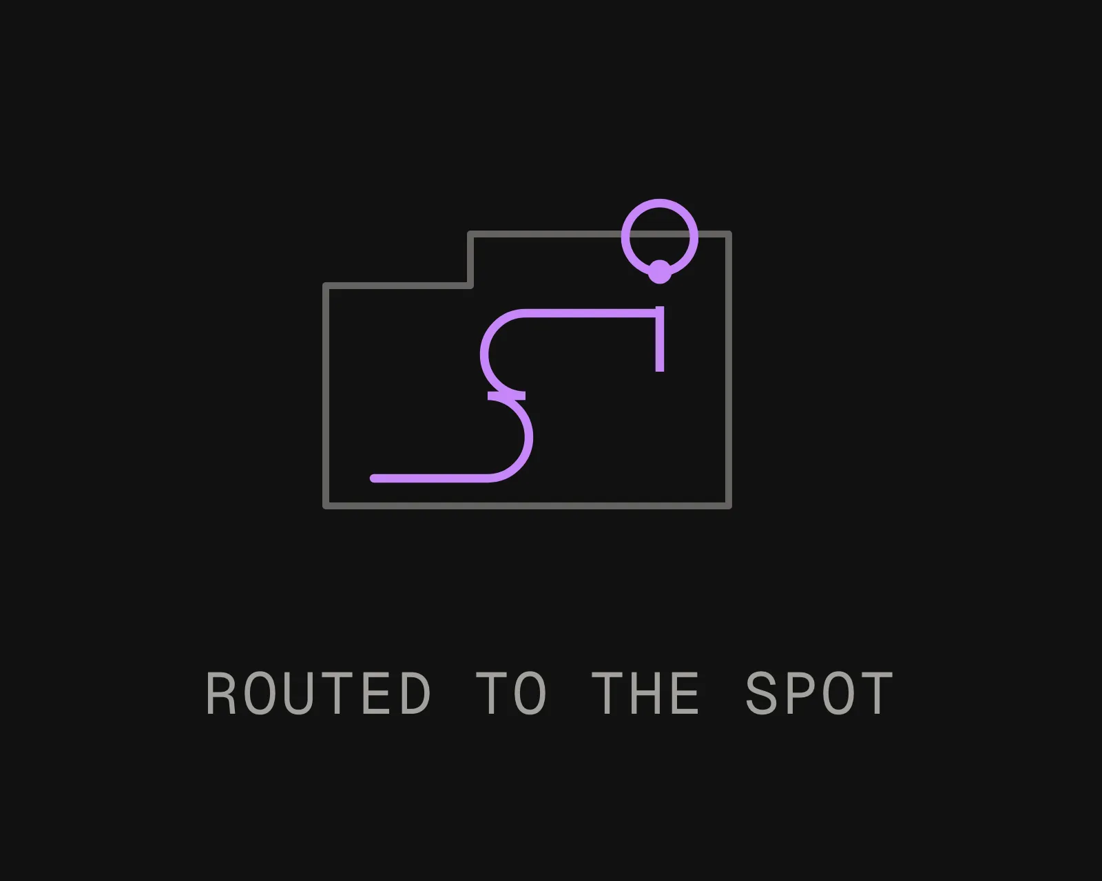
Route the responder to it
Whoever picks up the action is navigated to the exact spot and sees the original view. No second conversation to establish what was meant, and no walking a floor looking for something described in a sentence.
A year of incident reports clustered on site geometry as a heat map
Analyse the pattern
Once reports are coordinates, a year of them is a heat map. Clusters appear against the actual geometry of the site, which is how a recurring hazard gets attributed to a place rather than to a shift or a crew.

What Changes When Location Is Structured

Near-Miss Reporting Actually Happens

The reports most worth having are the ones where nothing happened, and those are exactly the ones people skip because the form takes too long. Removing the location-description step removes most of the form.
Hazard Clustering

Three slips in the same doorway over six months read as three unrelated entries in a spreadsheet and as an obvious problem on a map. Spatial analysis is only available to you if location was captured as data in the first place.
Investigation and Evidence

An investigator can reproduce the reporter's exact viewpoint months later, including sightlines and what was and was not visible from where they stood. That is a materially stronger record than a photograph and a paragraph.
Permit and Isolation Verification

Confirming the correct valve was isolated is a positioning problem before it is a paperwork problem. Verification against the specific unit, rather than the area, is where the real risk sits.
Lone Worker and Emergency Response

Indoors and under structure, satellite positioning is unavailable or confidently wrong. Camera-based localization gives a position inside the building, which is the case where knowing the floor and the wing is not sufficient.
It Feeds Your EHS System, Not a New One

MultiSet is not an incident reporting product. It supplies the coordinate through an API, into whatever platform already holds your workflow, escalation and regulatory reporting. Nothing about your process changes except that location becomes structured.

Location As Prose, Against Location As Data

Same incident, same reporter, same platform. The only difference is how the where was captured.

Related: AR quality inspection covers scheduled checks, compliance and change detection, and connected worker covers the wider case of getting system-of-record data to people in the field.

Talk It Through
DIMENSION
Typed or dropped on a floor plan
Captured as a 6-DoF coordinate
Time to file a report
Minutes, most of it describing the place
Seconds. Photograph, category, confirm
Precision of the location
A room, a zone, or whatever the reporter wrote
Sub-5 cm, with the direction they were facing
Responder finding it
Interprets the description, often asks the reporter
Routed to the spot, shown the original view
Analysing a year of reports
Someone reads them. Patterns get missed
Cluster them on the site geometry and query it
Reproducing the scene for investigation
Approximate, from memory and a photograph
Stand exactly where they stood, months later
Works indoors and under structure
GPS is unavailable or wrong, so it falls back to typing
Yes. It never depended on a satellite fix
Frequently asked questions
Is MultiSet incident reporting software?

No. Your EHS platform keeps the workflow, escalation, corrective actions and regulatory reporting. MultiSet supplies one field those systems do not have: a precise coordinate for where the incident actually was, captured automatically instead of typed. It is an API and an SDK, not a replacement.

Why not just use GPS on the phone?

Because most industrial incidents happen indoors or under structure, where satellite positioning either fails or returns a position that exists and is wrong by tens of metres. On a multi-level site GPS also has no reliable idea which floor you are on. Camera-based localization gives a position inside the building, including the floor, without depending on a signal.

Will this actually improve near-miss reporting rates?

It removes one specific cause of under-reporting: the time spent describing a location. It does not address the cultural causes, and anyone claiming a positioning system fixes reporting culture is overselling. Measure it as a friction reduction and judge it on whether submission rates move.

What does the worker actually do?

Opens the app or a browser link, points the camera at the scene, and confirms. Localization happens from the camera frame, so the position is attached before they have typed anything. Everything after that is whatever your existing form asks for.

Does the site need to be mapped first?

Yes, and most industrial sites already are. E57, LiDAR, Matterport, NavVis, Leica, FARO, XGRIDS, 360 video and phone captures all work as inputs, so the scan taken years ago for engineering or facilities is usually enough. No new survey and no hardware installed.

What happens to reports when the site is rearranged?

Re-scan the zone that changed. Historic reports keep their coordinates in the same base frame, so a hazard logged before a layout change is still in the right place afterwards and remains comparable with everything logged since. Losing history on every re-scan would defeat the point of collecting it.

Is camera capture acceptable in a restricted facility?

This is usually the first question and it is the right one. Localization can run entirely on the device, so no imagery leaves the site at all. For stricter environments the same software runs self-hosted on your own hardware or fully air-gapped with no outbound call, including no licence check.