For AI agents on glasses, phones and robots

Spatial Memory for AI Agents

Your agents can already see. MultiSet tells them where they stand, which machine is in front of them, which part to work on and where everything else sits, from the scans and CAD your site already holds.

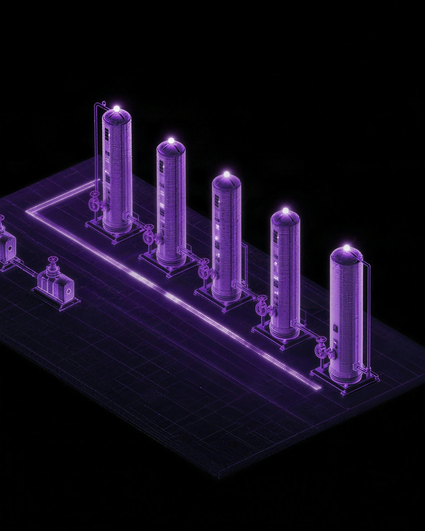
Illustration of a plant room drawn as a 3D scan, with every tank tagged and a lit route across the floor
Which tank is due for service?
The last one in the row, 14 m ahead. Route drawn from where you stand.
Illustration
<5cm

median VPS accuracy, from one camera frame

mm

object tracking precision, from a scan or CAD

10

objects checked in one cloud query

0

beacons installed, since the map comes from your scans

Four questions every agent asks on a real site

Vision models can name a pump. Knowing which of six identical pumps is in view, and where the wearer stands, takes a map of the site.

01

Where am I

Answered by VPS

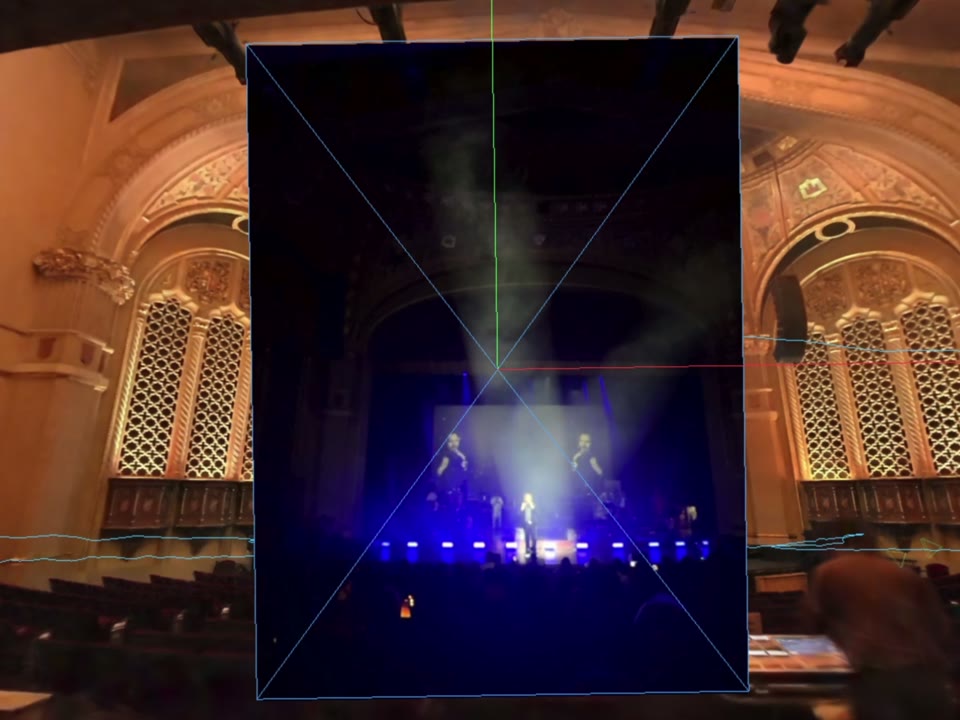
One camera frame returns a 6-DoF pose in the map of your site at a sub-5 cm median, on glasses, phones, headsets and robots.

Today A phone photo placed as a frame inside a 3D scan of the theatre where it was taken
02

What is this

Answered by Object Tracking

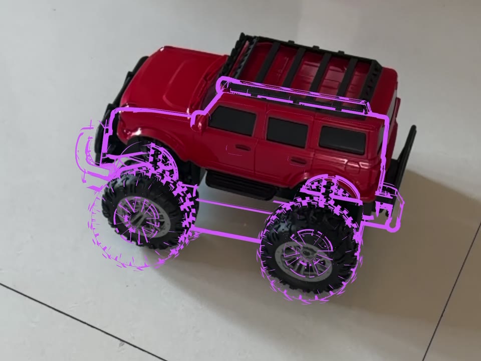
The machine is recognized from its scan or CAD with millimeter precision, and its pose lands in the same map, so its place says which of six identical units it is.

Today A toy truck found by the app and outlined from its 3D model
03

What do I do with it

Answered by Object Tracking, part by part

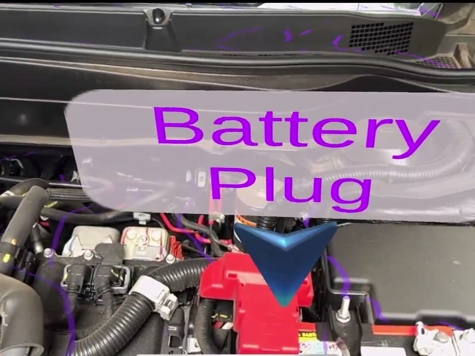
Each part tracks on its own, even in the technician's hand, with the step, the reading and the work order anchored to it. Your agent brings the instruction from your own procedures.

Today A label anchored to the engine oil cap in an engine bay
04

Where is everything else

Answered by the map, as the site's memory

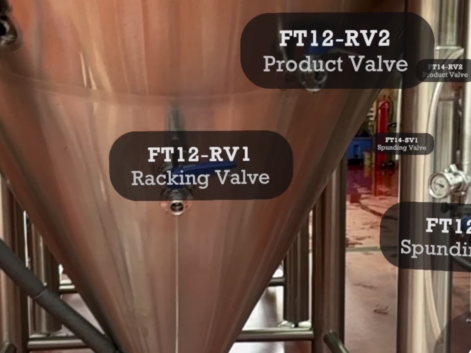
Every tag in your asset register sits where the asset stands, so an agent can route a wearer to any of them. Listing and counting by type and floor is next.

Today and next Brewery fermentation tanks with each valve labelled in place
Ask the map, and get an answer you can walk to

Bring your asset register in the coordinates it already uses, from a plant grid, an EPSG code or GeoJSON, and every tag becomes a place in the map. Your agent calls MultiSet like any other tool and gets back a position, the unit in view and the nearest tags.

Agent session · site map loaded
Take me to motor 249B.

Route drawn from where you stand. Twenty-one meters to go.

App recording
Today
Is this P-101 or P-102?

P-102, the second unit from the wall. Its open work order is on screen.

Today
How many flanges are on floor 3?

Sixty-two tagged on floor 3, twelve of them in bay C.

Next
Tool callToday, REST API and SDKsPlanned, MCP server
// Illustrative response
{
  "map": "plant-north",
  "pose": {
    "position": [12.41, 1.62, -3.08],
    "rotation": [0, 0.38, 0, 0.92]
  },
  "confidence": 0.91,
  "object": {
    "code": "P-102",
    "name": "Feed pump P-102"
  },
  "nearest": [{
    "tag": "V-12", "type": "valve",
    "distance_m": 3.4,
    "bearing": "ahead, left"
  }]
}

Illustrative conversation. The route clip is a real recording from the MultiSet app.

One memory for people, agents and robots

A place one device names is a place every other can find.

Glasses, phones, headsets and robots read the same map. A tank the agent names for the wearer is a goal the robot can walk to, on the same coordinates.

Phone recording, brewery floor

From a site scan to a grounded agent

  1. 01

    Map the site

    Upload the E57, Matterport or 360 capture you already own, or scan a room with the MultiSet app.

  2. 02

    Add tags and CAD

    Import the asset register in its own coordinates and upload the scans or CAD of the machines and parts that matter.

  3. 03

    Connect your agent

    Call the API or an SDK from your app and hand the result to the model that runs the conversation.

Position
Sub-5 cm median 6-DoF pose from one camera frame
Objects
Millimeter-precise, from a textured scan or untextured CAD such as STEP, IGES, FBX or OBJ
Object size
5 cm and up, with 10 cm and up working best
Per query
Up to 10 objects, best match returned
Asset tags
Plant grid, EPSG or GeoJSON coordinates, placed in the map
Maps from
E57, Matterport, NavVis, splats, 360 video or a phone scan
Devices
Phones, smart glasses, XR headsets and robots, plus any camera over REST
SDKs
Unity, iOS, Android and WebXR, plus the REST API
ROS 2
Supported, with access set up by our team. Contact us for access
Agent access
REST API and SDKs today, with an MCP server planned
Hosting
MultiSet Cloud, Dedicated Cloud or Private Cloud / VPC

Give your agent a map of one room today, on the free plan.

Build with MultiSet

Give your agents a spatial memory of your site.

Start with one room on the free plan, or bring us the scan of a plant, the CAD of its equipment and its asset register.