Press Release

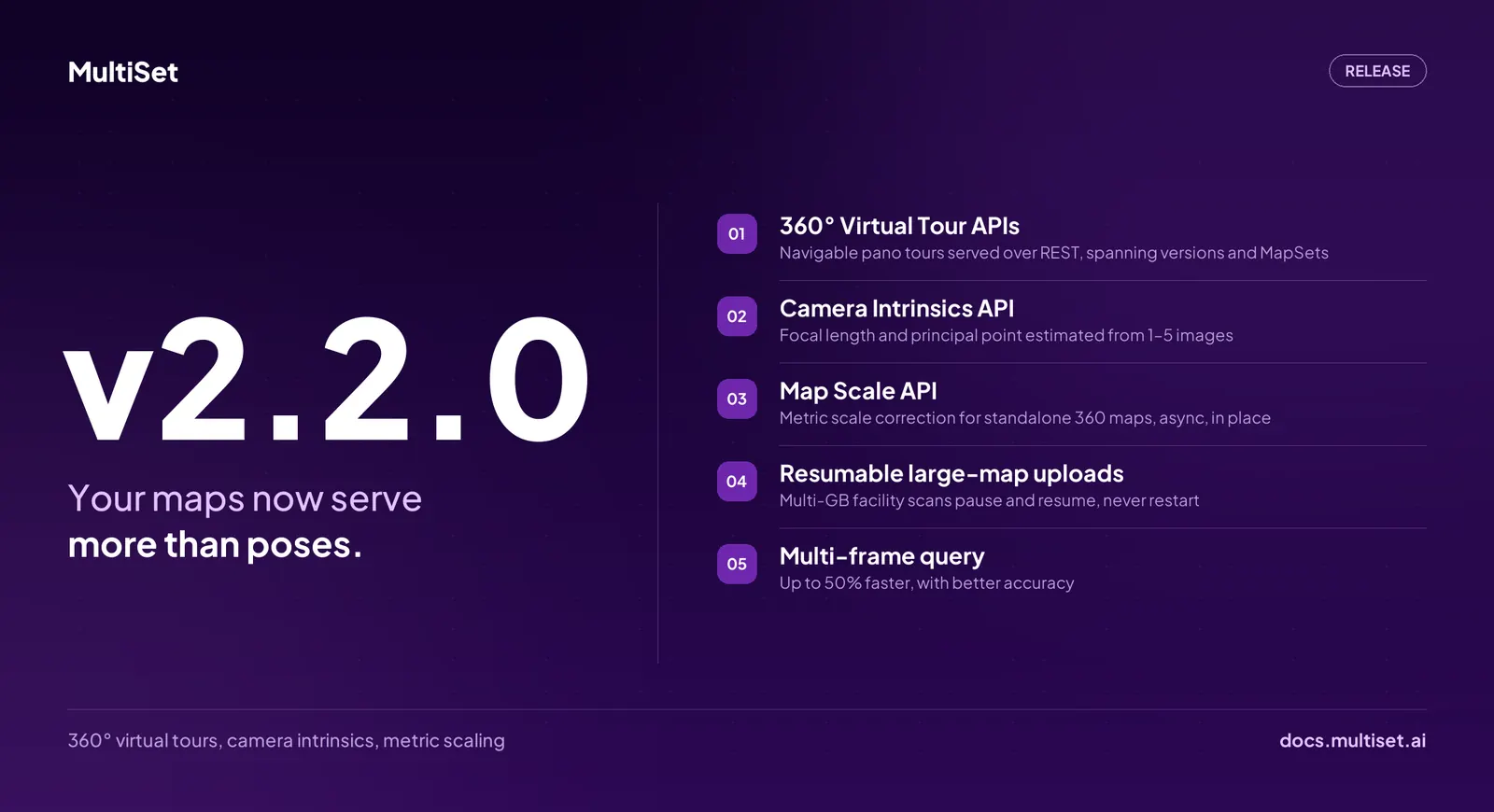
MultiSet AI has released v2.2.0. Until now a MultiSet map answered one question: where is this device? v2.2.0 opens a second. The 360° panoramas MultiSet already creates from your capture are now available as a navigable virtual tour any application can pull in, sitting in the same space as the positions your devices already query. The release also works out lens settings for cameras that arrive without calibration data, sets true real-world scale on marker-less 360 captures, makes large scan uploads resumable, and speeds up multi-frame localization by up to 50%.
A MultiSet map has always been two things at once. Something machines read, to know where they are. Something people read: the mesh and the Gaussian Splat you look at to understand a space.
Only the machine half was fully available to developers. v2.2.0 closes that gap. Your maps now serve more than poses.
A tour is a set of standing points, connected to one another. At each point you get the full 360° view, and you can step to any neighbouring point, the way you would explore a street-level map. Tours are created automatically for any map built from 360° imagery: 360 video captures, and Matterport MatterPak or E57 scans that carry panoramas. There is no extra capture step and no separate upload. The tour comes from the scan you already have.
Virtual tours are not new. Tours that know where they are, in the same space a live positioning system works in, are. Every standing point in a MultiSet tour carries its real position, so a device localized by MultiSet VPS can be dropped into the tour at the exact spot it is standing. A technician on the floor and a supervisor at a desk see the same view at the same moment, with no manual alignment and no second capture. Anchors, navigation paths, work instructions, and digital twin links all live in that same space.
The rest of the market sells a walkthrough tour as its own product, in its own silo. In MultiSet it is simply one of the things a map produces, alongside the mesh and the Gaussian Splat, and it is reachable through the same map your app already uses. Developers can load a whole tour at once, or stream just the part around the user as they move. The documentation has the details.
A tour can show the same viewpoint across every scan of a space. Stand in one spot, switch between captures taken months apart, and see what changed. This composes with Map Versioning: operators already rescan a facility as it changes without re-authoring the content built on top of it, and now they can see the difference without opening a modelling tool.
A tour can also cover a whole MapSet, joining separate maps into one continuous walkthrough where they meet. A visitor walks from one floor into the next without noticing a boundary. MapSet already scales positioning across floors, zones, and full campuses. The tour now scales with it.
Calibration data is a quiet blocker on a large share of enterprise integrations. Drone payloads, third-party smart glasses, fixed site cameras, and archived footage all arrive without it.
The new Camera Intrinsics API works out a camera's lens characteristics from as few as one image, and up to five, including wide-angle and fisheye lenses. It reports how confident it is, so whatever runs next knows how much to trust the result. It is a starting estimate rather than a full calibration, and it replaces a site visit with a single call.
360 video is the fastest way to capture a space on MultiSet, and the only input that produces a mesh, a Gaussian Splat, and a 360° tour in a single pass. Its one operational catch has been real-world scale, which normally means placing physical markers before the walk.
v2.2.0 removes the marker. Capture with nothing staged, let the map process, then set the scale afterward. In the Developer Portal, click the two ends of something whose real length you know, a door, a window, a floor tile, and type in that length. The map resizes to match. Teams automating their pipeline can do the same thing through the Map Scale API.
A consumer 360 camera and one walk-through now produce a correctly scaled map with no staging, no markers, and no return visit. That is the scan-agnostic thesis extended to its cheapest input.
Multi-frame localization is now more accurate and up to 50% faster. Multi-frame is what robotics, drone, and headset integrations use when one image is not enough to fix a position, and it is where waiting is felt most. Existing integrations get the improvement with no code change.
Large map uploads are now resumable. Facility scans run to several gigabytes and are usually uploaded from the facility itself, over site wifi or a phone hotspot, where a dropped connection used to mean starting over. Now an interrupted upload picks up where it stopped. Object uploads move to the same packaging as map uploads, so both follow one flow.
v2.2.0 is live on MultiSet's public cloud and rolling out to private-cloud, self-hosted, and on-device customers on each environment's normal cadence. It spans every supported platform: Unity, native iOS and Android, WebXR, Meta Quest, and the wearable SDK.
Existing integrations require no changes. The new capabilities are additive, resumable upload is opt-in, and faster multi-frame localization applies automatically. Object upload is the one flow that changes shape.
Maps already processed from 360 video, E57, or MatterPak input already carry their tour, so for most teams it is waiting in the portal. Full details in the v2.2.0 changelog.