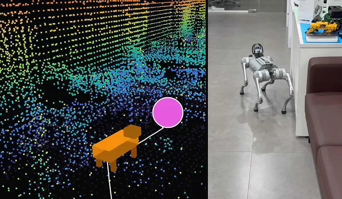
A quadruped robot's model driving along its path to a goal marker in the point cloud map, beside the real robot walking an office floor.
One Coordinate Frame Every Device on Site Agrees On

Robots, Drones and Wearables

The same centimeter-accurate frame for every worker, AMR, drone and wearable on site. A neutral, privacy-controlled coordinate system that makes handoffs predictable and routes safe.
One Neutral Map
No vendor owns the frame every device localizes against.
Multi-Map Continuity
Yard, dock and aisle transitions with low drift.
Semantic Safety Zones
No-go and slow-down lanes, handoff bays and emergency routes.
Enterprise-Grade Privacy
VPC and on-prem options; encrypted, private maps.
What is “Robots, Drones and Wearables”?
VDA 5050 gave mixed fleets a common language for commands, but no common map. Every robot, drone and wearable holds its own idea of where it is. MultiSet is the shared frame underneath, so people and machines localize into one coordinate system.
Contact Us
Benefits & Measurable Impact
Higher Throughput
Fewer wait states and less dead-heading with shared anchors and routes.
Safer Shared Space
Bring robots, drones and wearables into one frame; define lanes and handoff bays.
Lower Map Ops Cost
Shared anchors for machines, in-view tasking for people; track throughput and near-miss rate.

Who it’s for

Built for sites where people, mobile robots, drones and wearables share the same floor.
Automation & Robotics Leaders
Warehouse & Fulfillment Ops
Manufacturing Plants
Airports & Seaports
Safety/EHS
IT/OT
How it works
MAP OR IMPORT SCANS
Ingest E57, Matterport, NavVis or Leica; add yard, dock and aisle semantics.
Align Devices & Zones
Bring robots, drones and wearables into one frame; define lanes and handoff bays.
Coordinate & Monitor
Shared anchors for machines, in-view tasking for people; track throughput and near-miss rate.