Prevu3D holds the as-built twin of your plant. MultiSet turns it into a positioning map, so every phone, tablet, headset and pair of smart glasses on site knows where it is and which asset it’s looking at, with the Prevu3D data on the equipment itself.
Prevu3D is the reality platform built for industrial scale. Manufacturers, food and beverage producers, rail operators and energy companies use it to turn laser scans, SLAM walks, drone flights and 360 video into an as-built twin, with every pump and valve defined as an asset and tied to the systems that run the plant.
MultiSet is the positioning layer for that twin. Prevu3D knows what is on the site, and MultiSet tells every device on the floor where it is inside it.
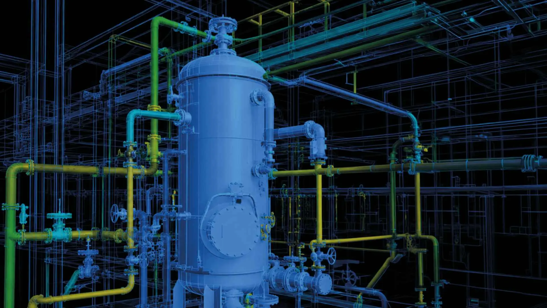
Many plants already keep their reality capture in Prevu3D. MultiSet connects to RealityPlatform, pulls that capture directly and builds a positioning map from it. Nobody exports a file or walks the site again.
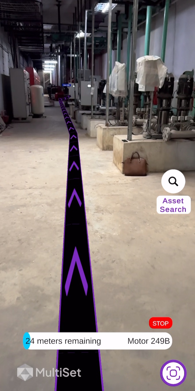
The twin stays at the desk, where engineers and planners use it. The positioning map goes to the floor. A technician’s device localizes against it from the camera alone and lands in the same coordinates as the twin, so every asset Prevu3D knows about can be found and worked on in place.
A viewer answers questions for someone at a screen. A technician in front of a skid needs a different answer, delivered one-handed. The two platforms split the work cleanly.
| Prevu3D | MultiSet | |
|---|---|---|
| Answers | What is on this site, and what do we know about it | Where is this device, and which asset is in front of it |
| Built for | Engineers, planners and remote experts | Technicians, contractors, operators and robots |
| Runs on | Browser, desktop, CAD and simulation tools | Phones, tablets, smart glasses, XR headsets and robots |
| Core output | As-built twin with RealityAssets and live data | 6-DoF position, under 5 cm median on a multi-frame query |
| Stays current with | Partial re-scans merged into the twin | Map versioning that keeps content on unchanged areas |

| Security | SOC 2 Type II. ISO 27001 aligned. AES-256 encryption. Single sign-on with Microsoft Entra ID |
| Deployment | MultiSet cloud, dedicated single-tenant cloud in your region, private cloud or on-premises. On-device positioning for sites without connectivity |
| Accuracy | Under 5 cm median error on a multi-frame query, from the device camera alone |
| On-site hardware | None. No beacons, markers or QR codes to install or maintain |
| Devices | iOS and Android phones and tablets, smart glasses, XR headsets and robots, plus a REST API for any other camera |
| Scan sources | Everything Prevu3D ingests, plus E57, Matterport, Gaussian splats, 360 video and phone scans |
| Map upkeep | Partial re-scans update the map without discarding content placed on the rest of the site |
| Commercial model | Annual license priced on area and usage, with map processing included |
| First project | A two-week proof of concept on one area, built on scans already in Prevu3D |
No. MultiSet builds the positioning map from the capture Prevu3D already holds.
Most of the effort in any deployment is capture. With the site already scanned into Prevu3D, the positioning map is a processing run, and a first area can be live within a two-week proof of concept.
Nothing. Positioning comes from the device camera against the map, and on-device positioning keeps working without a network.
Viewers serve the desk. MultiSet serves the person on the floor, and it uses the same capture, so the two stay in step.

