Press Release

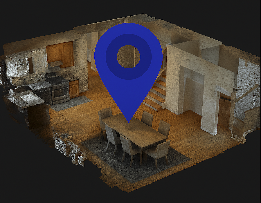
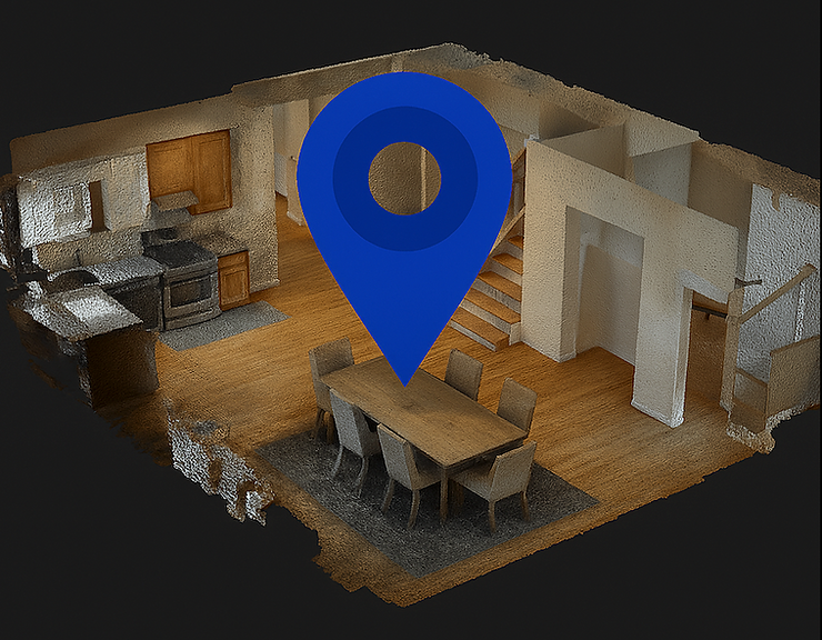
Multiset has announced the release of its new desktop application, Multiset MapFoundry, designed to expand the capabilities of its visual positioning system (VPS). This powerful new tool supports ingestion of textured 3D scenes, including Matterport Matterpak files, allowing for visual localization without requiring traditional camera images.
A standout feature of MapFoundry is its advanced novel view synthesis capability. This technology allows the system to generate new perspectives of a 3D environment that weren't part of the original capture.
Novel view synthesis lets MapFoundry create virtual camera views from any position within the 3D scene. This means we can generate the exact viewpoints needed for visual positioning without physical cameras ever being in those locations.
This capability is particularly valuable when working with pre-existing 3D models where additional photography isn't possible, or when certain viewpoints would be difficult to capture physically. By synthesizing these views, MapFoundry creates a more complete understanding of spaces for more reliable positioning.
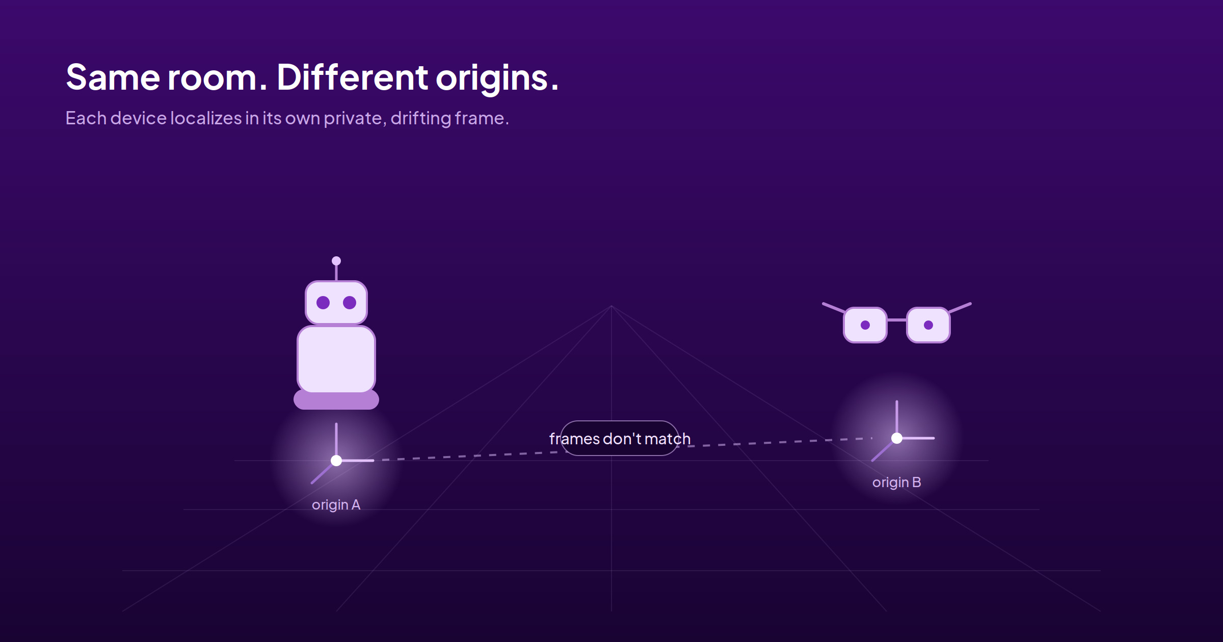
The key innovation in MapFoundry is its ability to work with any textured 3D scene for precise location tracking. This breakthrough makes Multiset's system compatible with a wide range of vendors and 3D formats commonly produced by modern scanning equipment.
Textured 3D meshes are the standard output format for many scanning systems today. With MapFoundry, these existing assets can now be directly used for visual positioning, eliminating the need for separate image capture processes.
Despite moving beyond traditional image-based mapping, Multiset MapFoundry achieves the same high level of accuracy and reliability with 3D scenes as it does with 2D image maps. This consistency ensures users don't have to compromise on performance while gaining greater flexibility in how they create and use spatial maps.
The application processes textured 3D meshes to extract the visual information needed for positioning, converting these rich 3D assets into navigation-ready maps that work seamlessly with Multiset's visual positioning system.
With the release of MapFoundry, Multiset's system now supports visual localization across all major spatial data formats:
This universal compatibility means that businesses and developers can use whatever mapping solution works best for their specific needs, while still benefiting from Multiset's precise visual positioning technology.
The desktop application is available now through Multiset's platform at https://developer.multiset.ai/download
MultiSet Team.